


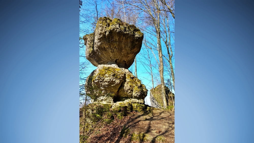
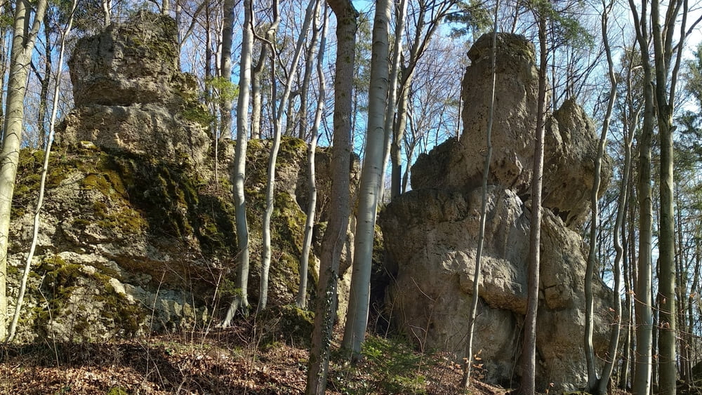
Gemütliche Wanderung, die noch kahlen Bäume geben den Blick auf manche Felsformationen frei, die später im üppigen Laubkleid verborgen bleiben.
Tour gallery
Tour map and elevation profile
Minimum height 448 m
Maximum height 588 m
More about the tour author
|
|
heinz-57 |
Comments

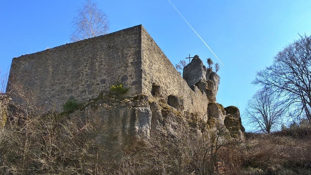
Von Parkplatz dan Wanderweg nach Nord, an zweiter Abszweigung links ab nach Bärnfels. Kurzer Anstieg zur Burgruine führt nicht bis nach oben, da aktuell (2019-03) eine Anstiegstreppe neu errichtet wird. Zurück zum Weg, nach rechts, vor dem letzten Haus nochmals nach rechts zu Aussichtspunkt an der Ruine. Zurück, nach rechts abwärts. vor der Straße nach rechts und kurz auf der Straße bergan. Auf der Höhe links weiter nach Soranger.
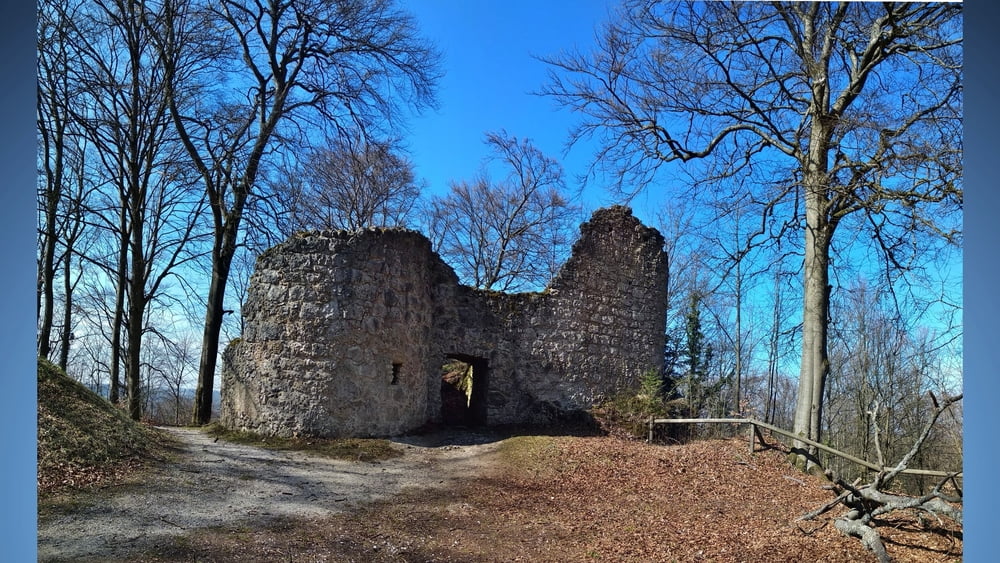
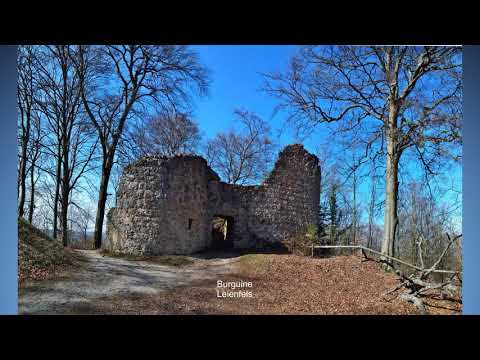
Rechts ab führt uns der Weg bald am Waldrand entlang zur Straße nach Graisch. Wir queren und im Wald aufwärts nach Leienfels. Kurzer Abstecher zur Burgruine, zurück zum Gasthaus, rechts in den Wald und abwärts weiter. Es geht im Wald nun kräftig bergab, wir treffen auf den Herz- Kreislauf- Weg und nach rechts zurück zum Parkplatz.
GPS tracks
Trackpoints-
GPX / Garmin Map Source (gpx) download
-
TCX / Garmin Training Center® (tcx) download
-
CRS / Garmin Training Center® (crs) download
-
Google Earth (kml) download
-
G7ToWin (g7t) download
-
TTQV (trk) download
-
Overlay (ovl) download
-
Fugawi (txt) download
-
Kompass (DAV) Track (tk) download
-
Track data sheet (pdf) download
-
Original file of the author (gpx) download
More about the tour author
|
|
heinz-57 |
Add to my favorites
Remove from my favorites
Edit tags
Open track
My score
Rate