
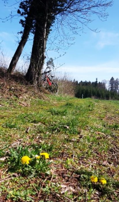

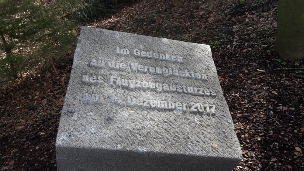
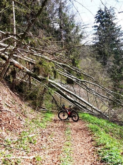
Frühjahrstour von Tettnang über Waldburg (Absturzstelle Kleinflugzeug 2017) und weiter Richtung Hannober. Die Waldburger Trails waren wegen Sturmholz bzw. Holzarbeiten nicht fahrbar. Die Tour geht deshalb vorwiegend auf befestigten Wegen und ist auch mit Treckingrad fahrbar. Einkehr war im Grünen Baum "Kongo"
Über Amtzell und Krumbach Hopfenpfad kommen wir zurück nach Tettnang.
Tour gallery
Tour map and elevation profile
Minimum height 468 m
Maximum height 724 m
More about the tour author
|
|
Bockrider |
Comments

Start beim Wohnmobilstellplatz in 88069 Tettnang.
GPS tracks
Trackpoints-
GPX / Garmin Map Source (gpx) download
-
TCX / Garmin Training Center® (tcx) download
-
CRS / Garmin Training Center® (crs) download
-
Google Earth (kml) download
-
G7ToWin (g7t) download
-
TTQV (trk) download
-
Overlay (ovl) download
-
Fugawi (txt) download
-
Kompass (DAV) Track (tk) download
-
Track data sheet (pdf) download
-
Original file of the author (gpx) download
More about the tour author
|
|
Bockrider |
Add to my favorites
Remove from my favorites
Edit tags
Open track
My score
Rate