Login

Forgot your login?

Cookies have to be accepted!
Your browser's cookie functionality is disabled. Please enable this functionality.

Not a member yet?

Register now
Login

Available for registred users only

Log in to use this feature.

Forgot your login?

Cookies have to be accepted!
Your browser's cookie functionality is disabled. Please enable this functionality.

Not a member yet?

Register now
Filter
Categories
Advanced filters
  • Distance (km)
  • Height
Save filters Reset filter

TrackRank

QRCode

Technical data

Distance8,8 km Height1080 m Way down1148 m Duration02:20 h:m Date08.04.2018
Scores Author Landscape Fun factor Fitness Technique

Statistics

200 Views Scores 26 Downloads Average
Rate
  • Track data sheet
  • Directions
  • Downloads

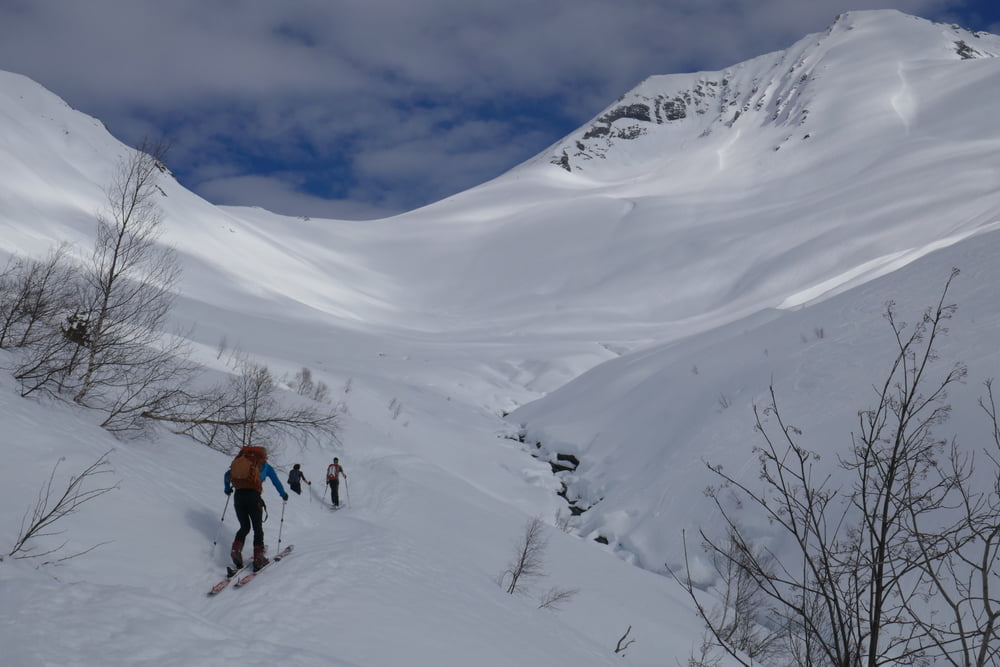
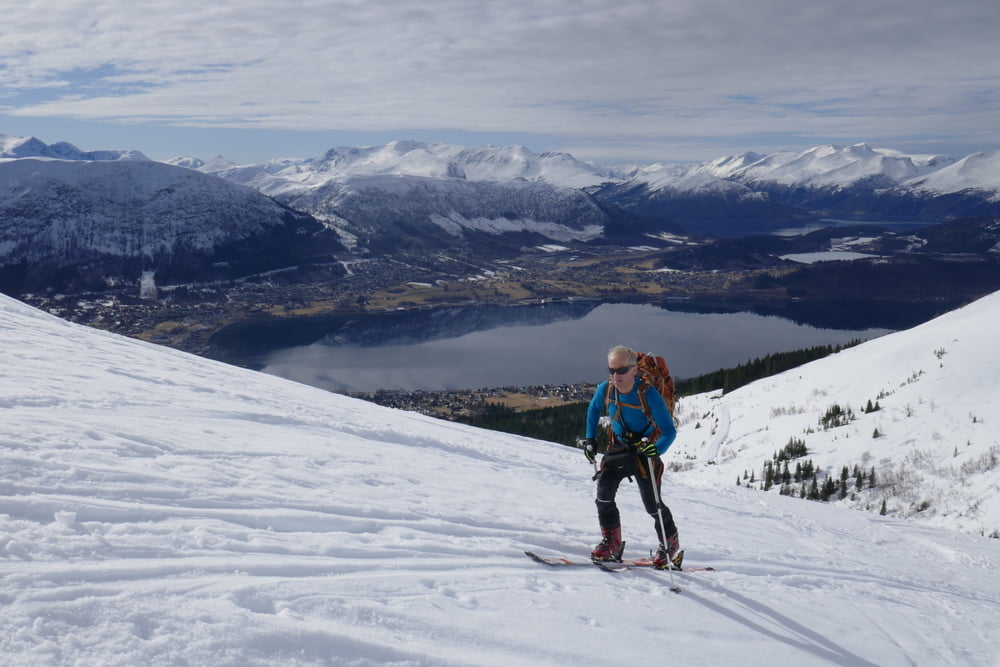
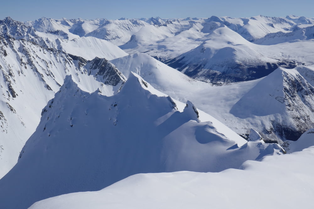
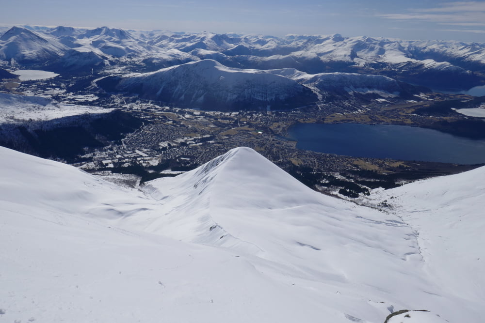
Direkt vom Ort über eine beleuchtete (Rodelbahn?) zu kleiner Hütte. Dann einen Graben nach rechts überqueren und auf einen Rücken. Über den rücken durch die gerne eingewehte Flanke zum Gipfel.

Auf Schneebrettgefahr direkt unter dem Gipfel achten

Tour gallery

Tour map and elevation profile

  • Open Street Map
  • Google
Minimum height 137 m Maximum height 1300 m Detailed view

More about the tour author

Gi
Member since 2010

Send private message

Comments

In Orsta in Richtung Saudehornet hinauf, bis zum Ende der Straße fahren (Parkplatz)

GPS tracks

Trackpoints
  • GPX / Garmin Map Source (gpx) download
  • TCX / Garmin Training Center® (tcx) download
  • CRS / Garmin Training Center® (crs) download
  • Google Earth (kml) download
  • G7ToWin (g7t) download
  • TTQV (trk) download
  • Overlay (ovl) download
  • Fugawi (txt) download
  • Kompass (DAV) Track (tk) download
  • Track data sheet (pdf) download
  • Original file of the author (gpx) download

More about the tour author

Gi
Member since 2010

Send private message
Share track
Add to my favorites
Remove from my favorites
Edit tags
My score
Rate
Track: Saudehornet
Type: Ski touring
Distance: 8,8 km
Evaluated on:
Duration:
Day(s)
Hour(s)
Minute(s)
Score: Landscape Fun factor Fitness Technique