


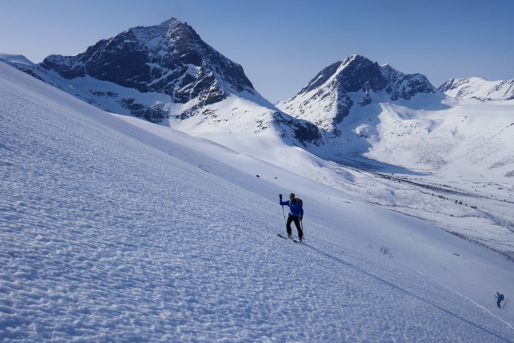
Zuerst dem Bach entlang am Sommerparkplatz vorbei der eingeschneiten Straße bis Rosta folgen. Dann links über die offensichtlichen Hänge hinauf. Die letzten Meter sind leichte Blockkletterei. Wer will kann vor dem Gipfel die Ski rechts hinüber in eine steilere Rinne für die Abfahrt tragen (vorletztes Foto)
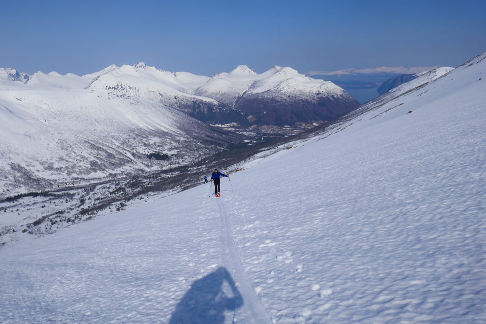
Abfahrt wie Aufstieg
Tour gallery


Tour map and elevation profile
Minimum height 38 m
Maximum height 1511 m
More about the tour author

|
Gi |
Comments

Von Andalsbes ca. 20 km über die E136 nach Osten, dann links auf die 171 abbiegen. Vor der Brücke des Vemora Baches parken, oder bei wenig Schnee mit dem Auto hinauf sowit möglich
GPS tracks
Trackpoints-
GPX / Garmin Map Source (gpx) download
-
TCX / Garmin Training Center® (tcx) download
-
CRS / Garmin Training Center® (crs) download
-
Google Earth (kml) download
-
G7ToWin (g7t) download
-
TTQV (trk) download
-
Overlay (ovl) download
-
Fugawi (txt) download
-
Kompass (DAV) Track (tk) download
-
Track data sheet (pdf) download
-
Original file of the author (gpx) download
More about the tour author
|
|
Gi |
Add to my favorites
Remove from my favorites
Edit tags
Open track
My score
Rate