


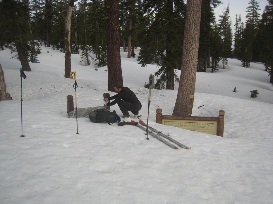
Vom PP über die Forstraße zum Brewer Creek Trailhead (oder besser entlang unserer Abfahrtsspur abkürzend seitlich daran vorbei). Später im Jahr bis dorthin mit dem Auto. Dann dem seichten Rücken nach oben folgen und nach der Waldgrenze leicht links in eine sanfte Mulde einqueren. Zuerst durch die steiler werdende Mulde, dann auf dem Rücken links davon. Ectl. von hier direkt zum Gipfel.
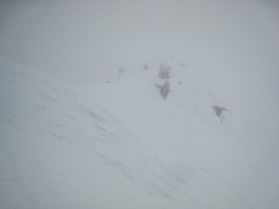
Da bei uns die Sicht stark nachließ habe ich die einfachere Variante mit einer leichten Linksquerung und Aufstieg zum Sattel in Richtung Misery Hill gewählt. dann über den Rücken zum Gipfel.
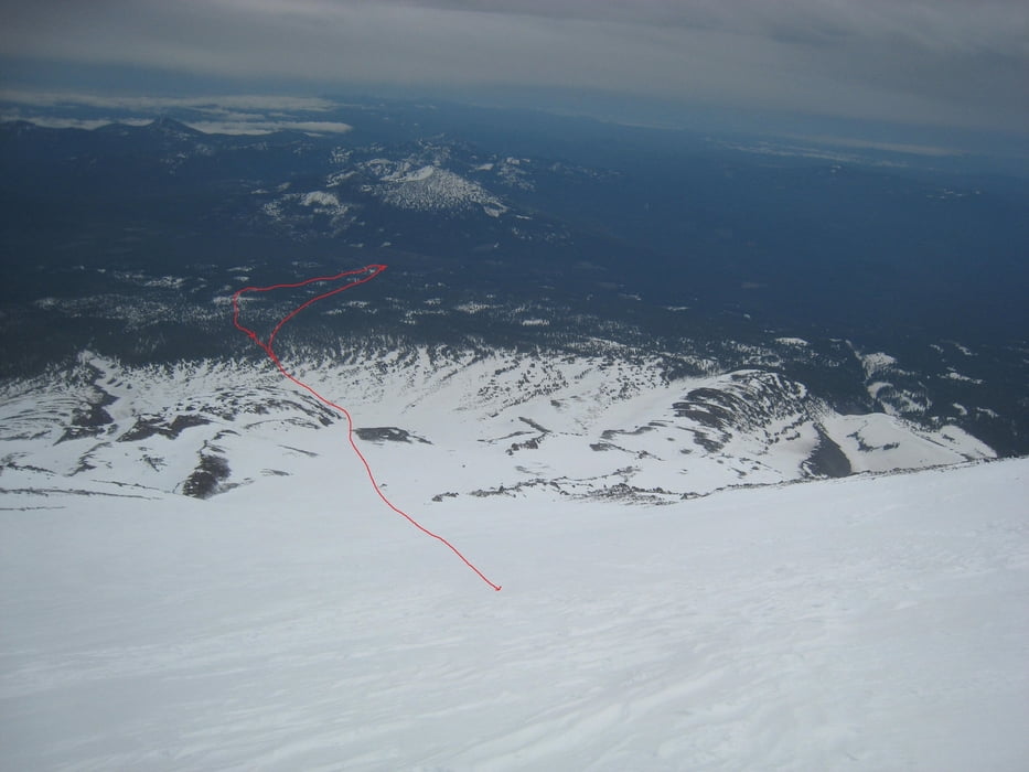
Abfahrt wie Aufstieg.
Der Abfahrtstrack zeigt einen Verhauer im Nebel, kurz unter dem Gipfel
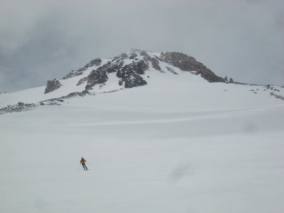
Grandiose, aber sehr lange Tour. Im Gegensatz zum überlaufenden Avanalche Gulch Einsamkeitsgarantie!
Tour gallery
Tour map and elevation profile
Minimum height 1737 m
Maximum height 4313 m
More about the tour author

|
Gi |
Comments

Von Shasta über die C89 nach McCloud. Kurz hinter McCloud links abbiegen auf die Pilgrim Creek Road (13) und später links auf die Military Pass road (19), zuletzt links auf die 42N02 und dort bis zur Schneegrenze bzw. dem Brewer Creek trailhead. Bei uns war trotz Allrad schon an der Abzweigung Schluss.
GPS tracks
Trackpoints-
GPX / Garmin Map Source (gpx) download
-
TCX / Garmin Training Center® (tcx) download
-
CRS / Garmin Training Center® (crs) download
-
Google Earth (kml) download
-
G7ToWin (g7t) download
-
TTQV (trk) download
-
Overlay (ovl) download
-
Fugawi (txt) download
-
Kompass (DAV) Track (tk) download
-
Track data sheet (pdf) download
-
Original file of the author (gpx) download
More about the tour author
|
|
Gi |
Add to my favorites
Remove from my favorites
Edit tags
Open track
My score
Rate