


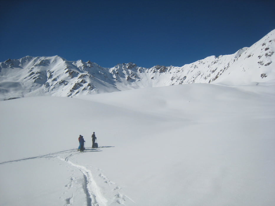
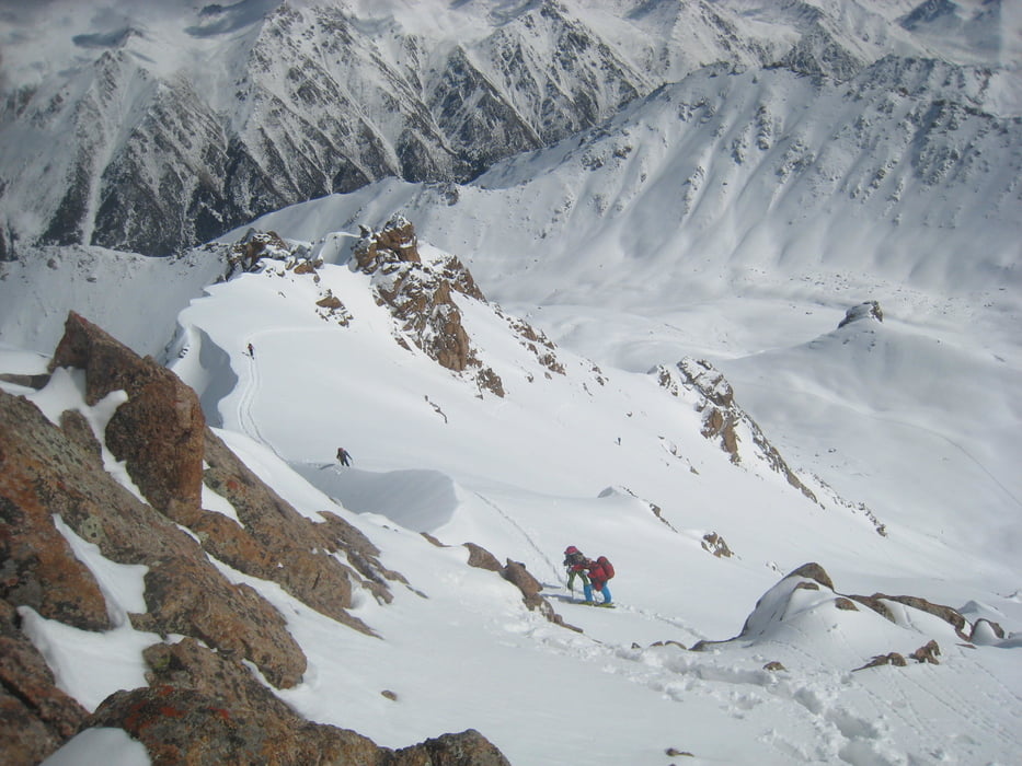
Vom Jurtenlager im AkSuu-Tal zuerst ein kleines Stück steil durch den Wald, dann ins Tal queren, durch dieses empor. Wo das Tal sich weitet an einem kleinen Hügel nach rechts abbiegen und etwas rechts haltend durch die Flanke zu Sattel knapp östlich des Gipfels und über die Flanke, die letzten Meter zu Fuß zum Gipfel. Abfahrt zunächst wie Aufstieg, dann wegen der Schneequalität eher auf der Sonnenseite das Tal hinab um am Ende wieder der Aufstiegsspur zu folgen
Tour gallery
Tour map and elevation profile
Minimum height 2634 m
Maximum height 3836 m
More about the tour author

|
Gi |
Comments

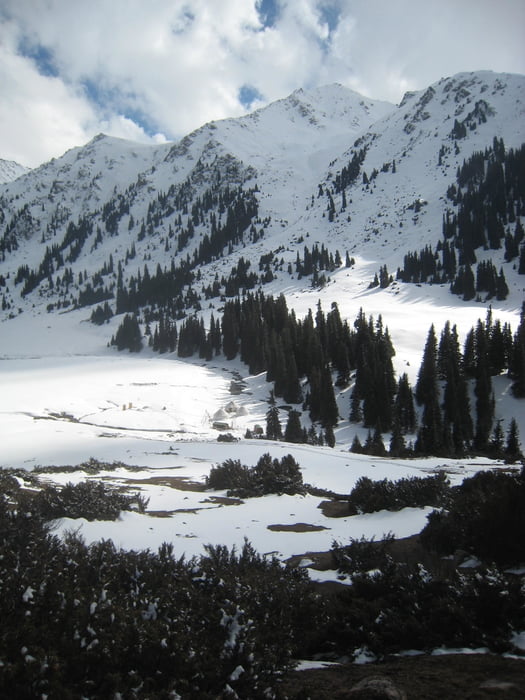
Von Karakol nach Aksuu ans Ortsende dem BAch entlang. Vonhier entweder mit skidoo, Pferden oder auf ski zu Fuß ins Jurtenlager auf 2650m Höhe
GPS tracks
Trackpoints-
GPX / Garmin Map Source (gpx) download
-
TCX / Garmin Training Center® (tcx) download
-
CRS / Garmin Training Center® (crs) download
-
Google Earth (kml) download
-
G7ToWin (g7t) download
-
TTQV (trk) download
-
Overlay (ovl) download
-
Fugawi (txt) download
-
Kompass (DAV) Track (tk) download
-
Track data sheet (pdf) download
-
Original file of the author (gpx) download
More about the tour author
|
|
Gi |
Add to my favorites
Remove from my favorites
Edit tags
Open track
My score
Rate