


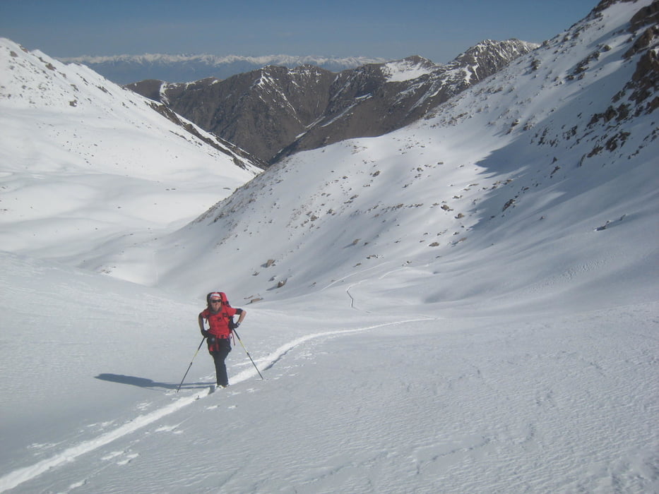
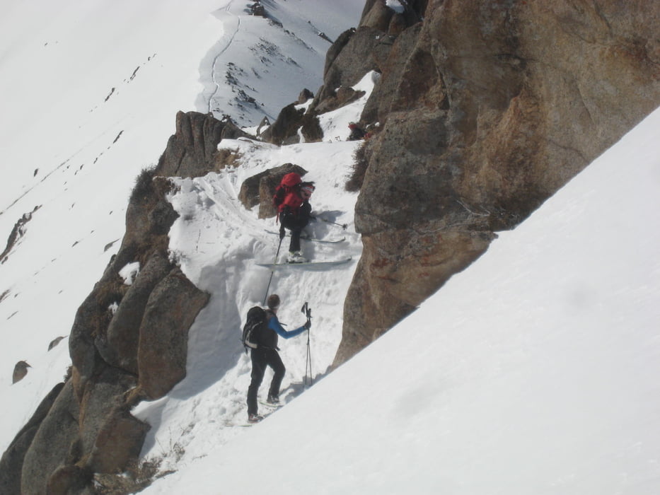
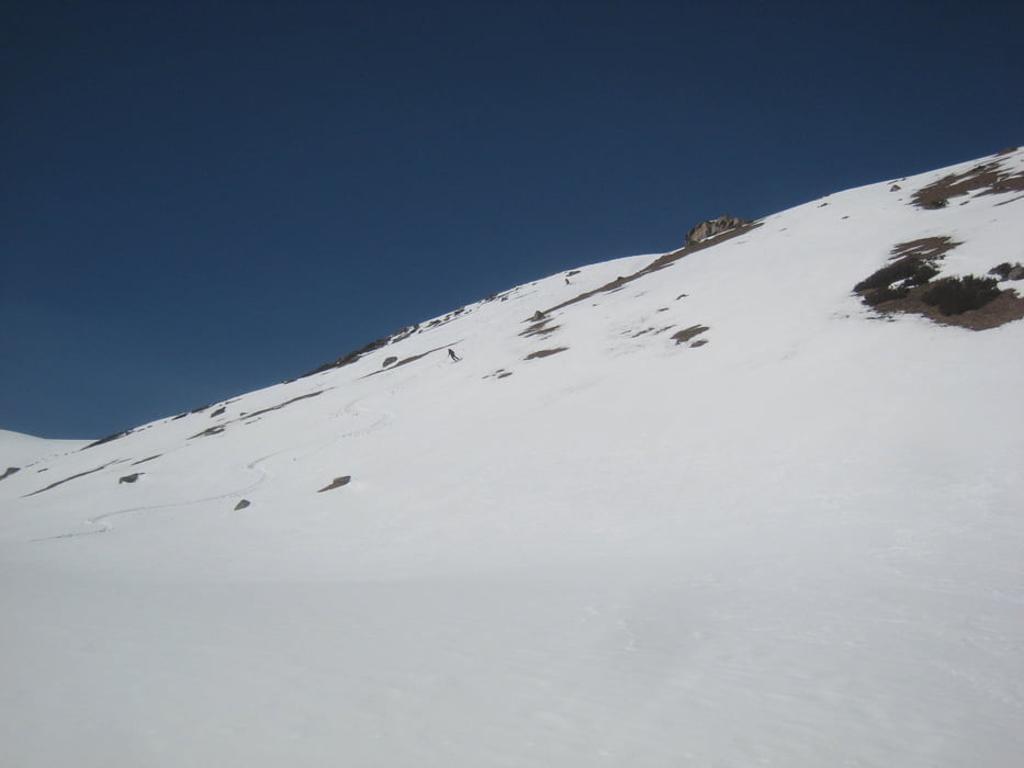
Vom Jurtencamp zuerst wie bei Tour#167559, Kuughan ins westliche Tal bis zum kleinen Hügel im Tal. Hier nun leicht links haltend auf die offensichtliche Scharte. Alle anderen Varianten währen zu gefährlich gewesen, wenn auch die Hänge weiter links verlockend aussahen. Dann sehr abwechslungsreich mal uaf dem Kamm, mal leicht südlich davon nach Osten bis zum letzten Gipfel (3600 m). Von hier Abfahrt nach SO ins Tal und über das Tal in einer rinne durch die Waldstufe ins Ak-suu Tal. Flach zurück zu den Jurten.
Warnung: wir hatten im Internet von der Schwimmschneeproblematik in Kirgistan gelesen, aber gehofft dass dies Einzelfälle wären. Wir können nun bestätigen dass die Schneebrettgefahr wirklich extrem hoch ist! Beim Aufstieg auf den Pass ist umsichtige Routenwahl nötig. die Abfahrt war bei uns firnig und relativ sicher.
Tour gallery
Tour map and elevation profile
Minimum height 2637 m
Maximum height 3646 m
More about the tour author

|
Gi |
Comments

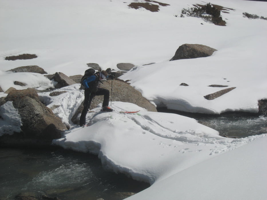
Von Karakol nach Aksuu ans Ortsende dem BAch entlang. Vonhier entweder mit skidoo, Pferden oder auf ski zu Fuß ins Jurtenlager auf 2650m Höhe
GPS tracks
Trackpoints-
GPX / Garmin Map Source (gpx) download
-
TCX / Garmin Training Center® (tcx) download
-
CRS / Garmin Training Center® (crs) download
-
Google Earth (kml) download
-
G7ToWin (g7t) download
-
TTQV (trk) download
-
Overlay (ovl) download
-
Fugawi (txt) download
-
Kompass (DAV) Track (tk) download
-
Track data sheet (pdf) download
-
Original file of the author (gpx) download
More about the tour author
|
|
Gi |
Add to my favorites
Remove from my favorites
Edit tags
Open track
My score
Rate