Login

Forgot your login?

Cookies have to be accepted!
Your browser's cookie functionality is disabled. Please enable this functionality.

Not a member yet?

Register now
Login

Available for registred users only

Log in to use this feature.

Forgot your login?

Cookies have to be accepted!
Your browser's cookie functionality is disabled. Please enable this functionality.

Not a member yet?

Register now
Filter
Categories
Advanced filters
  • Distance (km)
  • Height
Save filters Reset filter

TrackRank

QRCode

Technical data

Distance14,5 km Height81 m Way down837 m Duration00:00 h:m Date23.03.2016
Scores Author Landscape Fun factor Fitness Technique

Statistics

160 Views Scores 13 Downloads Average
Rate
  • Track data sheet
  • Directions
  • Downloads
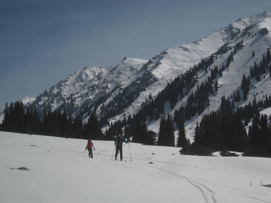
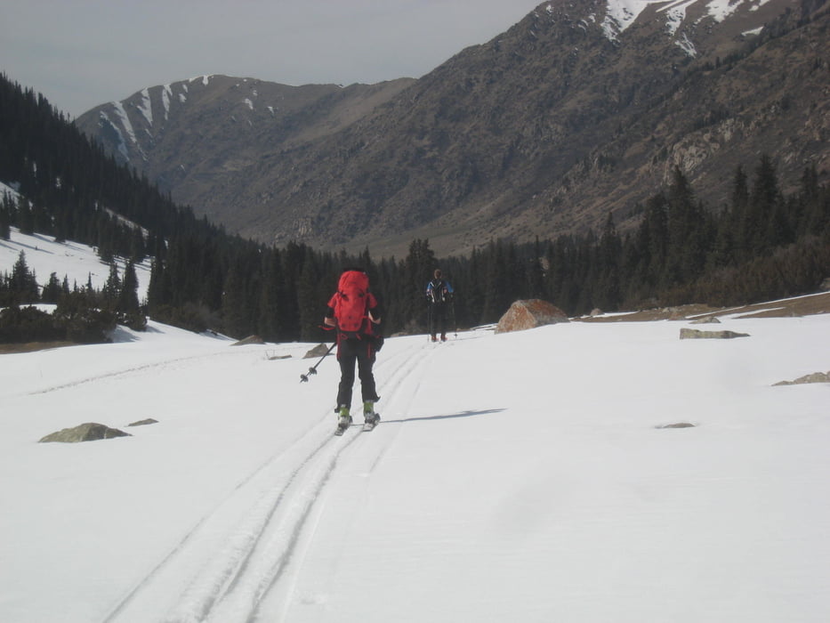
Hinauf sind wir geritten, hinab dann soweit möglich mit Ski, danach vielleicht noch eine knappe halbe Stunde getragen. Vom Ortsende Ak-Suu (hier auch Pferdverleih) zuerst über einen Rücken, dann dam Ak-Suu Bach entlang. Zuerst westseitig, dann ostseitig.

Tour gallery

Tour map and elevation profile

  • Open Street Map
  • Google
Minimum height 1868 m Maximum height 2666 m Detailed view

More about the tour author

Gi
Member since 2010

Send private message

Comments

Von Karakol bis Ak-Suu, dort dem Bach entlang bis zum letzten Haus fahren

GPS tracks

Trackpoints
  • GPX / Garmin Map Source (gpx) download
  • TCX / Garmin Training Center® (tcx) download
  • CRS / Garmin Training Center® (crs) download
  • Google Earth (kml) download
  • G7ToWin (g7t) download
  • TTQV (trk) download
  • Overlay (ovl) download
  • Fugawi (txt) download
  • Kompass (DAV) Track (tk) download
  • Track data sheet (pdf) download
  • Original file of the author (gpx) download

More about the tour author

Gi
Member since 2010

Send private message
Share track
Add to my favorites
Remove from my favorites
Edit tags
My score
Rate
Track: Ak-Suu Jurten
Type: Ski touring
Distance: 14,5 km
Evaluated on:
Duration:
Day(s)
Hour(s)
Minute(s)
Score: Landscape Fun factor Fitness Technique