


Puchberg-Hengsthütte-Ternitzer Hütte-Alpleck-Halter Hütte-
Waldburgangerhütte-Reichenau-Speckbacher Hütte-
Breitenstein-Semmering-Breitenstein-Gloggnitz
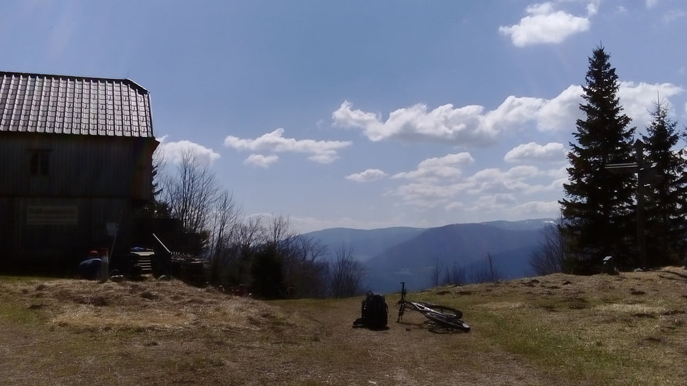
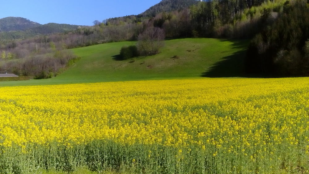
Bis zur Hengsthütte parallel zur Schneebergbahn ziemlich steil bergan. Nach der Ternitzer Hütte tauchen die ersten Schneefelder auf, die jedoch ganz gut zu queren sind. Richtung Speckbacher Hütte hab ich einen schönen Wiesenweg erwischt, der mir jedoch etwas zu steil ist - ca. 300 hm Schiebung, ungefähr halbe Stunde. Von Breitenstein runter nach Gloggnitz bin ich der Landesstraße entlang. Mit dem Zug zurück nach Wien.
Bis zur Hengsthütte parallel zur Schneebergbahn ziemlich steil bergan. Nach der Ternitzer Hütte tauchen die ersten Schneefelder auf, die jedoch ganz gut zu queren sind. Richtung Speckbacher Hütte hab ich einen schönen Wiesenweg erwischt, der mir jedoch etwas zu steil ist - ca. 300 hm Schiebung, ungefähr halbe Stunde. Von Breitenstein runter nach Gloggnitz bin ich der Landesstraße entlang. Mit dem Zug zurück nach Wien.
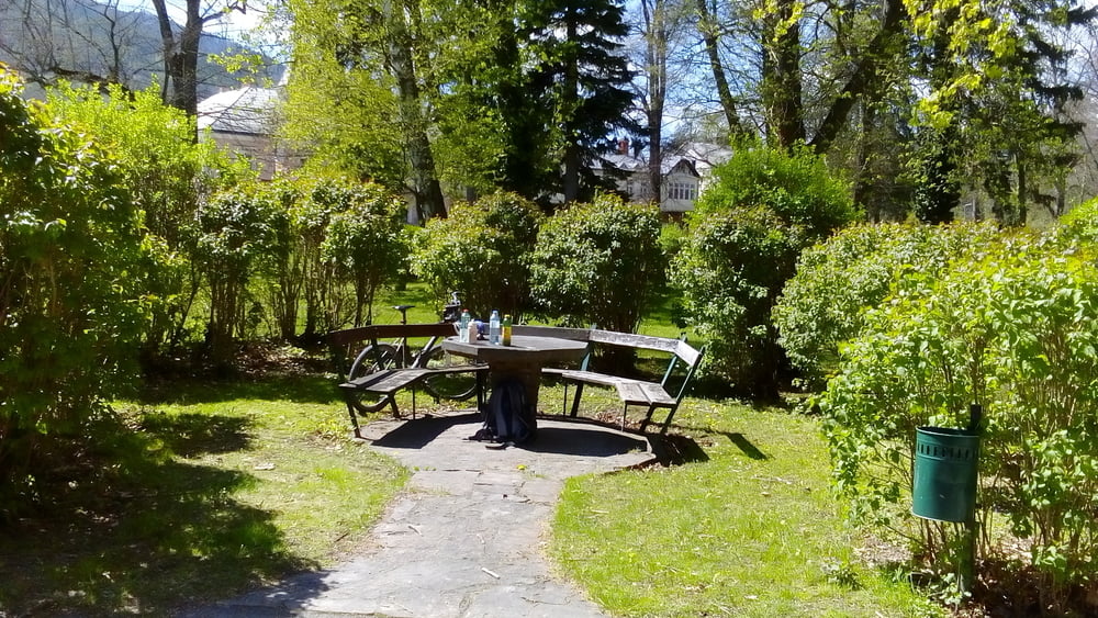
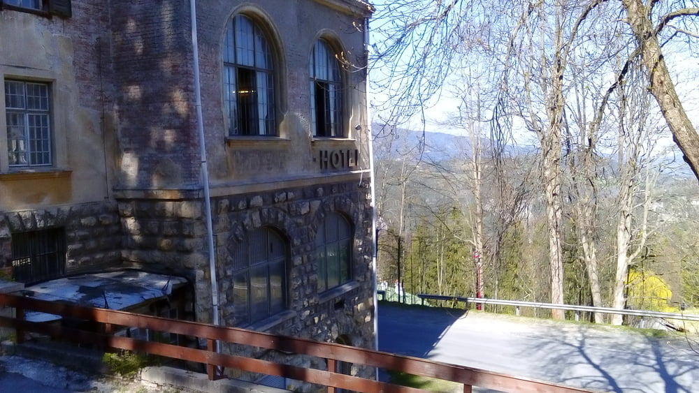
Tour gallery
Tour map and elevation profile
Minimum height 452 m
Maximum height 1278 m
More about the tour author
|
|
mitter |
Comments

Start in Puchberg beim Gasthof Hausmann.
GPS tracks
Trackpoints-
GPX / Garmin Map Source (gpx) download
-
TCX / Garmin Training Center® (tcx) download
-
CRS / Garmin Training Center® (crs) download
-
Google Earth (kml) download
-
G7ToWin (g7t) download
-
TTQV (trk) download
-
Overlay (ovl) download
-
Fugawi (txt) download
-
Kompass (DAV) Track (tk) download
-
Track data sheet (pdf) download
-
Original file of the author (gpx) download
More about the tour author
|
|
mitter |
Add to my favorites
Remove from my favorites
Edit tags
Open track
My score
Rate