Login

Forgot your login?

Cookies have to be accepted!
Your browser's cookie functionality is disabled. Please enable this functionality.

Not a member yet?

Register now
Login

Available for registred users only

Log in to use this feature.

Forgot your login?

Cookies have to be accepted!
Your browser's cookie functionality is disabled. Please enable this functionality.

Not a member yet?

Register now
Filter
Categories
Advanced filters
  • Distance (km)
  • Height
Save filters Reset filter

TrackRank

QRCode

Technical data

Distance46,3 km Height346 m Way down342 m Duration03:30 h:m Date22.04.2019
Scores Author Landscape Fun factor Fitness Technique

Statistics

127 Views Scores 10 Downloads Average
Rate
  • Track data sheet
  • Directions
  • Downloads
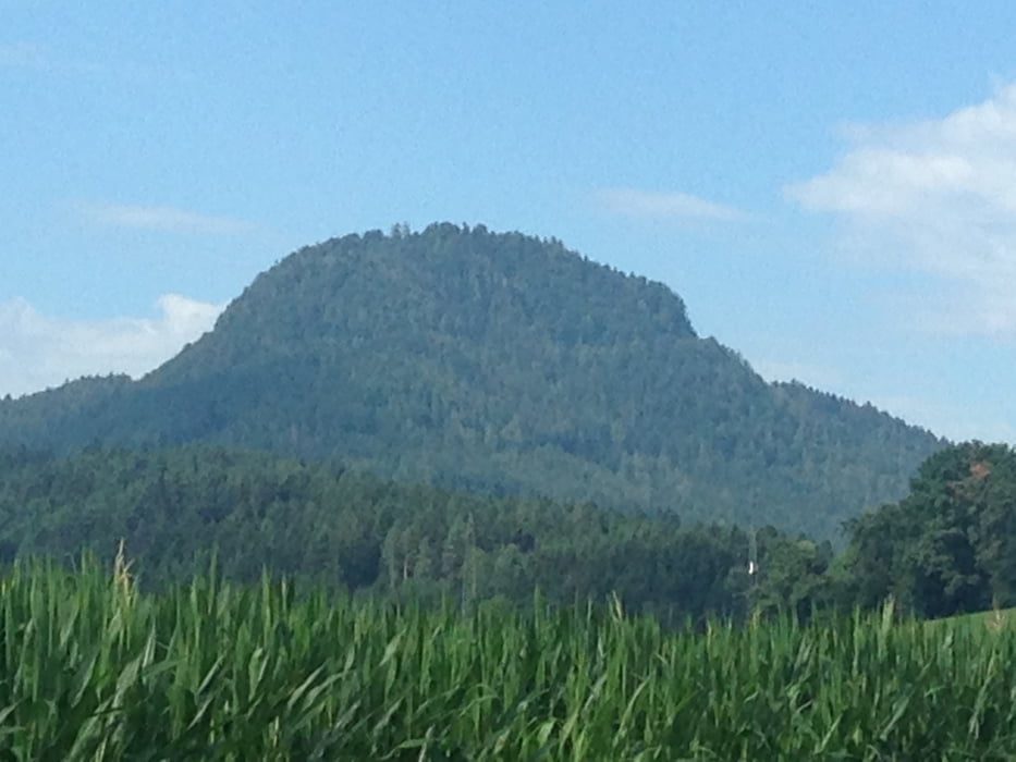
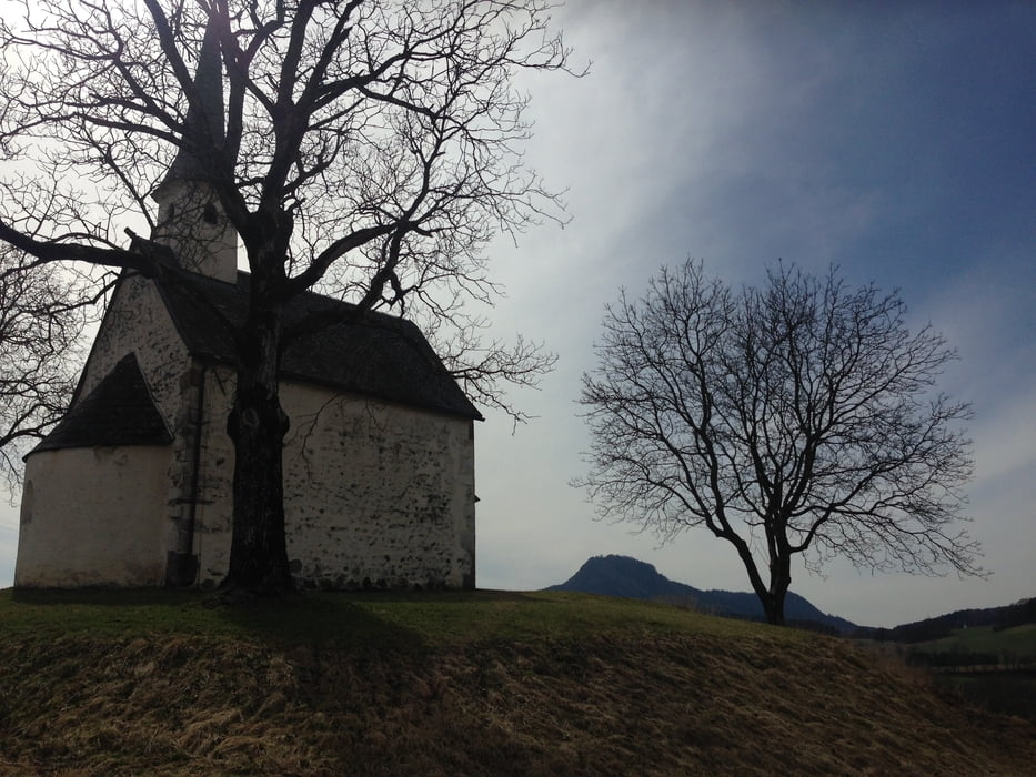
Von Klagenfurt Rotkreuzzentrum R7 der Glan entlang nach Norden bis Poppichl - über die Glan - Wrießnitz, Stegendorf, St. Peter am Bichl, Karnberg, Projern, Hörzendorfer See, Muraunberg, St. Veit, Kaffeepause im Cafe Holzmann am Hauptplatz. Rückweg über den R7 entlang der Glan.

Tour gallery

Tour map and elevation profile

  • Open Street Map
  • Google
Minimum height 447 m Maximum height 653 m Detailed view

More about the tour author

walderich
Member since 2012

Send private message

Comments

GPS tracks

Trackpoints
  • GPX / Garmin Map Source (gpx) download
  • TCX / Garmin Training Center® (tcx) download
  • CRS / Garmin Training Center® (crs) download
  • Google Earth (kml) download
  • G7ToWin (g7t) download
  • TTQV (trk) download
  • Overlay (ovl) download
  • Fugawi (txt) download
  • Kompass (DAV) Track (tk) download
  • Track data sheet (pdf) download
  • Original file of the author (gpx) download

More about the tour author

walderich
Member since 2012

Send private message
Share track
Add to my favorites
Remove from my favorites
Edit tags
My score
Rate
Track: Ulrichsberg_Muraunberg_Rundtour
Type: Trekkingbike
Distance: 46,3 km
Evaluated on:
Duration:
Day(s)
Hour(s)
Minute(s)
Score: Landscape Fun factor Fitness Technique