Login

Forgot your login?

Cookies have to be accepted!
Your browser's cookie functionality is disabled. Please enable this functionality.

Not a member yet?

Register now
Login

Available for registred users only

Log in to use this feature.

Forgot your login?

Cookies have to be accepted!
Your browser's cookie functionality is disabled. Please enable this functionality.

Not a member yet?

Register now
Filter
Categories
Advanced filters
  • Distance (km)
  • Height
Save filters Reset filter

TrackRank

QRCode

Technical data

Distance81,4 km Height511 m Way down491 m Duration03:00 h:m Date22.04.2019
Scores Author Landscape Fun factor Fitness Technique

Statistics

508 Views Scores 176 Downloads Average
Rate
  • Track data sheet
  • Directions
  • Downloads

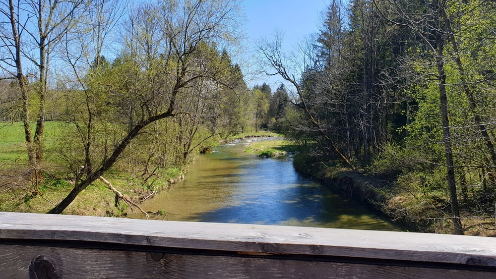
Diese sehr schöne Tour startet in Ottobrunn (Parkplatz am Friedhof) oder S-Bahn Haltestelle Ottobrunn und geht über Brunntal, Hofolding, Kreuzstraße und Weyern (mit kleinen knackigen Anstieg) Richtung Seehamer See. Nach kreuzen der Autobahn gehts entlang der Leitzach durchs Goldene Tal. An deren Ende gibts eine 17% Rampe und wir starten den Rückweg mit leichten Gefälle Richtung Ottobrunn. Kurz vor Schluss, an der großen Kreuzung warten noch eine Eisdiele :-)

Die Strecke verläuft haupsächlich auf kleinen Straßen mit wenig Verkehr oder auf Radwegen.

Ich wünsche euch viel Spass bei der Tour!

Tour map and elevation profile

  • Open Street Map
  • Google
Minimum height 548 m Maximum height 683 m Detailed view

More about the tour author

stefanlos
Member since 2008

Send private message

Comments

Autobahnausfahrt Unterhaching Ost, dann Richtung Ottobrunn und an der ersten großen Kreuzung Rechts abbiegen. Parkplatz nach ca. 500m

Öffentlich: Die S-Bahn Haltestelle Ottobrunn ist von München aus die beste Option

GPS tracks

Trackpoints
  • GPX / Garmin Map Source (gpx) download
  • TCX / Garmin Training Center® (tcx) download
  • CRS / Garmin Training Center® (crs) download
  • Google Earth (kml) download
  • G7ToWin (g7t) download
  • TTQV (trk) download
  • Overlay (ovl) download
  • Fugawi (txt) download
  • Kompass (DAV) Track (tk) download
  • Track data sheet (pdf) download
  • Original file of the author (gpx) download

More about the tour author

stefanlos
Member since 2008

Send private message
Share track
Add to my favorites
Remove from my favorites
Edit tags
My score
Rate
Track: Goldenes Tal
Type: Road biking
Distance: 81,4 km
Evaluated on:
Duration:
Day(s)
Hour(s)
Minute(s)
Score: Landscape Fun factor Fitness Technique