


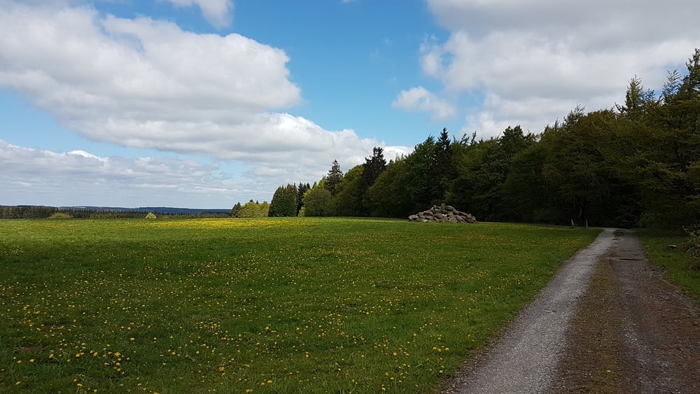
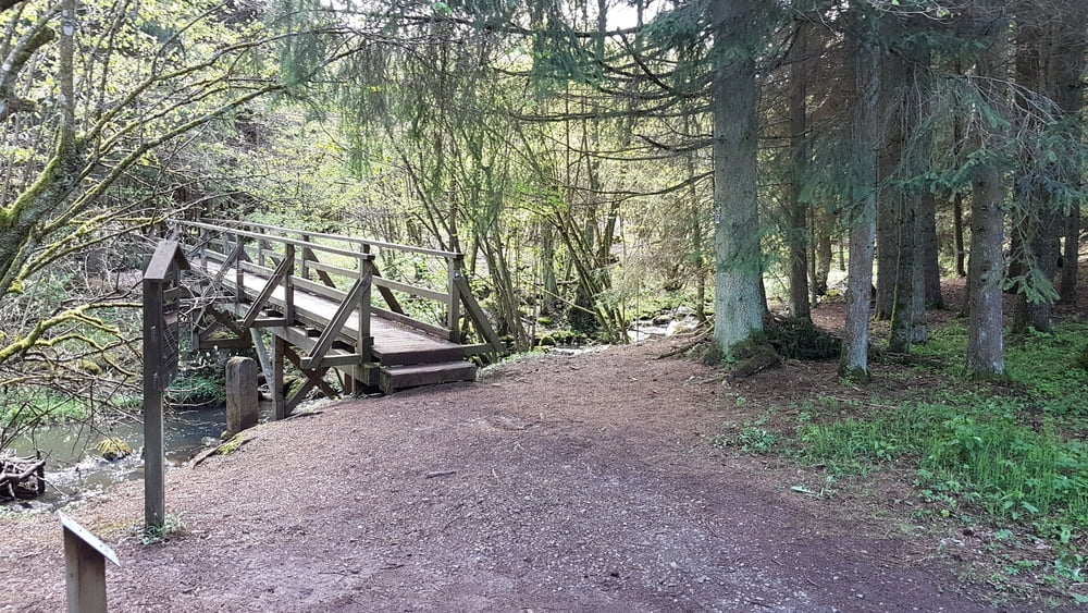
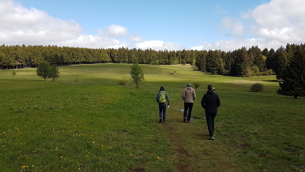
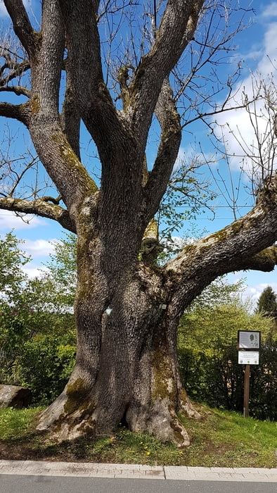
Die Fuchskaute ist ein erloschener Vulkan und mit 657 üN der höchste Berg des Westerwaldes. Unsere Tour führt vom Parkplatz "Fuchskaute - Restaurant und Lodge" in abwechselungsreicher schöner Hügellandschaft bis zum Drei-Länder-Eck ( Rheinland-Pfalz, Nordrhein-Westfalen und Hessen) über den Ketzerstein zurück zum Ausgangspunkt.
Further information at
https://de.wikipedia.org/wiki/FuchskauteTour gallery
Tour map and elevation profile
Minimum height 536 m
Maximum height 653 m
More about the tour author
|
|
riemchens |
Comments

Von Herborn über die B255 und weiter geradeaus über die die B414 bis hinter Waldaubach. Dann rechts ab dem Wegweiser "Fuchkaute" folgend bis zum Parkplatz.
GPS tracks
Trackpoints-
GPX / Garmin Map Source (gpx) download
-
TCX / Garmin Training Center® (tcx) download
-
CRS / Garmin Training Center® (crs) download
-
Google Earth (kml) download
-
G7ToWin (g7t) download
-
TTQV (trk) download
-
Overlay (ovl) download
-
Fugawi (txt) download
-
Kompass (DAV) Track (tk) download
-
Track data sheet (pdf) download
-
Original file of the author (gpx) download
More about the tour author
|
|
riemchens |
Add to my favorites
Remove from my favorites
Edit tags
Open track
My score
Rate