


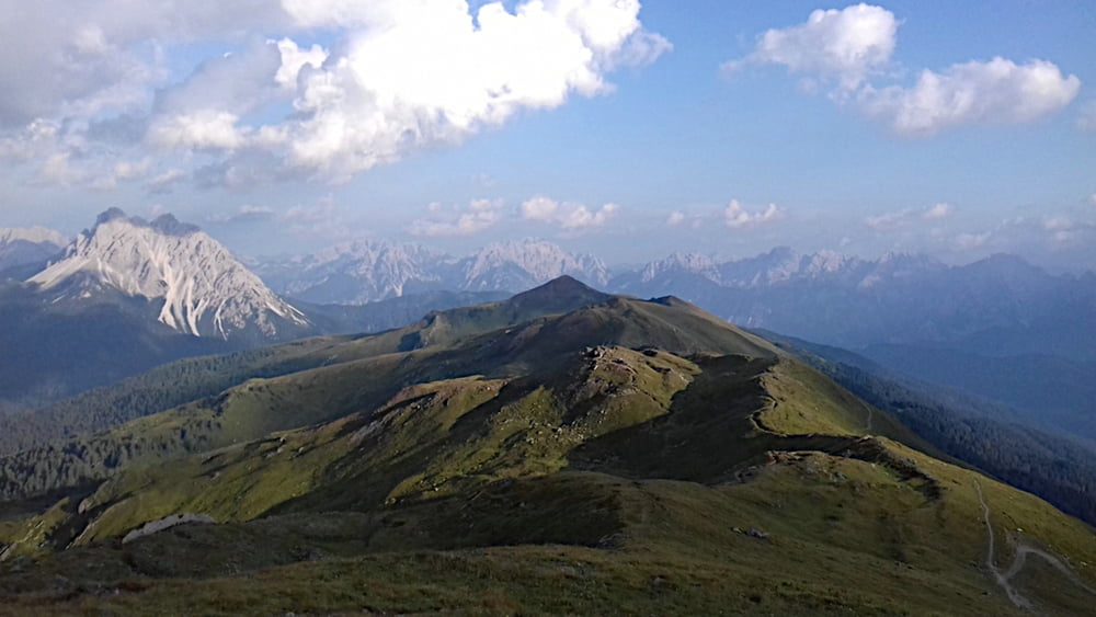
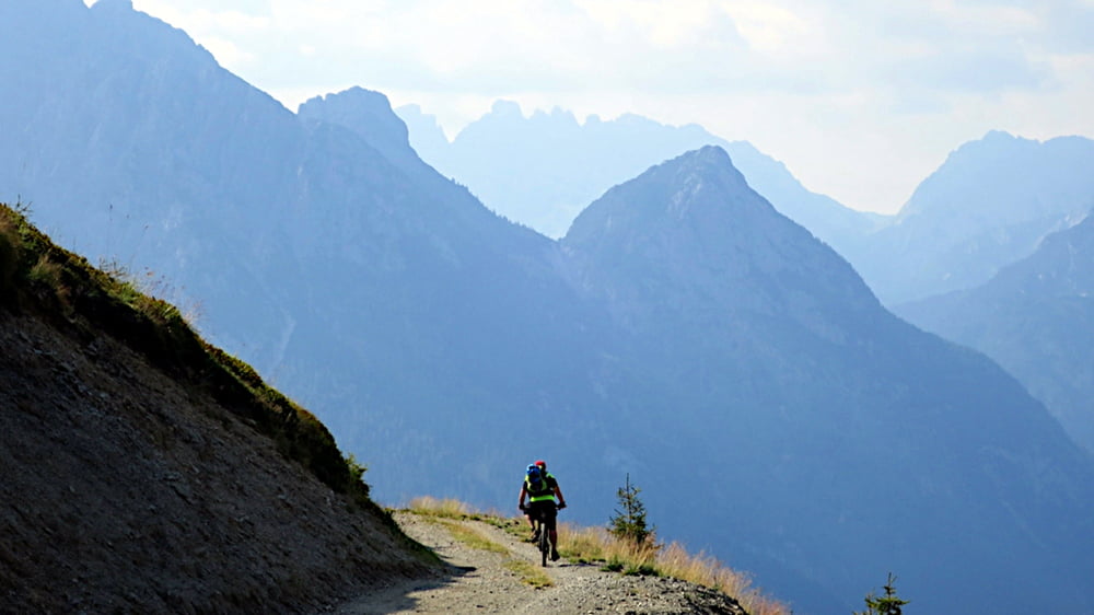
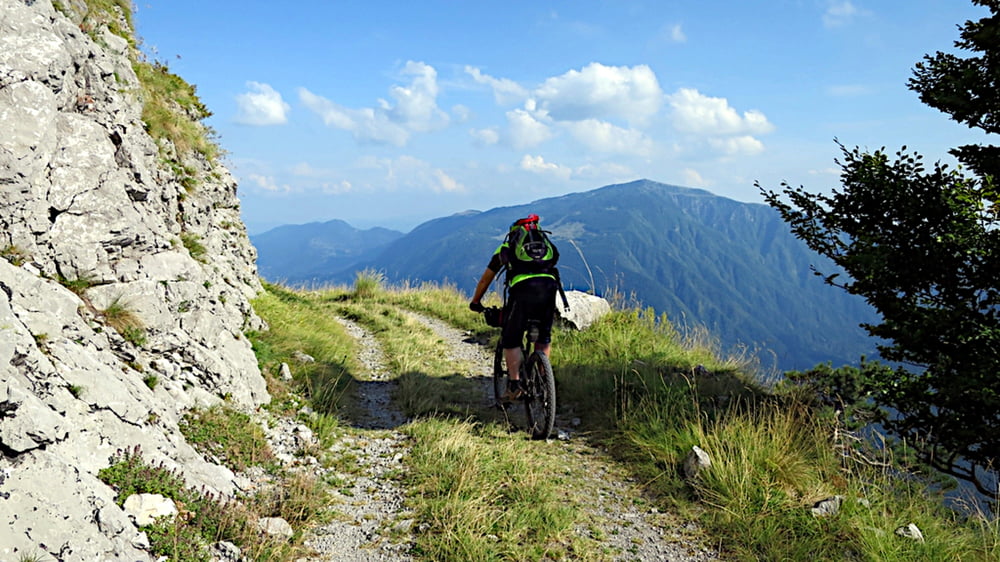
Die Idee war: eine Tour fahren, bei der man ohne Probleme mit dem Zug wieder zurück zum Auto kommt. Auf der Karte springt mir die Bahnverbindung Brunneck – Villach und die dazu parallel verlaufenden Täler Lesachtal und Gailtal direkt ins Auge.
Das Karnische Gebirge hat einen guten Klang, und außerdem wird seit einiger Zeit immer von Slowenien gesprochen. Und ich war ja schon vor Jahren einmal im Soca Tal. Das könnten wir doch noch mit einem Schlenker mitnehmen bevor wir in Österreich wieder in den Zug steigen.
Eine genaue Beschreibung gibts auf meiner Seite
Further information at
http://benignus.de/mountainbike/transalp-durch-die-karnischen-alpen-ins-soca-talTour gallery
Tour map and elevation profile
Minimum height 215 m
Maximum height 2562 m
More about the tour author
|
|
Nachtfarben |
Comments

Die Tour startet in Toblach, Italien
GPS tracks
Trackpoints-
GPX / Garmin Map Source (gpx) download
-
TCX / Garmin Training Center® (tcx) download
-
CRS / Garmin Training Center® (crs) download
-
Google Earth (kml) download
-
G7ToWin (g7t) download
-
TTQV (trk) download
-
Overlay (ovl) download
-
Fugawi (txt) download
-
Kompass (DAV) Track (tk) download
-
Track data sheet (pdf) download
-
Original file of the author (gpx) download
More about the tour author
|
|
Nachtfarben |
Add to my favorites
Remove from my favorites
Edit tags
Open track
My score
Rate