


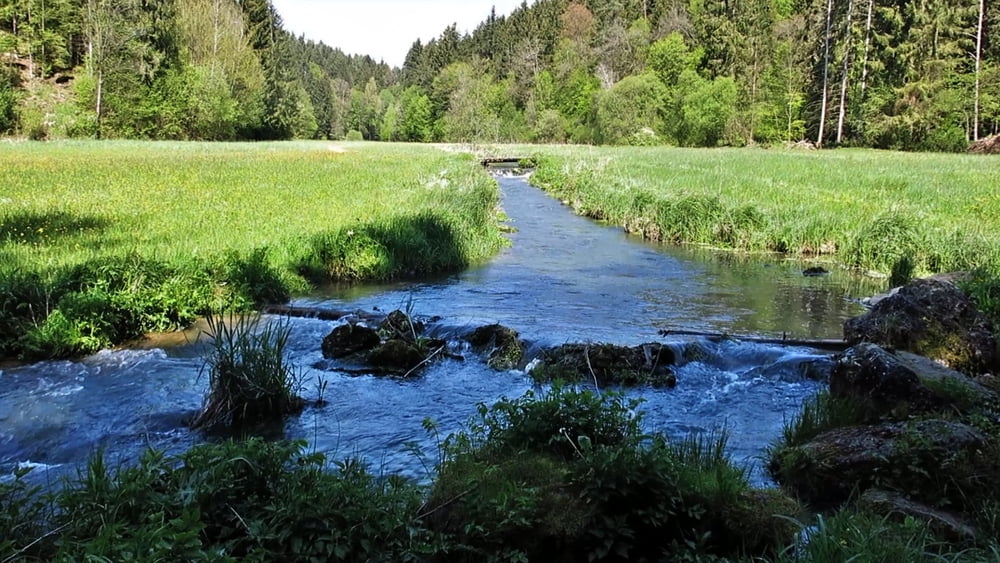
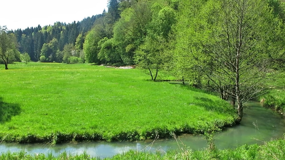
Vom Parkplatz geht es direkt nach Norden durch das Tal nach Wüstenstein. Nach Brücke bei der Rechtskurve im unteren Teil des Ortes geht es auf Pfad links kräftig aufwärts; an Hauptstraße 2 x links, an Kirche vorbei; an scharfer Linkskurve geradeaus auf Pfad weiter über die Höhe. An Abzweig im Wald links abwärts zur Aufseß, über diese hinweg und nach rechts auf dem Herweg zurück.
Tour gallery

Tour map and elevation profile
Minimum height 370 m
Maximum height 432 m
More about the tour author
|
|
heinz-57 |
Comments
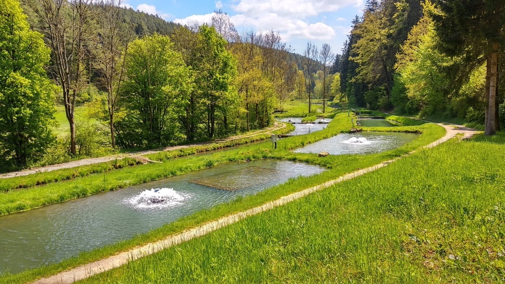
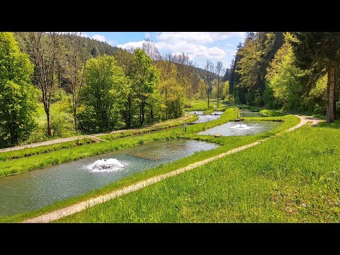
Auf der B470 von Forchheim kommend nach Muggendorf, nach Kirche links aufwärts Richtung Engelhardsberg, auf der Höhe links durch Albertshof nach Voigendorf. Im Ort rechts ab auf Sträßchen abwärts ins Aufseßtal. Nach Brücke Parkplatz.
GPS tracks
Trackpoints-
GPX / Garmin Map Source (gpx) download
-
TCX / Garmin Training Center® (tcx) download
-
CRS / Garmin Training Center® (crs) download
-
Google Earth (kml) download
-
G7ToWin (g7t) download
-
TTQV (trk) download
-
Overlay (ovl) download
-
Fugawi (txt) download
-
Kompass (DAV) Track (tk) download
-
Track data sheet (pdf) download
-
Original file of the author (gpx) download
More about the tour author
|
|
heinz-57 |
Add to my favorites
Remove from my favorites
Edit tags
Open track
My score
Rate
Nette Tour