Login

Forgot your login?

Cookies have to be accepted!
Your browser's cookie functionality is disabled. Please enable this functionality.

Not a member yet?

Register now
Login

Available for registred users only

Log in to use this feature.

Forgot your login?

Cookies have to be accepted!
Your browser's cookie functionality is disabled. Please enable this functionality.

Not a member yet?

Register now
Filter
Categories
Advanced filters
  • Distance (km)
  • Height
Save filters Reset filter

TrackRank

QRCode

Technical data

Distance10,7 km Height125 m Way down148 m Duration03:48 h:m Date30.04.2019
Scores Author Landscape Fun factor Fitness Technique

Statistics

1005 Views Scores 23 Downloads Average
Rate
  • Track data sheet
  • Directions
  • Downloads

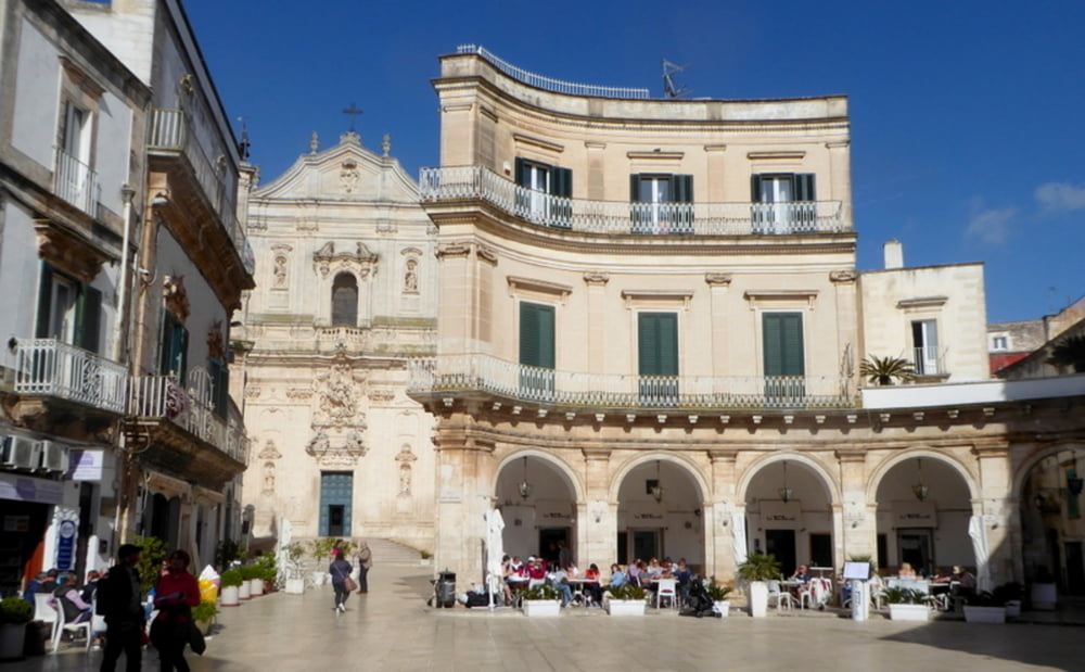
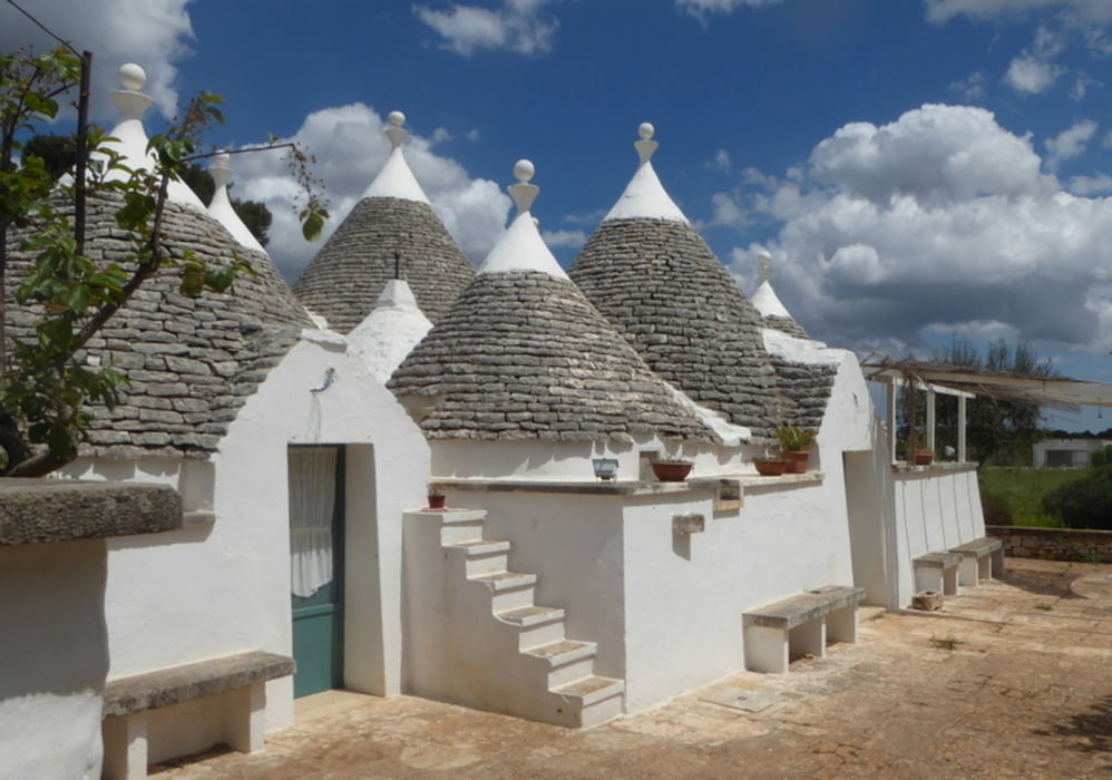
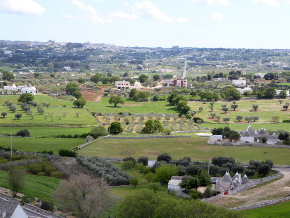
Von Martina Franca wandern wir durch das Valle d'tria vorbei an Trulli nach

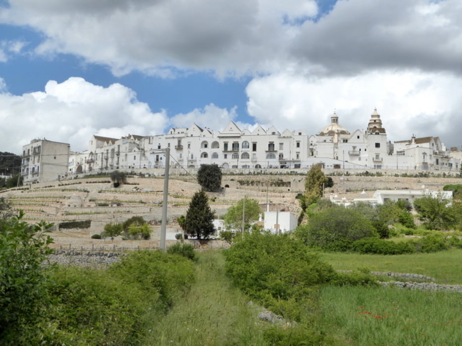
Locorotondo, einem der schönsten Orte Italiens (I borghi più belli d’Italia)

Further information at

https://de.wikipedia.org/wiki/Locorotondo

Tour gallery

Tour map and elevation profile

  • Open Street Map
  • Google
Minimum height 350 m Maximum height 451 m Detailed view

More about the tour author

horst1508
Member since 2012

Send private message

Comments

GPS tracks

Trackpoints
  • GPX / Garmin Map Source (gpx) download
  • TCX / Garmin Training Center® (tcx) download
  • CRS / Garmin Training Center® (crs) download
  • Google Earth (kml) download
  • G7ToWin (g7t) download
  • TTQV (trk) download
  • Overlay (ovl) download
  • Fugawi (txt) download
  • Kompass (DAV) Track (tk) download
  • Track data sheet (pdf) download
  • Original file of the author (gpx) download

More about the tour author

horst1508
Member since 2012

Send private message
Share track
Add to my favorites
Remove from my favorites
Edit tags
My score
Rate
Track: Von Martina Franca durch das Valle d'Itria nach Locorotondo
Type: Hiking
Distance: 10,7 km
Evaluated on:
Duration:
Day(s)
Hour(s)
Minute(s)
Score: Landscape Fun factor Fitness Technique