


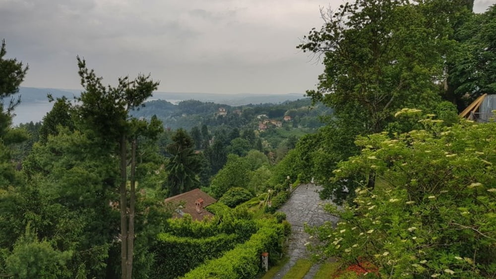
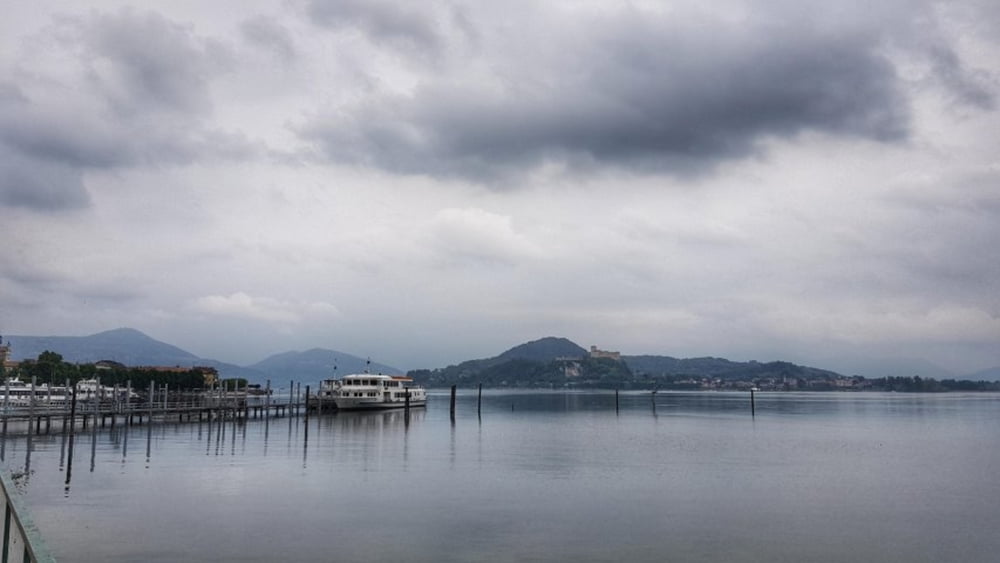
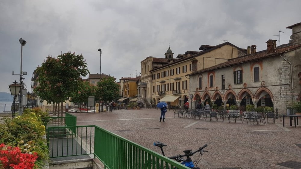
Heute leichter Regen, deswegen wollten wir uns nur mal Arona anschauen. Das war aber schnell gemacht, also schauen wir uns die Statue San Carlo auch noch an. Die war aber wegen des Wetters geschlossen. Nun waren wir schon hier oben, da haben wir uns entschlossen die Runde doch noch zu fahren. Allerdings entgegen der geplanten Richtung. Hat aber alles so weit funktioniert. Zum Schluß noch einen Platten bekommen, bin aber mit mehrmals Nachpumpen noch zum Camping ohne Schlauchwechsel gekommen. #noebike
Tour gallery

Tour map and elevation profile
Minimum height 154 m
Maximum height 351 m
More about the tour author
|
|
mh021255 |
Comments

GPS tracks
Trackpoints-
GPX / Garmin Map Source (gpx) download
-
TCX / Garmin Training Center® (tcx) download
-
CRS / Garmin Training Center® (crs) download
-
Google Earth (kml) download
-
G7ToWin (g7t) download
-
TTQV (trk) download
-
Overlay (ovl) download
-
Fugawi (txt) download
-
Kompass (DAV) Track (tk) download
-
Track data sheet (pdf) download
-
Original file of the author (gpx) download
More about the tour author
|
|
mh021255 |
Add to my favorites
Remove from my favorites
Edit tags
Open track
My score
Rate