


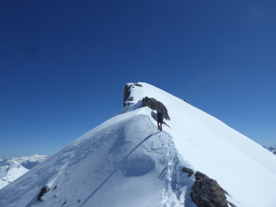
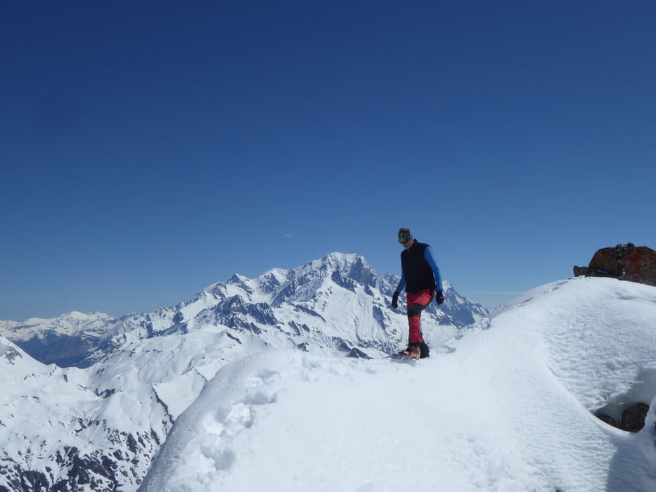
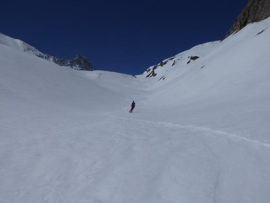
Klassische Skitour mit interessantem Schlussanstieg.
Bis zur Sperre der Roselend Passstraße; wenn möglich bis zum Scheitelpunkt. Zuerst über sanftes Skitourengelände und dann nach Osten abbiegend immer Steiler zum Gipfelgrad. Über den Grad zum höchsten Punkt. Bei sicheren Verhältnissen sollten die Ski mit genommen werden, da eine Einfahrt in den Osthang vom Vorgipfel aus möglich ist. Über das benachbarte Tal zur Passhöhe. Der Gegenanstieg beträgt etwa 100 hm.
Tour gallery
Tour map and elevation profile
Minimum height 1581 m
Maximum height 2922 m
More about the tour author

|
Klaus112 |
Comments

Von Albertville nach Beaufort und zur Roselend Passhöhe. Je nach Zeit bis zur Sperre der Passstraße oder zur Passhöhe.
GPS tracks
Trackpoints-
GPX / Garmin Map Source (gpx) download
-
TCX / Garmin Training Center® (tcx) download
-
CRS / Garmin Training Center® (crs) download
-
Google Earth (kml) download
-
G7ToWin (g7t) download
-
TTQV (trk) download
-
Overlay (ovl) download
-
Fugawi (txt) download
-
Kompass (DAV) Track (tk) download
-
Track data sheet (pdf) download
-
Original file of the author (gpx) download
More about the tour author
|
|
Klaus112 |
Add to my favorites
Remove from my favorites
Edit tags
Open track
My score
Rate