Login

Forgot your login?

Cookies have to be accepted!
Your browser's cookie functionality is disabled. Please enable this functionality.

Not a member yet?

Register now
Login

Available for registred users only

Log in to use this feature.

Forgot your login?

Cookies have to be accepted!
Your browser's cookie functionality is disabled. Please enable this functionality.

Not a member yet?

Register now
Filter
Categories
Advanced filters
  • Distance (km)
  • Height
Save filters Reset filter

TrackRank

QRCode

Technical data

Distance13,8 km Height1352 m Way down1359 m Duration04:00 h:m Date16.05.2019
Scores Author Landscape Fun factor Fitness Technique

Statistics

264 Views Scores 15 Downloads Average
Rate
  • Track data sheet
  • Directions
  • Downloads

Nach Einstellung des Liftbetriebs von Areches ruhiges Skitourenziel mit super Aussicht.

Aufstieg über die Piste von Le Planey aus und dem Höhenrücken bis zum Gipfel. Alternative Abfahrt, die sichere Schneeverhältnisse benötigt.
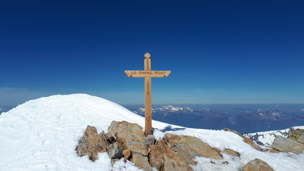
Tour gallery

Tour map and elevation profile

  • Open Street Map
  • Google
Minimum height 1308 m Maximum height 2690 m Detailed view

More about the tour author

Klaus112
Member since 2011

Send private message

Comments

Von Alterville nach Beaufort, Areches nach Le Planey.

GPS tracks

Trackpoints
  • GPX / Garmin Map Source (gpx) download
  • TCX / Garmin Training Center® (tcx) download
  • CRS / Garmin Training Center® (crs) download
  • Google Earth (kml) download
  • G7ToWin (g7t) download
  • TTQV (trk) download
  • Overlay (ovl) download
  • Fugawi (txt) download
  • Kompass (DAV) Track (tk) download
  • Track data sheet (pdf) download
  • Original file of the author (gpx) download

More about the tour author

Klaus112
Member since 2011

Send private message
Share track
Add to my favorites
Remove from my favorites
Edit tags
My score
Rate
Track: le Grand Mont
Type: Ski touring
Distance: 13,8 km
Evaluated on:
Duration:
Day(s)
Hour(s)
Minute(s)
Score: Landscape Fun factor Fitness Technique