


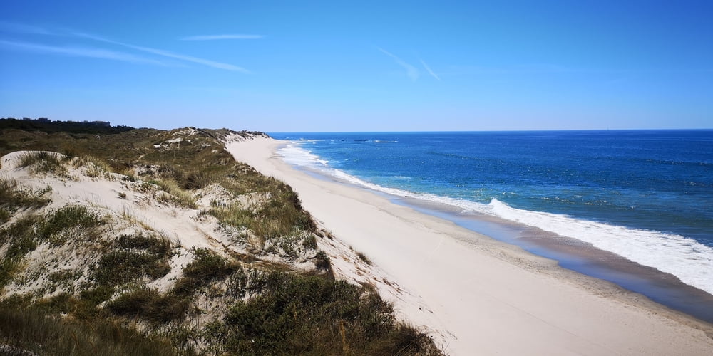
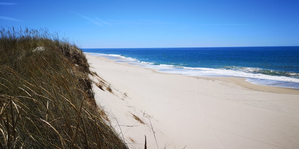
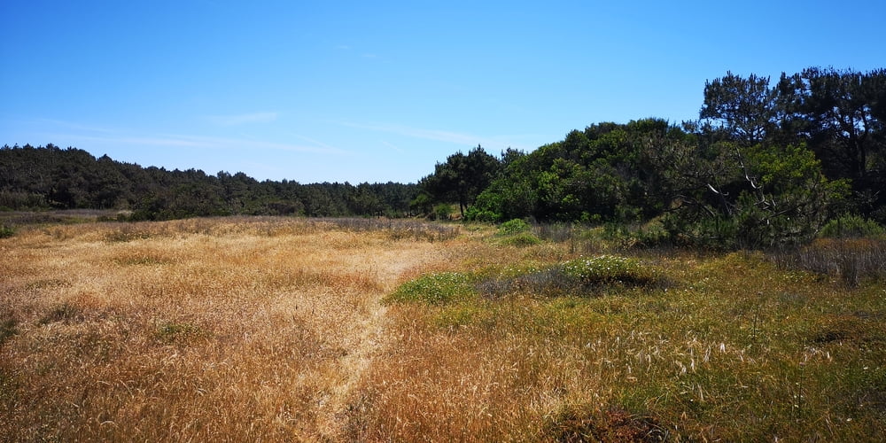
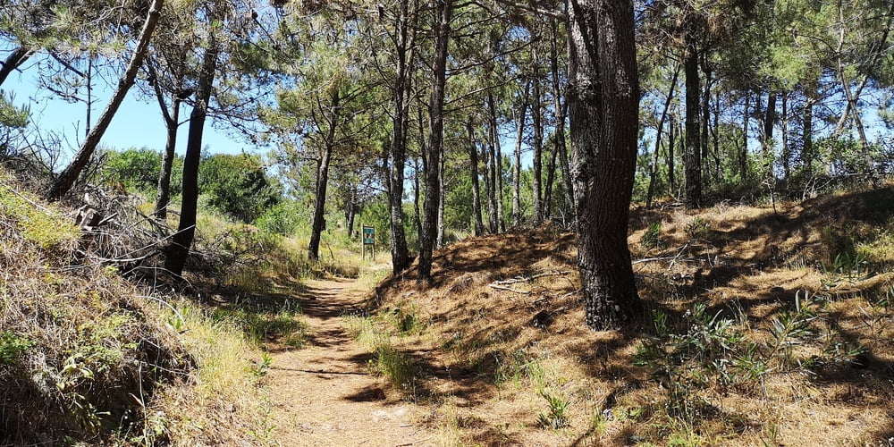
Der Weg verbindet die Strände von Amorosa mit den von Rodanho. Der Weg geht durch die Dünen und deshalb ist der Untergrund häufig sandig. Das macht das Laufen anstrengend. Schatten gibt es keinen. Der Weg ist teilweise mit Stegen ausgestattet die aber weiter weg von den Ständen nicht mehr ganz in Ordnung sind. Der Rückweg ist weiter vom Strand entfernt. Der Untergrund ist fester und es geht auch mal durch einen Pinienwald.
Tour gallery
Tour map and elevation profile
Minimum height -41 m
Maximum height 50 m
More about the tour author
|
|
JoachimDief |
Comments

Öffentlicher Parkplatz am Strand von Amorosa
GPS tracks
Trackpoints-
GPX / Garmin Map Source (gpx) download
-
TCX / Garmin Training Center® (tcx) download
-
CRS / Garmin Training Center® (crs) download
-
Google Earth (kml) download
-
G7ToWin (g7t) download
-
TTQV (trk) download
-
Overlay (ovl) download
-
Fugawi (txt) download
-
Kompass (DAV) Track (tk) download
-
Track data sheet (pdf) download
-
Original file of the author (gpx) download
More about the tour author
|
|
JoachimDief |
Add to my favorites
Remove from my favorites
Edit tags
Open track
My score
Rate