


Starte meine Tour wieder in Steyr.
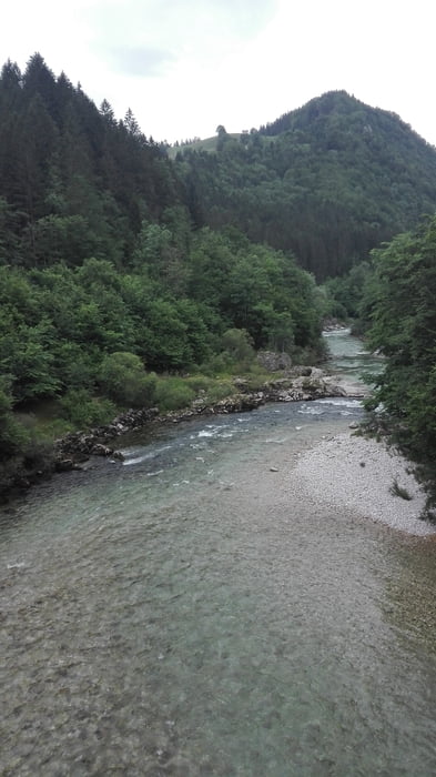
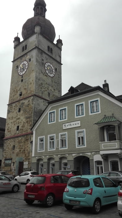
Am Enntalradweg entlang bis Weyer. Dort in der Ortsmitte rechst Richtung Hollenstein abbiegen. Über den Saurüssel zum schönen Ybbstal. Diesen Fluß folge wir bis Waidhofen. Hat einen historische Ortskerne diese Stadt und gemütliche Lokale. Da bittet sich eine Rast an. Danach gehts kurz Richtung Weyer, bald nehmen wir die Abzweigung Richtung Maria Neustift. Von da an geht´s 8km bergauf. Eine wunderbare Abfahrt folgt, bevor es nach Neustift wieder 2 km bergauf geht. Nun bis Kleinraming immer bergab. Dort biegen wir links Richtung St. Ulrich ab. Noch ein Anstieg und dann runter nach Steyr.
Tour gallery
Tour map and elevation profile
Minimum height 295 m
Maximum height 691 m
More about the tour author
|
|
Ritchy3 |
Comments

Der Billa Parkplatz an der Werndlstr. ist immer ein guter Ausgangpunkt ins Ennstal.
GPS tracks
Trackpoints-
GPX / Garmin Map Source (gpx) download
-
TCX / Garmin Training Center® (tcx) download
-
CRS / Garmin Training Center® (crs) download
-
Google Earth (kml) download
-
G7ToWin (g7t) download
-
TTQV (trk) download
-
Overlay (ovl) download
-
Fugawi (txt) download
-
Kompass (DAV) Track (tk) download
-
Track data sheet (pdf) download
-
Original file of the author (gpx) download
More about the tour author
|
|
Ritchy3 |
Add to my favorites
Remove from my favorites
Edit tags
Open track
My score
Rate