


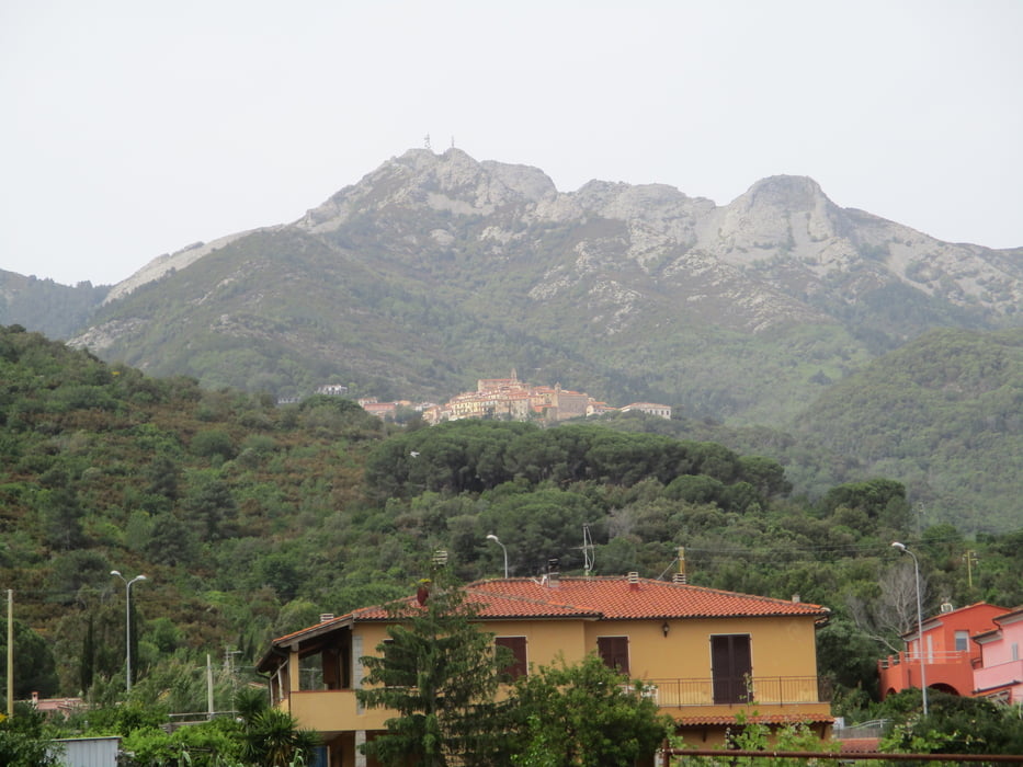
Vom Ortszentrum zur Via XX. Septembre und dann links in die Via Fornace hoch. Vor dem Ende links und es beginnt die Beschilderung 12. Auf dem Pfad hoch zu einer Zufahrtsstraße, dieser zum Ende folgen und dann auf dem Pfad weiter zur Einsiedelei Madonna Buonconsiglio. Der Straße weiter folgen zur Kapelle Santa Rita. In südöstlicher Richtung ohne nennenswerten Höhenunterschied und hinauf zur Pietra Acuta.
Hier trifft man auf die Trasse des Weitwanderweges GTE. Diesem folgen und über den Monte Castello hinunter zur SP 25. Auf dieser nach Procchio.
Rückfahrt am besten mit dem Bus.
Der GPS-Track am Beginn ist irreführend, da wir zuerst eine andere Route gesucht haben!
Tour gallery
Tour map and elevation profile
Minimum height -5 m
Maximum height 281 m
More about the tour author

|
JoHangler |
Comments

Von Portoferraio über die SP 24 nach Procchio und weiter über die SP 25 nach Marciana Marina. Parkmöglichkeit am Anfang des Ortes.
GPS tracks
Trackpoints-
GPX / Garmin Map Source (gpx) download
-
TCX / Garmin Training Center® (tcx) download
-
CRS / Garmin Training Center® (crs) download
-
Google Earth (kml) download
-
G7ToWin (g7t) download
-
TTQV (trk) download
-
Overlay (ovl) download
-
Fugawi (txt) download
-
Kompass (DAV) Track (tk) download
-
Track data sheet (pdf) download
-
Original file of the author (gpx) download
More about the tour author
|
|
JoHangler |
Add to my favorites
Remove from my favorites
Edit tags
Open track
My score
Rate