


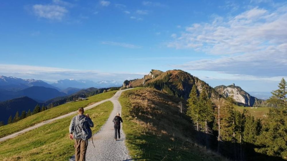
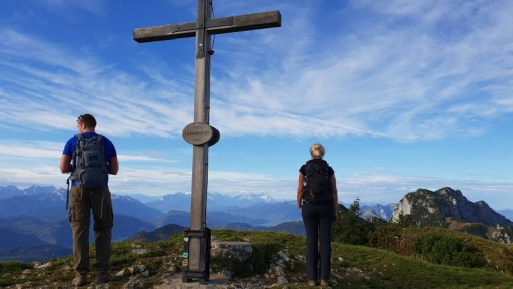
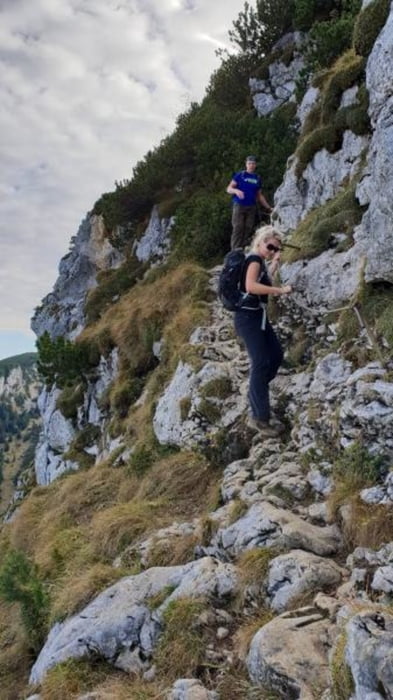
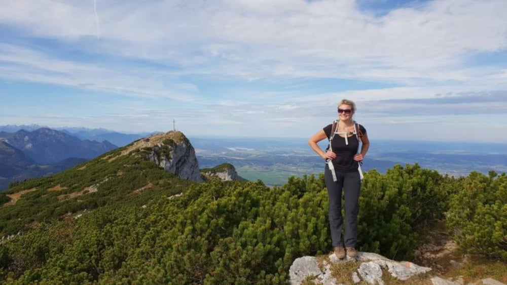
Höhenweg vom Brauneck zur Benediktenwand. Eine anspruchsvolle Bergwanderung durch das Revier des Steinbocks im Tölzer Land. Beginn unserer Bergwanderung ist die Talstation der Brauneck Bergseilbahn. Um Zeit zu sparen kann man die Seilbahn nach oben nehmen. Wer den Wanderweg zum Gipfel nimmt, benötigt für diese Bergtour ca. zwei Stunden mehr.
Further information at
https://m-mehle.de/hoehenweg-zur-benediktenwand/Tour gallery
Tour map and elevation profile
Minimum height 1330 m
Maximum height 1791 m
More about the tour author
|
|
mmehle |
Comments

Parken an der Brauneck - Talstation
GPS tracks
Trackpoints-
GPX / Garmin Map Source (gpx) download
-
TCX / Garmin Training Center® (tcx) download
-
CRS / Garmin Training Center® (crs) download
-
Google Earth (kml) download
-
G7ToWin (g7t) download
-
TTQV (trk) download
-
Overlay (ovl) download
-
Fugawi (txt) download
-
Kompass (DAV) Track (tk) download
-
Track data sheet (pdf) download
-
Original file of the author (gpx) download
More about the tour author
|
|
mmehle |
Add to my favorites
Remove from my favorites
Edit tags
Open track
My score
Rate