Login

Forgot your login?

Cookies have to be accepted!
Your browser's cookie functionality is disabled. Please enable this functionality.

Not a member yet?

Register now
Login

Available for registred users only

Log in to use this feature.

Forgot your login?

Cookies have to be accepted!
Your browser's cookie functionality is disabled. Please enable this functionality.

Not a member yet?

Register now
Filter
Categories
Advanced filters
  • Distance (km)
  • Height
Save filters Reset filter

TrackRank

QRCode

Technical data

Distance7,0 km Height123 m Way down120 m Duration00:02 h:m Date29.06.2019
Scores Author Landscape Fun factor Fitness Technique

Statistics

148 Views Scores 11 Downloads Average
Rate
  • Track data sheet
  • Directions
  • Downloads
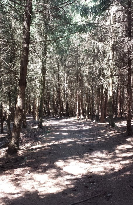
Ein schöner Rundweg für nicht zu heiße Tage: Es geht eine Weile durch die Sonne, dann über schöne Waldwege rund um Rettenberg.

Tour gallery

Tour map and elevation profile

  • Open Street Map
  • Google
Minimum height 476 m Maximum height 540 m Detailed view

More about the tour author

wiesmanns
Member since 2012

Send private message

Comments

Heimatshausen 4,

86316 Friedberg

Parken beim Kreuz unter dem Baum

GPS tracks

Trackpoints
  • GPX / Garmin Map Source (gpx) download
  • TCX / Garmin Training Center® (tcx) download
  • CRS / Garmin Training Center® (crs) download
  • Google Earth (kml) download
  • G7ToWin (g7t) download
  • TTQV (trk) download
  • Overlay (ovl) download
  • Fugawi (txt) download
  • Kompass (DAV) Track (tk) download
  • Track data sheet (pdf) download
  • Original file of the author (gpx) download

More about the tour author

wiesmanns
Member since 2012

Send private message
Share track
Add to my favorites
Remove from my favorites
Edit tags
My score
Rate
Track: Heimatshausen - Rund um Rettenberg
Type: Hiking
Distance: 7,0 km
Evaluated on:
Duration:
Day(s)
Hour(s)
Minute(s)
Score: Landscape Fun factor Fitness Technique