Login

Forgotten password?

Cookies have to be accepted!
Your browser's cookie functionality is disabled. Please enable this functionality.

Not a member yet?

Register now
Login

Available for registred users only

Log in to use this feature.

Forgotten password?

Cookies have to be accepted!
Your browser's cookie functionality is disabled. Please enable this functionality.

Not a member yet?

Register now
Filter
Categories
Advanced filters
  • Distance (km)
  • Height
Save filters Reset filter

TrackRank

QRCode

Technical data

Distance20,8 km Height803 m Way down1862 m Duration04:30 h:m Date30.06.2019
Scores Author Landscape Fun factor Fitness Technique

Statistics

176 Views Scores 31 Downloads Average
Rate
  • Track data sheet
  • Directions
  • Downloads
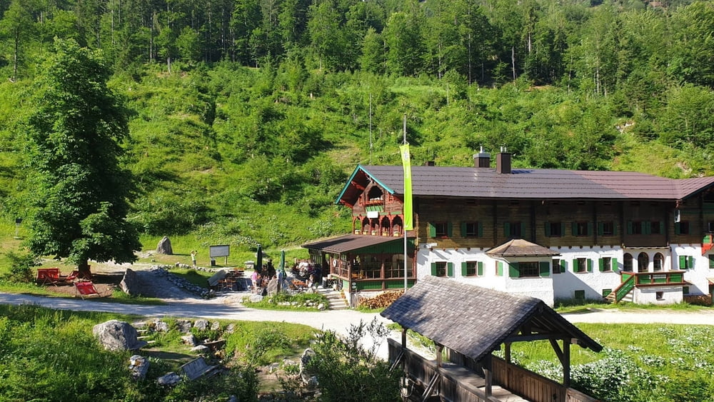
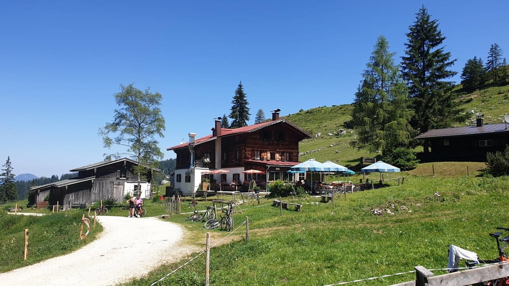
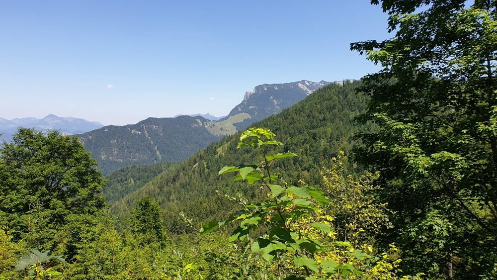
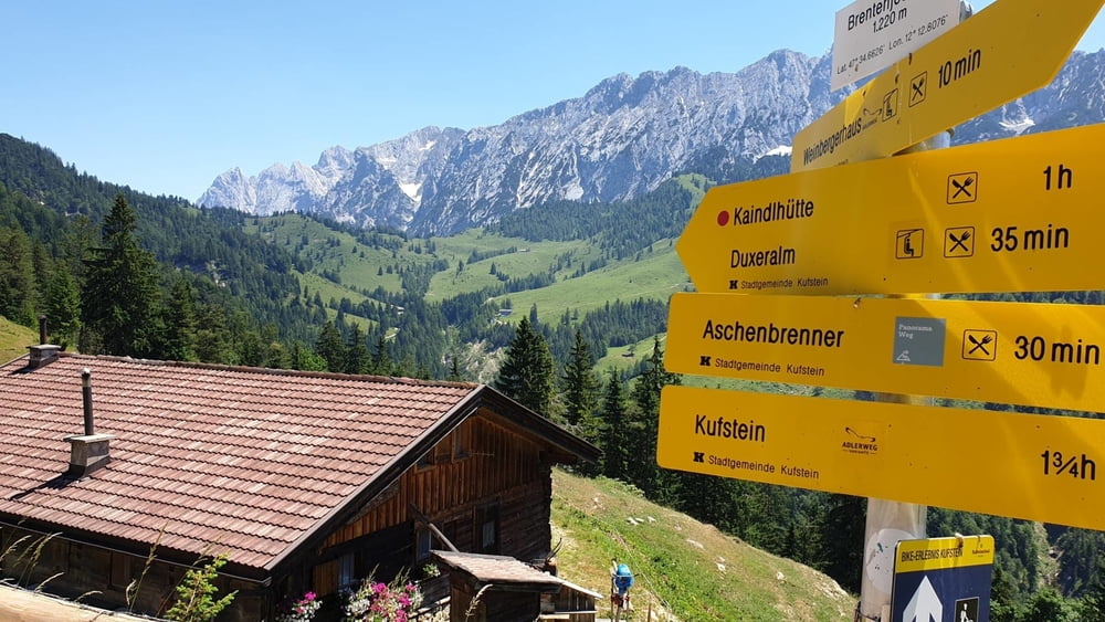
3. Etappe einer 3-Tageswanderung durchs Kaisergebirge. Vom Stripsenjochhaus zurück nach Kufstein, über das Anton-Karg-Haus, die Kaindlhütte und das Aschenbrennerhaus.

Tour gallery

Tour map and elevation profile

  • Open Street Map
  • Google
Minimum height 568 m Maximum height 1628 m Detailed view

More about the tour author

mmehle
Member since 2008

Send private message

Comments

Vorübernachtug auf dem Stripsenjochhaus

GPS tracks

Trackpoints
  • GPX / Garmin Map Source (gpx) download
  • TCX / Garmin Training Center® (tcx) download
  • CRS / Garmin Training Center® (crs) download
  • Google Earth (kml) download
  • G7ToWin (g7t) download
  • TTQV (trk) download
  • Overlay (ovl) download
  • Fugawi (txt) download
  • Kompass (DAV) Track (tk) download
  • Track data sheet (pdf) download
  • Original file of the author (gpx) download

More about the tour author

mmehle
Member since 2008

Send private message
Share track
Add to my favorites
Remove from my favorites
Edit tags
My score
Rate
Track: Stripsenjochhaus - Kufstein
Type: Mountain hiking
Distance: 20,8 km
Evaluated on:
Duration:
Day(s)
Hour(s)
Minute(s)
Score: Landscape Fun factor Fitness Technique