Login

Forgot your login?

Cookies have to be accepted!
Your browser's cookie functionality is disabled. Please enable this functionality.

Not a member yet?

Register now
Login

Available for registred users only

Log in to use this feature.

Forgot your login?

Cookies have to be accepted!
Your browser's cookie functionality is disabled. Please enable this functionality.

Not a member yet?

Register now
Filter
Categories
Advanced filters
  • Distance (km)
  • Height
Save filters Reset filter

TrackRank

QRCode

Technical data

Distance25,5 km Height686 m Way down686 m Duration03:15 h:m Date30.06.2019
Scores Author Landscape Fun factor Fitness Technique

Statistics

624 Views Scores 79 Downloads Average
Rate
  • Track data sheet
  • Directions
  • Downloads

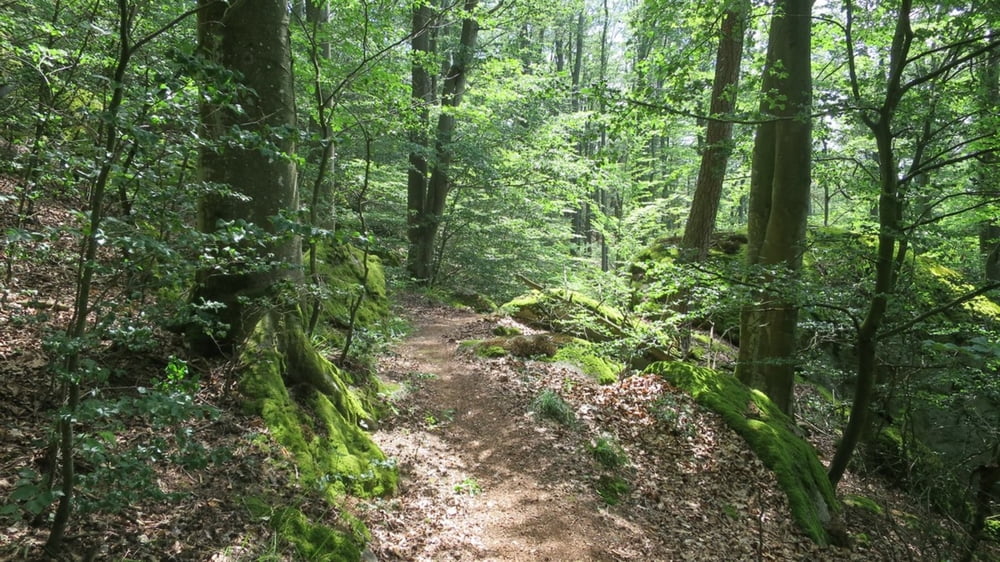
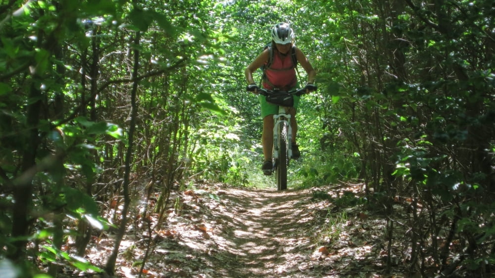
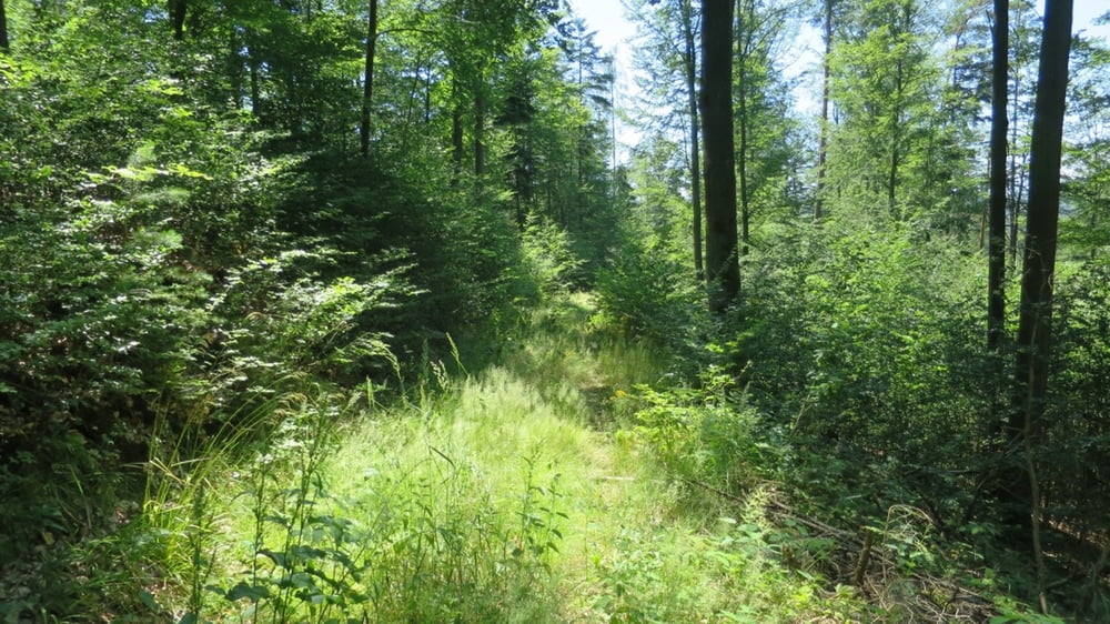
Die Tour startet in Hirschling und führt über möglichst viele Trails im Uhrzeigersinn auf die Höhe von Marienthal, über den Jugenberg und zurück.

Ganz zum Schluß kommt noch der neu entdeckte "Anti-Rheuma Tail"

Die vollständige Beschreiung auf meiner Seite.

Further information at

http://benignus.de/mountainbike/deutschland-entdeckung-des-anti-rheuma-trail

Tour gallery

Tour map and elevation profile

  • Open Street Map
  • Google
Minimum height 337 m Maximum height 611 m Detailed view

More about the tour author

Nachtfarben
Member since 2004

Send private message

Comments

Werni on 14.06.2020

Tolle Runde

Hei vielen Dank fürs Zeigen dieser tollen Runde!!

Die Tour startet in Hirschling.

Aus Regensburg kommend am besten über Regenstauf, Ramspau, Hirschling.

GPS tracks

Trackpoints
  • GPX / Garmin Map Source (gpx) download
  • TCX / Garmin Training Center® (tcx) download
  • CRS / Garmin Training Center® (crs) download
  • Google Earth (kml) download
  • G7ToWin (g7t) download
  • TTQV (trk) download
  • Overlay (ovl) download
  • Fugawi (txt) download
  • Kompass (DAV) Track (tk) download
  • Track data sheet (pdf) download
  • Original file of the author (gpx) download

More about the tour author

Nachtfarben
Member since 2004

Send private message
Share track
Add to my favorites
Remove from my favorites
Edit tags
My score
Rate
Track: Regentalrunde
Type: Mountain bike
Distance: 25,5 km
Evaluated on:
Duration:
Day(s)
Hour(s)
Minute(s)
Score: Landscape Fun factor Fitness Technique