


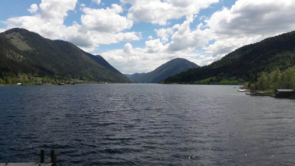
Start der Tour ist am Weißensee in Naggl.
Entang dem See geht es nach Techendorf, und über die Seepromenade nach Praditz, auf der Straße Richtung Tschabitscher, und kurz davor hinunter nach Tröbelsberg und Waisach.
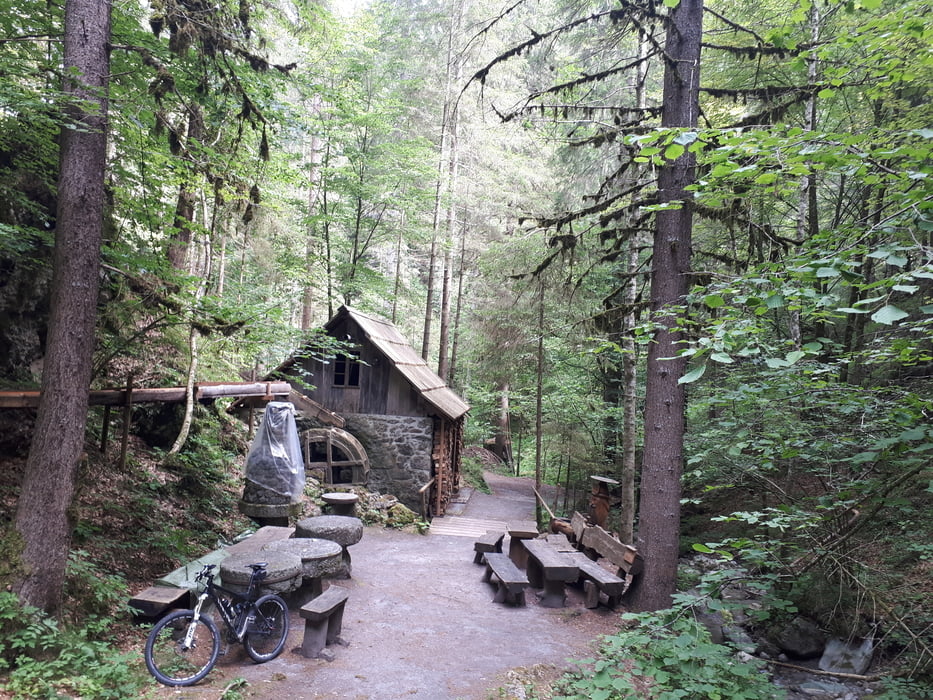
Zwischen Tröbelsberg und Hauptstraße befindet sich der schöne Mühlgraben Wasserfall.
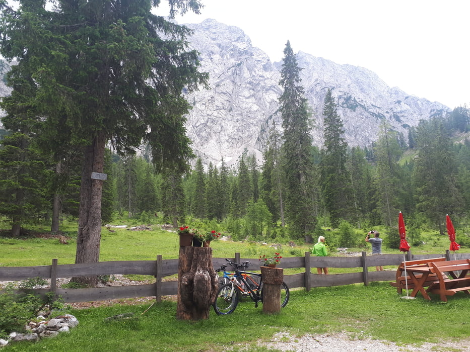
Ab Waisach beginnt der Anstieg über Pfarreben zur Comptonhütte, hier wird man mit einem herrlichen Ausblick auf den Reißkofel belohnt.
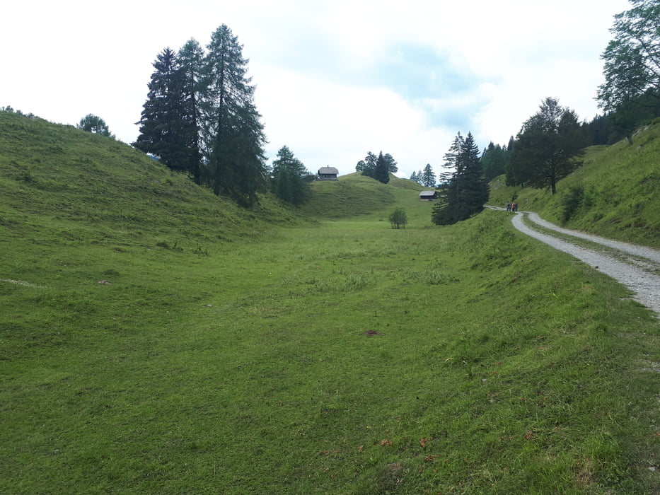
Von der Comptonhütte verläuft die Strecke wieder zurück nach Pfarreben, und weiter auf die Waisacher Alm.
Über den Kreuzberg geht es zurück zum Weißensee, und über den Seeradweg zurück nach Naggl.
Seehöhe
Weißensee: 930m
Waisach: 600m
Pfarreben: 1150m
Comptonhütte: 1585m
Waisacher Alm: 1250m
Kreuzberg: 1050m
Further information at
https://www.alpenverein.at/etcomptonhuette/Tour gallery
Tour map and elevation profile
Minimum height 611 m
Maximum height 1587 m
More about the tour author
|
|
kersti |
Comments

gebührenpflichtige Parkplätze in Naggl
GPS tracks
Trackpoints-
GPX / Garmin Map Source (gpx) download
-
TCX / Garmin Training Center® (tcx) download
-
CRS / Garmin Training Center® (crs) download
-
Google Earth (kml) download
-
G7ToWin (g7t) download
-
TTQV (trk) download
-
Overlay (ovl) download
-
Fugawi (txt) download
-
Kompass (DAV) Track (tk) download
-
Track data sheet (pdf) download
-
Original file of the author (gpx) download
More about the tour author
|
|
kersti |
Add to my favorites
Remove from my favorites
Edit tags
Open track
My score
Rate