


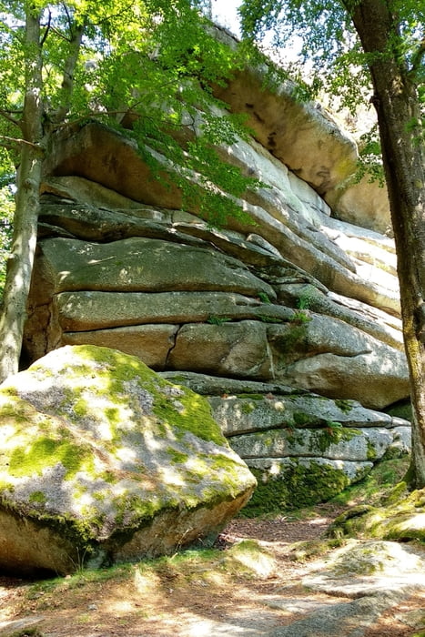
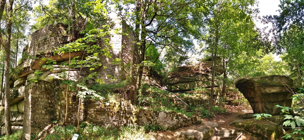
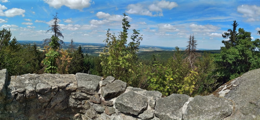
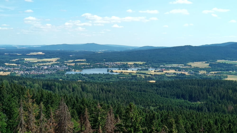
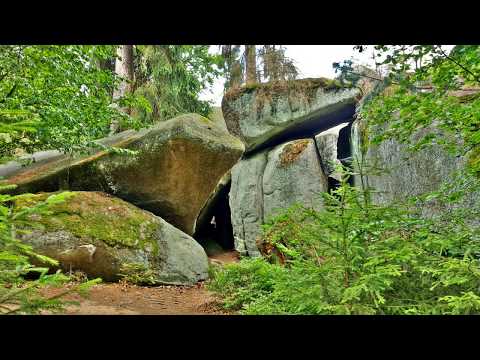
Auf dem Waldsteinweg weiter zu Wald- Parkplatz und aufwärts zum Waldstein.Am Gasthaus beginnt ein faszinierender Rundweg um den Waldstein und die Ruine "Rotes Schloss" aus dem 14. Jhdt. mit markanten Felsformationen und einem großartigen Aussichtspunkt.
Zurück zum Gasthaus, nach ca. 200m links ab auf gut gekennzeichnetem Weg abwärts zur Saalequelle und in Zell auf dem Saalequellweg weiter; am "Galgenberg" rechts und am Wegende links/ rechts auf Pfad zum Parkplatz.
Hinweis: der Film beginnt mt einem Video "Luisenburg Labyrinth, Kösseine" und nach 9:50 Min. folgt der Film "Waldstein".
Wir haben diese Tour im Anschluss an die Wanderung " Luisenburg..." durchgeführt, beide lassen sich an einem Tag bei frühzeitigem Beginn auch mit vielen "Fotopausen" durchführen.
Tour gallery
Tour map and elevation profile
Minimum height 647 m
Maximum height 850 m
More about the tour author
|
|
heinz-57 |
Comments

A9 Ausfahrt Gefrees und weiter nach Zell. Im Ort an Kreuzung (links zum Marktplatz) rechts auf Waldsteinweg. Gegenüber Seniorenheim Parkmöglichkeit.
GPS tracks
Trackpoints-
GPX / Garmin Map Source (gpx) download
-
TCX / Garmin Training Center® (tcx) download
-
CRS / Garmin Training Center® (crs) download
-
Google Earth (kml) download
-
G7ToWin (g7t) download
-
TTQV (trk) download
-
Overlay (ovl) download
-
Fugawi (txt) download
-
Kompass (DAV) Track (tk) download
-
Track data sheet (pdf) download
-
Original file of the author (gpx) download
More about the tour author
|
|
heinz-57 |
Add to my favorites
Remove from my favorites
Edit tags
Open track
My score
Rate