

Pleschnitzzinken
Start der Tour beim Bottinghaus.
Auffahrt bis zum Bottinghaus mit Auto fahrbar jedoch sehr schottrige Schotterstraße.
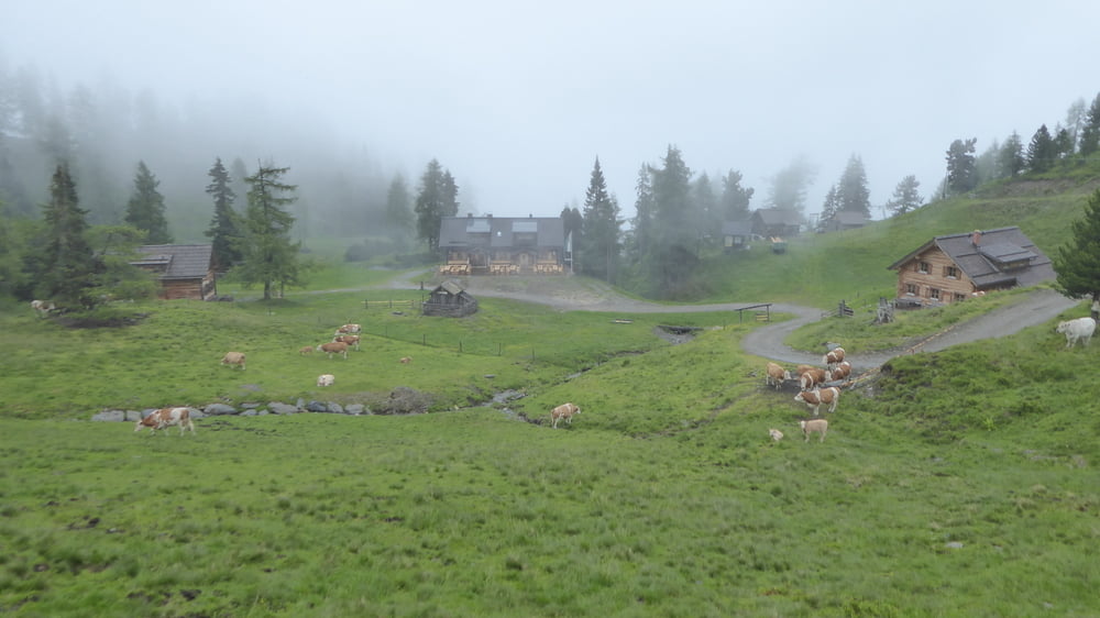
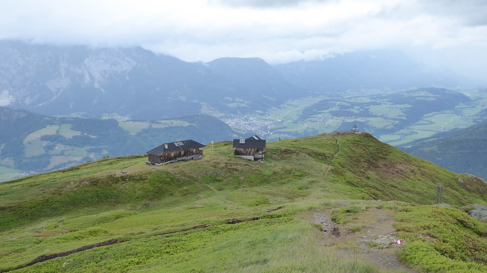
Wanderung auf Waldweg hinauf zur Galsterbergalmhütte. Sehr netter Hüttenwirt.
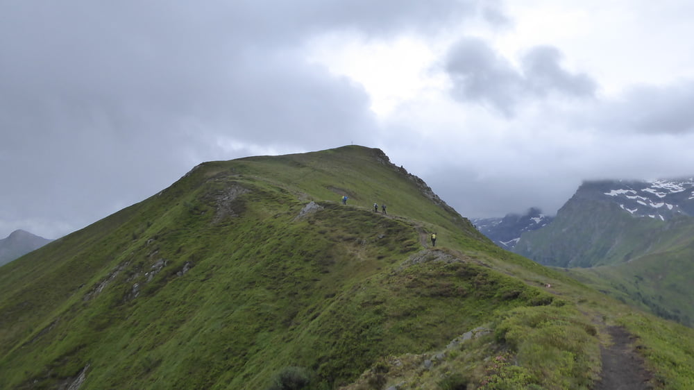
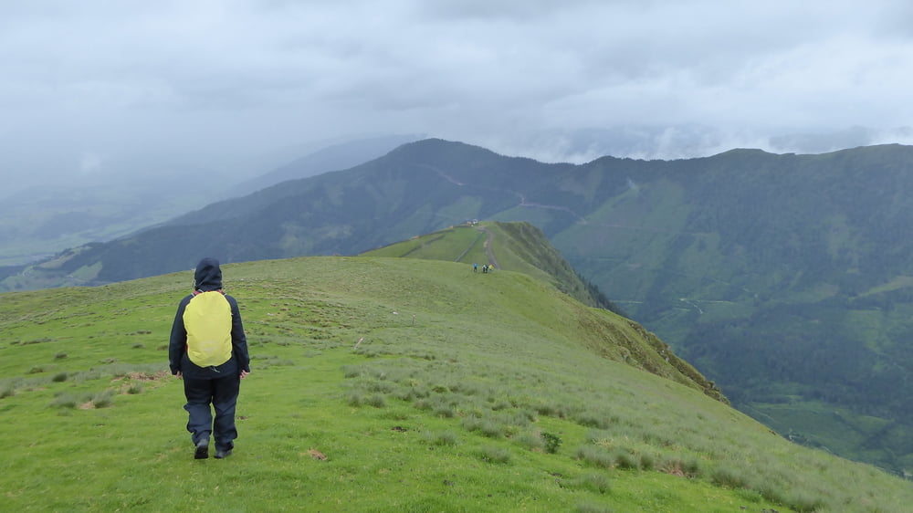
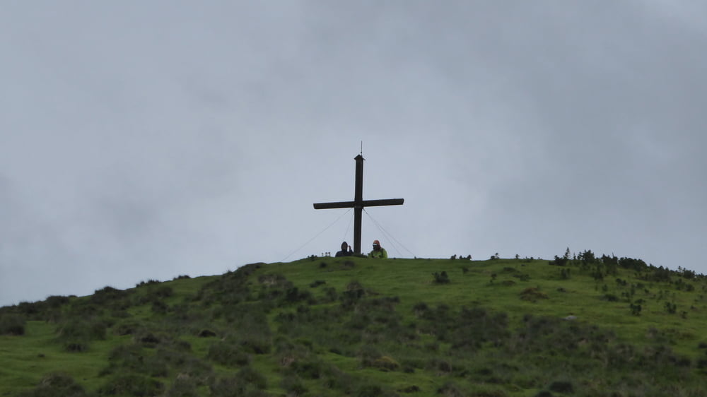
Weiter geht die Wanderung hinauf zum Pletznitzzinken auf 2112 Meter.
Abstieg über den Ostgrad auf eine Forststraße und retour über die Galsterbergalm zum Bottinghaus
Tour gallery
Tour map and elevation profile
Minimum height 1621 m
Maximum height 2096 m
More about the tour author
|
|
Hoar |
Comments

GPS tracks
Trackpoints-
GPX / Garmin Map Source (gpx) download
-
TCX / Garmin Training Center® (tcx) download
-
CRS / Garmin Training Center® (crs) download
-
Google Earth (kml) download
-
G7ToWin (g7t) download
-
TTQV (trk) download
-
Overlay (ovl) download
-
Fugawi (txt) download
-
Kompass (DAV) Track (tk) download
-
Track data sheet (pdf) download
-
Original file of the author (gpx) download
More about the tour author
|
|
Hoar |
Add to my favorites
Remove from my favorites
Edit tags
Open track
My score
Rate