


Padjelantaleden 2019
Anreise bis Gällivare mit dem Flugzeug. Ab Gällivare mit dem Bus zum Startpunkt Ritsem.
1. Etappe: STF Ritsem ( Kreditkarte akzeptiert ! ) - Gisurishütte BLT ( Bootstransfer --> Kreditkarte akzeptiert )! )
2. Etappe: Gisurishütte - Läddejakkahütte BLT
3. Etappe: Läddejakkahütte - Arasluoktahütte BLT
4. Arasluoktahütte - Staloluktahütte BLT ( "Kiosk im Ort --> Kreditkarte möglich! )
5. Staloluktahütte - Duottarahütte BLT ( 3 Flussquerungen! )
6. Duottarahütte - Darreluoppalhütte BLT
7. Darreluoppalhütte - Sammerlappahütte STF ( --> Kreditkarte akzebtiert! )
8. Sammerlappahütte - Tarrekaiserhütte STF
9. Tarrekaiserhüüte - Njunjeshütte STF ( hier kein Shop! ) - ( 1 x Flussquerung ! )
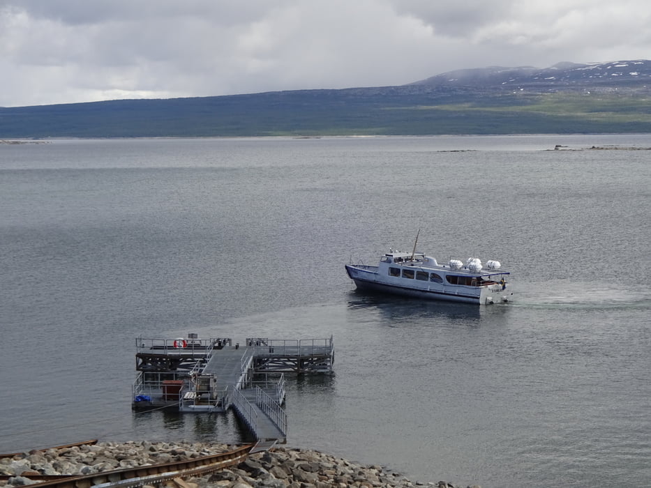
10: Njunjeshütte - Bootsanleger Bobäcken --> nach Kvikkjokk mit dem Boot ( --> Barzahlung! )
Rückreise nach Gällivare ab Kvikkjokk mit Bus möglich ( 1 x Umsteigen )!
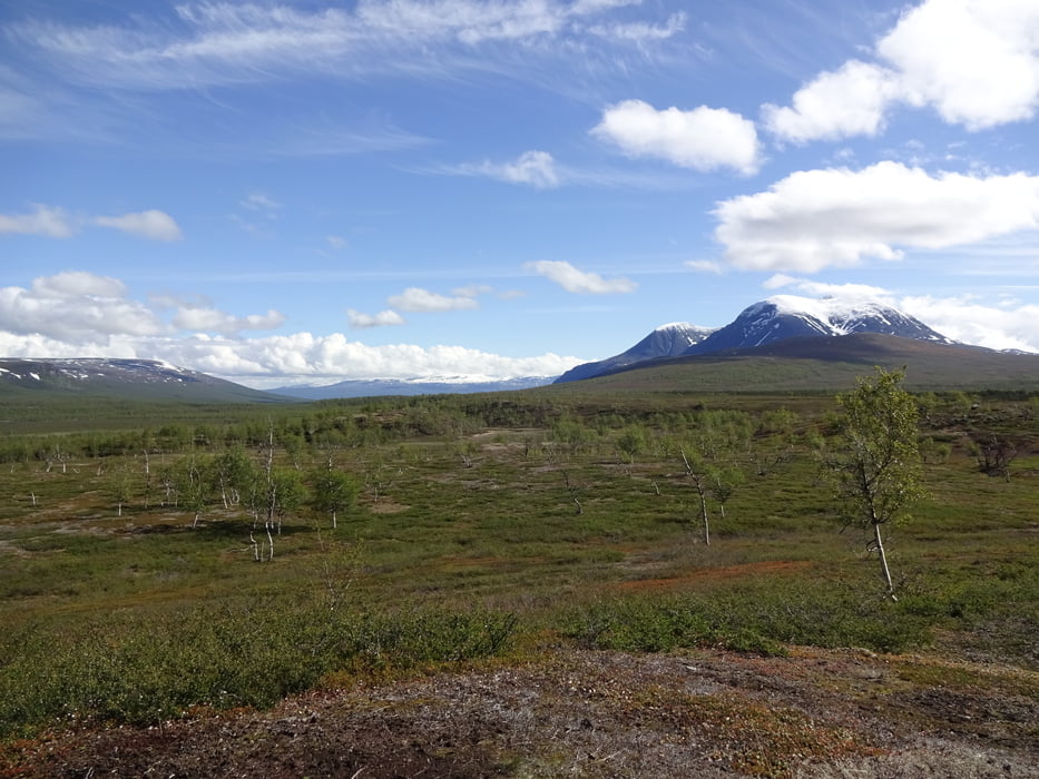
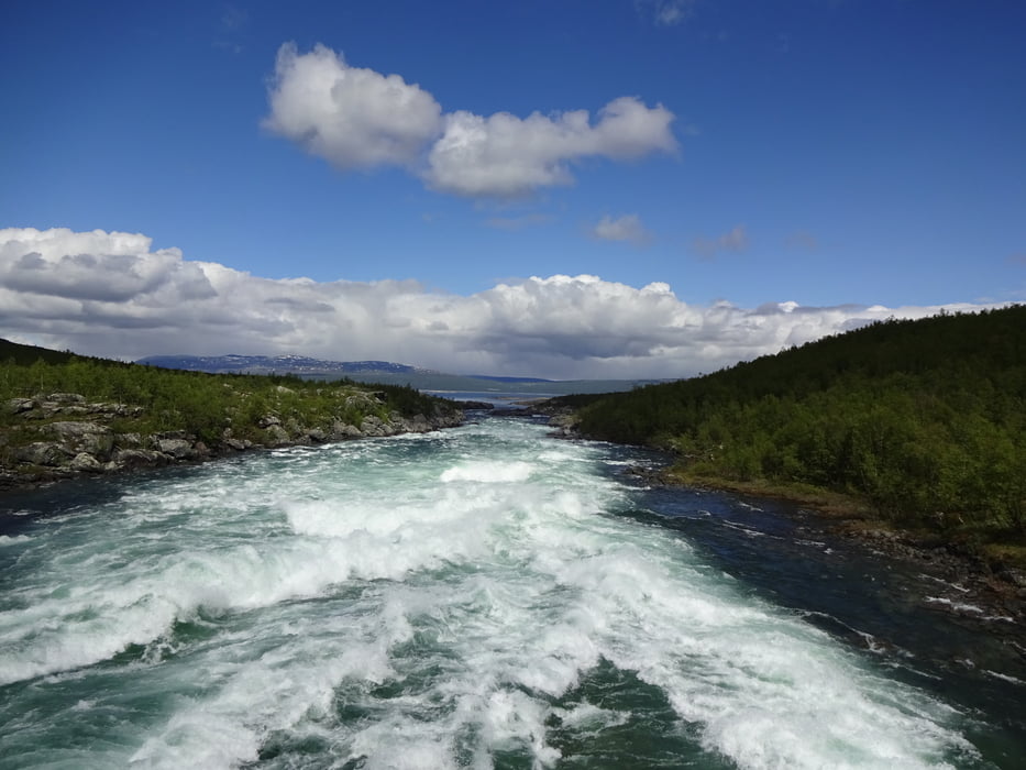
Lanschaftlich ein Traum, gute Beschilderung!
Proviantaufnahme ( Nudeln, Kekse, usw. ) fast an jeder Hütte möglich ( Essenvorrat für zwei Tage ist ausreichend ! )
Gelaufen im Juli 2019!
Track weitgehend bereinigt!
Empfehlung: Padjelantleden ISBN 978 - 3 - 86686 - 533 - 4
Viel Spaß!
Further information at
https://de.wikipedia.org/wiki/PadjelantaledenTour gallery
Tour map and elevation profile
Minimum height 291 m
Maximum height 949 m
More about the tour author
|
|
FLU |
Comments

GPS tracks
Trackpoints-
GPX / Garmin Map Source (gpx) download
-
TCX / Garmin Training Center® (tcx) download
-
CRS / Garmin Training Center® (crs) download
-
Google Earth (kml) download
-
G7ToWin (g7t) download
-
TTQV (trk) download
-
Overlay (ovl) download
-
Fugawi (txt) download
-
Kompass (DAV) Track (tk) download
-
Track data sheet (pdf) download
-
Original file of the author (gpx) download
More about the tour author
|
|
FLU |
Add to my favorites
Remove from my favorites
Edit tags
Open track
My score
Rate