


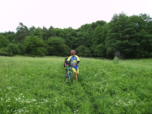
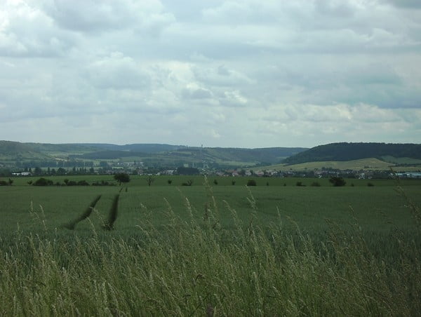
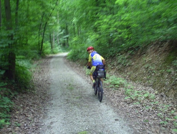
Start Bahnhof Kirchscheidungen. Tour verläuft zum größten Teil auf Wald,- Wiesen und Feldwegen. Neben kurzen knackigen Anstiegen sind auch lange schöne Abfahrten dabei. Der Anteil an Straßen/ Asphalt ist zu vernachlässigen. Ab dem Wurmberg nördlich Herrengosserstedt weiter auf dem Finnewanderweg Richtung Osten bis Sophiental. Ab hier den Hassebachweg folgen.
Further information at
http://www.mtb-news.de/forum/showpost.php?p=4845912&postcount=298Tour gallery
Tour map and elevation profile
Minimum height 99999 m
Maximum height -99999 m
More about the tour author
|
|
Udo1 |
Comments

Mit der Burgenlandbahn von Naumburg nach Kirchscheidungen
GPS tracks
Trackpoints-
GPX / Garmin Map Source (gpx) download
-
TCX / Garmin Training Center® (tcx) download
-
CRS / Garmin Training Center® (crs) download
-
Google Earth (kml) download
-
G7ToWin (g7t) download
-
TTQV (trk) download
-
Overlay (ovl) download
-
Fugawi (txt) download
-
Kompass (DAV) Track (tk) download
-
Track data sheet (pdf) download
-
Original file of the author (gpx) download
More about the tour author
|
|
Udo1 |
Add to my favorites
Remove from my favorites
Edit tags
Open track
My score
Rate