


Hier erwartet euch eine schöne Rundwander-Tour im Elbsandsteingebirge ;-))
Die Wandertour statet in Altendorf, das nahe bei Bad Schandau liegt von einem Kostenlosen Parkplatz (Stand 10/2018) Markierung: Start Parkplatz an dem auch noch einen großen Kinderspielplatz ist.
In dieser Wandertour stecken ein paar Kilometer vom Malerweg - Wanderweg.
Nach und nach werde ich immer wieder einzel Tagestouren hier einstellen wo Teilstücke vom Malerweg darin enthalten sind so das zum schluss der gesamte Malerweg abgewandert ist. So wie ich das mit dem 243. Burgenwanderweg auch schon getan habe ;-))
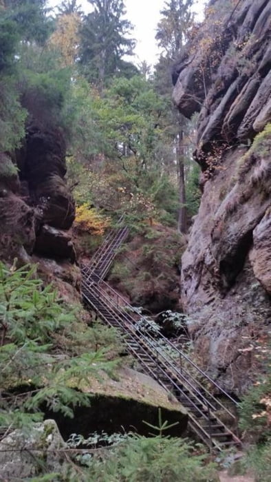
Makrierung: Schrammtor ist der Einstieg in diese Atemberaubende ;-) Bergwelt ;-)
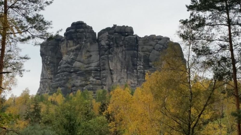
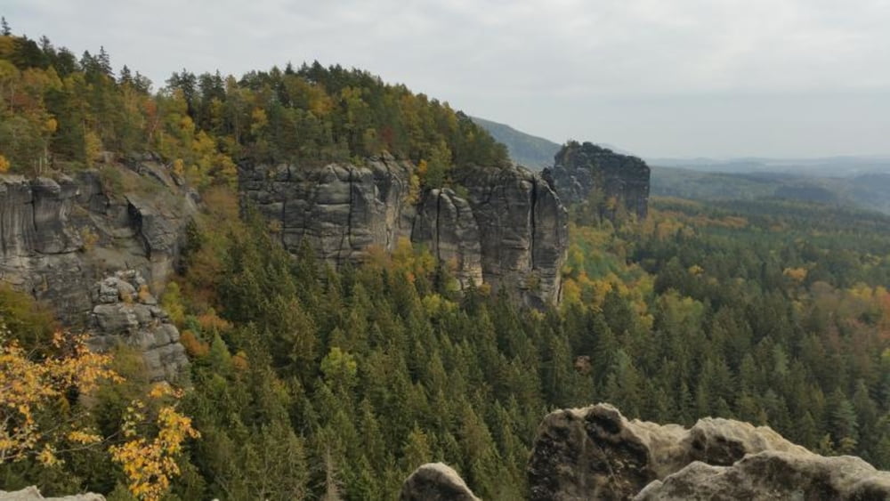
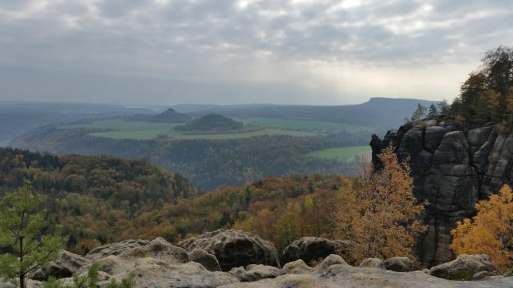
Markierung: Schöne Aussicht ;-)) und Schrammsteine Aussicht ;-) sind Aussichtspunkte zum genießen. Doch es gibt unterweg noch viiiiel mehr schöne Aussichtspunkte für die es sich alle gelohnt hat hier her zu kommen ;-)
PS: Tour ist von allen überflüssigen Wegpunkten bereinigt.
Nun viel Spaß beim Wandern.
Further information at
https://www.saechsische-schweiz.de/Tour gallery
Tour map and elevation profile
Minimum height 133 m
Maximum height 417 m
More about the tour author
|
|
tret_werk |
Comments

Der Startpunkt der Tour kann auch als Anreisepunkt gewählt werden.
In Altendorf das nahe bei Bad Schandau liegt gibt es genügend kostenlose Parkplätze
GPS tracks
Trackpoints-
GPX / Garmin Map Source (gpx) download
-
TCX / Garmin Training Center® (tcx) download
-
CRS / Garmin Training Center® (crs) download
-
Google Earth (kml) download
-
G7ToWin (g7t) download
-
TTQV (trk) download
-
Overlay (ovl) download
-
Fugawi (txt) download
-
Kompass (DAV) Track (tk) download
-
Track data sheet (pdf) download
-
Original file of the author (gpx) download
More about the tour author
|
|
tret_werk |
Add to my favorites
Remove from my favorites
Edit tags
Open track
My score
Rate