


Innsbruck-Kolsass-Kolsassberg-Weidener Hütte-Geiseljoch-
Vorderlanersbach-Hintertux
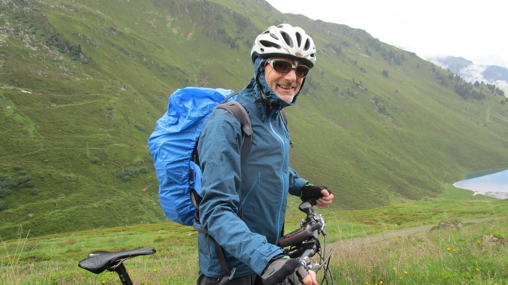
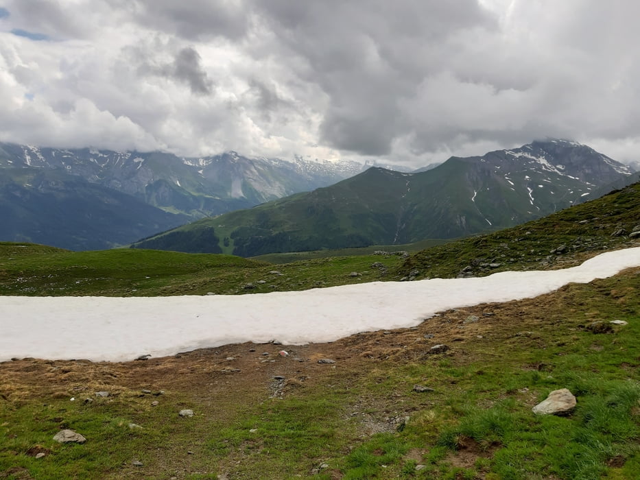
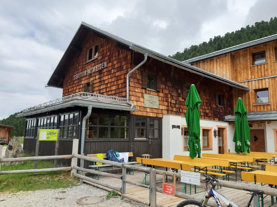
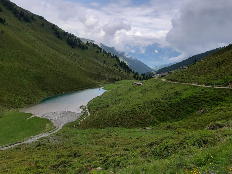
Transalpstart 2019! Zunächst 22 km flach einrollen bis Kolsass. Von da 6 km auf Asphalt bergan, bevor wir endlich Schotteruntergrund bekommen. Rast in der Weidener Hütte. Der Weg zum Geiseljoch ist großteils gut fahrbar. Da sind dann ca. 1900 hm in einem Stück geschafft. Leichter Regen und aufziehender Nebel bei wenigen Graden über Null lassen uns bald wieder weiterziehen. Problemlos! Und die Sonne lässt sich wieder blicken. Von Vorderlanersbach nach Hintertux hauptsächlich auf der Straße, ca 8 km und 250 hm. Quartier: Pension Willeiter NF 37€ gut.
Transalpstart 2019! Zunächst 22 km flach einrollen bis Kolsass. Von da 6 km auf Asphalt bergan, bevor wir endlich Schotteruntergrund bekommen. Rast in der Weidener Hütte. Der Weg zum Geiseljoch ist großteils gut fahrbar. Da sind dann ca. 1900 hm in einem Stück geschafft. Leichter Regen und aufziehender Nebel bei wenigen Graden über Null lassen uns bald wieder weiterziehen. Problemlos! Und die Sonne lässt sich wieder blicken. Von Vorderlanersbach nach Hintertux hauptsächlich auf der Straße, ca 8 km und 250 hm. Quartier: Pension Willeiter NF 37€ gut.
Further information at
http://www.willeiter.at/Tour gallery
Tour map and elevation profile
Minimum height 519 m
Maximum height 2294 m
More about the tour author
|
|
mitter |
Comments

Start in Innsbruck Wilten.
GPS tracks
Trackpoints-
GPX / Garmin Map Source (gpx) download
-
TCX / Garmin Training Center® (tcx) download
-
CRS / Garmin Training Center® (crs) download
-
Google Earth (kml) download
-
G7ToWin (g7t) download
-
TTQV (trk) download
-
Overlay (ovl) download
-
Fugawi (txt) download
-
Kompass (DAV) Track (tk) download
-
Track data sheet (pdf) download
-
Original file of the author (gpx) download
More about the tour author
|
|
mitter |
Add to my favorites
Remove from my favorites
Edit tags
Open track
My score
Rate