
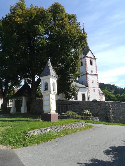

Von Klagenfurt - Rotkreuzzentrale über den R7 bis zum Herzogstuhl, Arndorf, Rosendorf, Ottmanach. Bergauf nach Latschach, Göriach zur Magdalensberg-Landesstrasse, die aber nur bergab befahren wird, Der Magdalensberggipfel wurde diesmal ausgelassen. In St.Michael am Zollfeld, kurz vor der Bundesstrasse nach links abbiegen nach Willersdorf und vor Meiselberg nach rechts über eine Schotterstrasse (sehr ausgewaschen nach einem Gewitter) wieder nach Rosendorf, Arndorf, Maria Saal, am Ortsausgang nach links am Friedhof vorbei nach Ratzendorf, unter der Bahn und der Schnellstrasse nach Karnburg, R7 zurück nach Klagenfurt ( Mittagessen beim Schloßwirt in Annabichl musste entfallen wegen Betriebsurlaubs - das ist der Schlenkerer im GPS-Track)
Tour map and elevation profile
Minimum height 440 m
Maximum height 821 m
More about the tour author
|
|
walderich |
Comments

GPS tracks
Trackpoints-
GPX / Garmin Map Source (gpx) download
-
TCX / Garmin Training Center® (tcx) download
-
CRS / Garmin Training Center® (crs) download
-
Google Earth (kml) download
-
G7ToWin (g7t) download
-
TTQV (trk) download
-
Overlay (ovl) download
-
Fugawi (txt) download
-
Kompass (DAV) Track (tk) download
-
Track data sheet (pdf) download
-
Original file of the author (gpx) download
More about the tour author
|
|
walderich |
Add to my favorites
Remove from my favorites
Edit tags
Open track
My score
Rate