


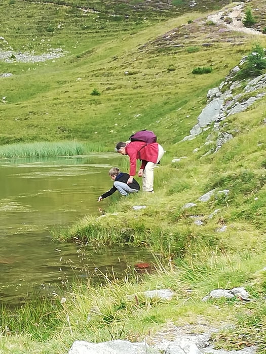
Mit der Nationalparkbahn von St. Oswald/Brunnach auf die Brunnachalm (1900m) nach Norden nach zur St.Oswalder Bockhütte. Dort verzweigt sich der Weg ein zweites Mal. Den Wanderweg 122 zum Oswalder Bocksattel. Dort schwenken wir nach Westen Richtung Pfannnock, steiler hinauf bis zum Pfannsee, weiter nach Süden Weg 14 bergab zum Arkersattel und weiter bergab nach Osten wieder zur Oawalder Bockhütte, wo wir Rast halten und dann den gleichen Weg wie am Anfang zurück zur Seilbahnstation.
Tour gallery


Tour map and elevation profile
Minimum height 1817 m
Maximum height 2070 m
More about the tour author
|
|
walderich |
Comments

GPS tracks
Trackpoints-
GPX / Garmin Map Source (gpx) download
-
TCX / Garmin Training Center® (tcx) download
-
CRS / Garmin Training Center® (crs) download
-
Google Earth (kml) download
-
G7ToWin (g7t) download
-
TTQV (trk) download
-
Overlay (ovl) download
-
Fugawi (txt) download
-
Kompass (DAV) Track (tk) download
-
Track data sheet (pdf) download
-
Original file of the author (gpx) download
More about the tour author
|
|
walderich |
Add to my favorites
Remove from my favorites
Edit tags
Open track
My score
Rate