


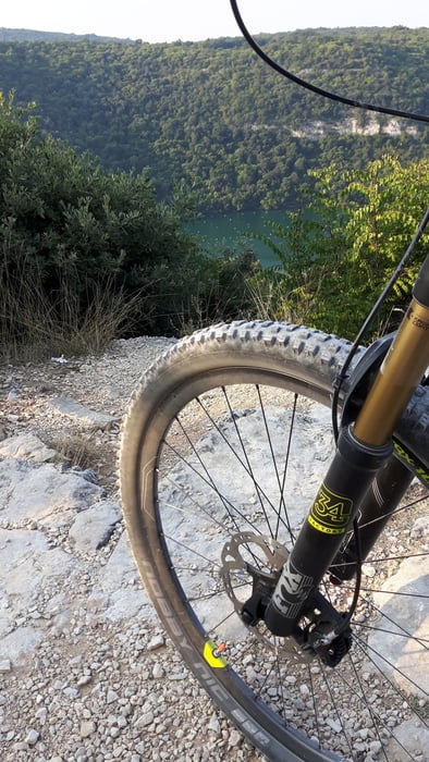
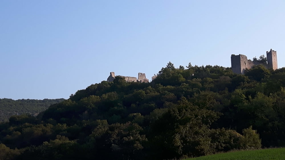
Vom Campingplatz in Vrsar geht es oberhalb des Limfjord entlang Richtung Klostar. Bis dort hin hat man immer wieder schöne Ausblicke auf den Fjord. Über einen kurzen Trail hat man dann schnell den Höhenunterschied zum Meer überwunden. Am Ende des Fjords geht der Weg weiter bis zur Bazilika sv. Sofija, eine alte Burgruine. Von hier geht es über Mrgani und Jural zurück bis nach Vrsar.
Tour gallery

Tour map and elevation profile
Minimum height -3 m
Maximum height 204 m
More about the tour author
|
|
blackforest_adventur |
Comments

Campingplatz Porto Sole
Petalon 1, 52450, Vrsar
GPS tracks
Trackpoints-
GPX / Garmin Map Source (gpx) download
-
TCX / Garmin Training Center® (tcx) download
-
CRS / Garmin Training Center® (crs) download
-
Google Earth (kml) download
-
G7ToWin (g7t) download
-
TTQV (trk) download
-
Overlay (ovl) download
-
Fugawi (txt) download
-
Kompass (DAV) Track (tk) download
-
Track data sheet (pdf) download
-
Original file of the author (gpx) download
More about the tour author
|
|
blackforest_adventur |
Add to my favorites
Remove from my favorites
Edit tags
Open track
My score
Rate