Login

Forgot your login?

Cookies have to be accepted!
Your browser's cookie functionality is disabled. Please enable this functionality.

Not a member yet?

Register now
Login

Available for registred users only

Log in to use this feature.

Forgot your login?

Cookies have to be accepted!
Your browser's cookie functionality is disabled. Please enable this functionality.

Not a member yet?

Register now
Filter
Categories
Advanced filters
  • Distance (km)
  • Height
Save filters Reset filter

TrackRank

QRCode

Technical data

Distance24,9 km Height438 m Way down426 m Duration00:00 h:m Date30.08.2019
Scores Author Landscape Fun factor Fitness Technique

Statistics

181 Views Scores 20 Downloads Average
Rate
  • Track data sheet
  • Directions
  • Downloads

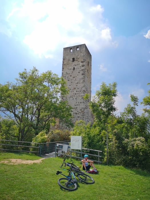
Die Tour beginnt und endet in Nördlingen. Geplant habe ich sie als schönsten Umweg zum Literaturcafe am Lindle. Mittwochs ist hier geschlossen.

Start ist der Parkplatz des EGM. Zu Ende ist die Tour am Marktplatz in Nördlingen.

Tour gallery

Tour map and elevation profile

  • Open Street Map
  • Google
Minimum height 432 m Maximum height 582 m Detailed view

More about the tour author

duettoholger
Member since 2008

Send private message

Comments

GPS tracks

Trackpoints
  • GPX / Garmin Map Source (gpx) download
  • TCX / Garmin Training Center® (tcx) download
  • CRS / Garmin Training Center® (crs) download
  • Google Earth (kml) download
  • G7ToWin (g7t) download
  • TTQV (trk) download
  • Overlay (ovl) download
  • Fugawi (txt) download
  • Kompass (DAV) Track (tk) download
  • Track data sheet (pdf) download
  • Original file of the author (gpx) download

More about the tour author

duettoholger
Member since 2008

Send private message
Share track
Add to my favorites
Remove from my favorites
Edit tags
My score
Rate
Track: Nördlingen Ederheim und Lindle
Type: Mountain bike
Distance: 24,9 km
Evaluated on:
Duration:
Day(s)
Hour(s)
Minute(s)
Score: Landscape Fun factor Fitness Technique