
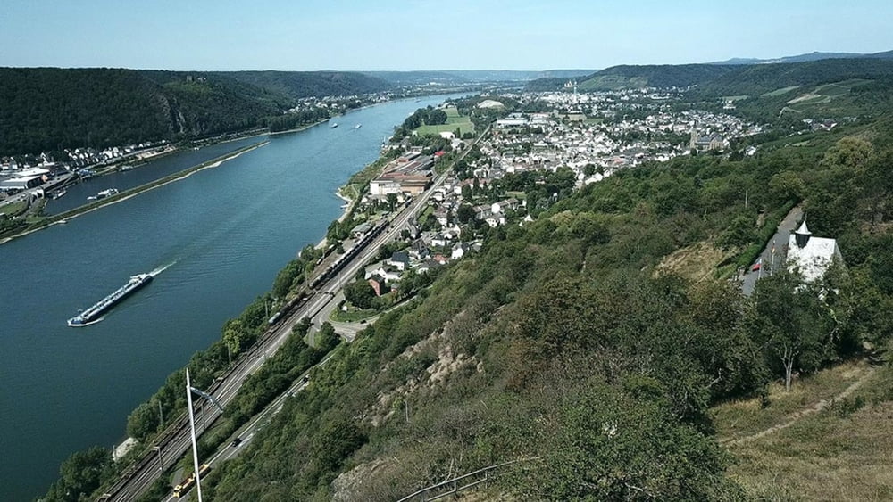

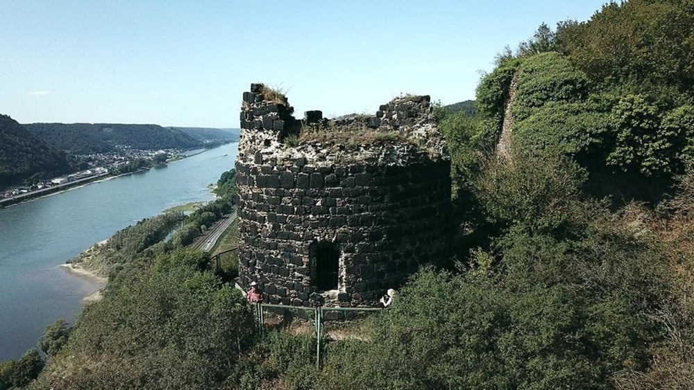
Vom Bahnhof aus folgen wir der zuwege Beschilderung zum Rheinsteig. Nicht weit entfernt vom Startpunkt, in unmittelbarer Nähe zum Rhein, befindet sich das Erlebnismuseum Römer Welten. Auf der Tour zwischen Bad Hönningen und Leutesdorf ist der Rheinsteig wieder einmal verschwenderisch mit schönen Ausblicken. Von den Felsen der Rheinbrohler und der Hammersteiner Lay geht es über schmale Pfade zu dem sonnenverwöhnten Weinbergs Hängen oberhalb von Leutesdorf.
Tour gallery
Tour map and elevation profile
Minimum height 60 m
Maximum height 251 m
More about the tour author
|
|
schleidy |
Comments

GPS tracks
Trackpoints-
GPX / Garmin Map Source (gpx) download
-
TCX / Garmin Training Center® (tcx) download
-
CRS / Garmin Training Center® (crs) download
-
Google Earth (kml) download
-
G7ToWin (g7t) download
-
TTQV (trk) download
-
Overlay (ovl) download
-
Fugawi (txt) download
-
Kompass (DAV) Track (tk) download
-
Track data sheet (pdf) download
-
Original file of the author (gpx) download
More about the tour author
|
|
schleidy |
Add to my favorites
Remove from my favorites
Edit tags
Open track
My score
Rate