
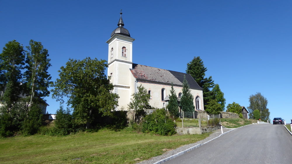

Rohrbach - Scheiblhoferberg (versteckt)
Neundling - Hintring - Gierling - Moosham - Unterahleiten -
Etzerreit - weiter am Steinbruchweg runter zu den Mühlkreisbahnschienen -
am Mühltalweg nach Schörsching -
wieder runter zur Großen Mühl - weiter auf Mühltalweg nach Hölling Oberfeuchtenbach
geplante Abfahrt auf Wanderweg nach Maria Pötsch wegen "Kuhweide und Elektrozaun" abgeblasen - auf Asphalt runter zur Großen Mühl
rauf nach Pürnstein weiter auf Güterweg und Feldweg nach Steinbruch
nach Steinbruch links Feldquerung auf Feldweg und Abfahrt auf Traumweg zur Großen Mühl -
entlang der Großen Mühl gen Norden
Güterweg Untergahleiten Hintring - Grub - Gollner und retour nach Rohrbach
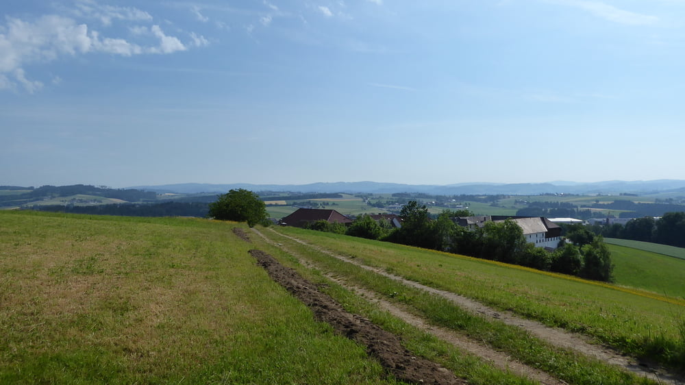
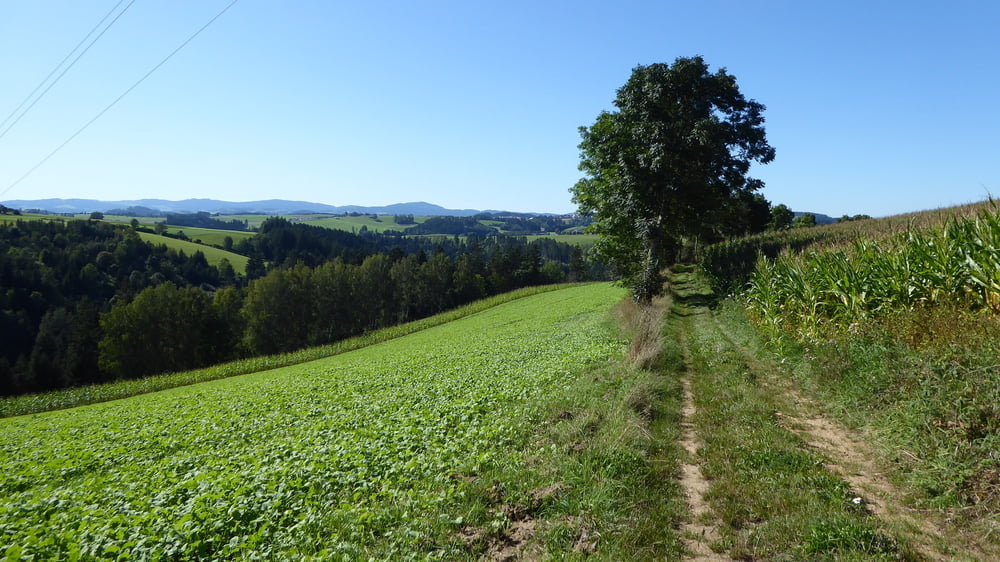
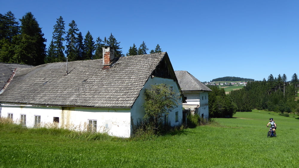
Tour gallery
Tour map and elevation profile
Minimum height 469 m
Maximum height 632 m
More about the tour author
|
|
Hoar |
Comments

GPS tracks
Trackpoints-
GPX / Garmin Map Source (gpx) download
-
TCX / Garmin Training Center® (tcx) download
-
CRS / Garmin Training Center® (crs) download
-
Google Earth (kml) download
-
G7ToWin (g7t) download
-
TTQV (trk) download
-
Overlay (ovl) download
-
Fugawi (txt) download
-
Kompass (DAV) Track (tk) download
-
Track data sheet (pdf) download
-
Original file of the author (gpx) download
More about the tour author
|
|
Hoar |
Add to my favorites
Remove from my favorites
Edit tags
Open track
My score
Rate