


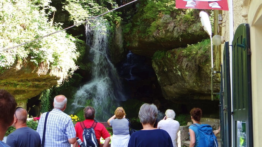
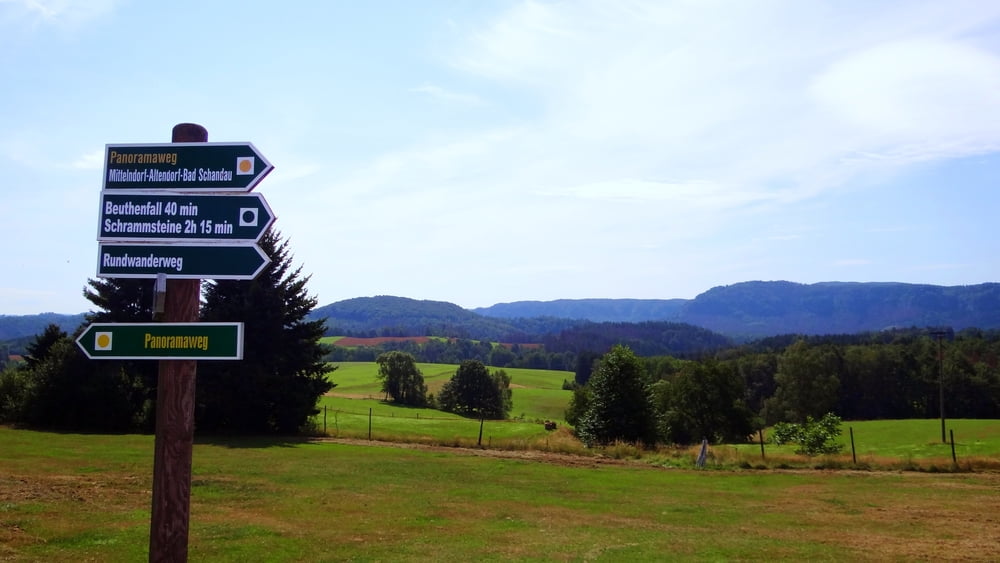
Start am Lichtenhainer Wasserfall und den Weg links vom Lichtenhainer Wasserfall aufwärts nach Lichtenhain über den Hörnelweg. In Lichtenhain weiter auf dem ausgeschilderten Panoramaweg (gelber Punkt) zunächst nach Mittelndorf und dann nach Altendorf. Von dort geht es dann weiter an der Gartenanlage Kiefricht, an der Burgruine Schomberg und der Schloßbastei weiter abwärts in den Ort Bad Schandau. An der Endhaltestelle der Kirnitzschtalbahn angekommen kann man dann noch durch die Altstadt und über den den Marktplatz wandern.
Tour gallery

Tour map and elevation profile
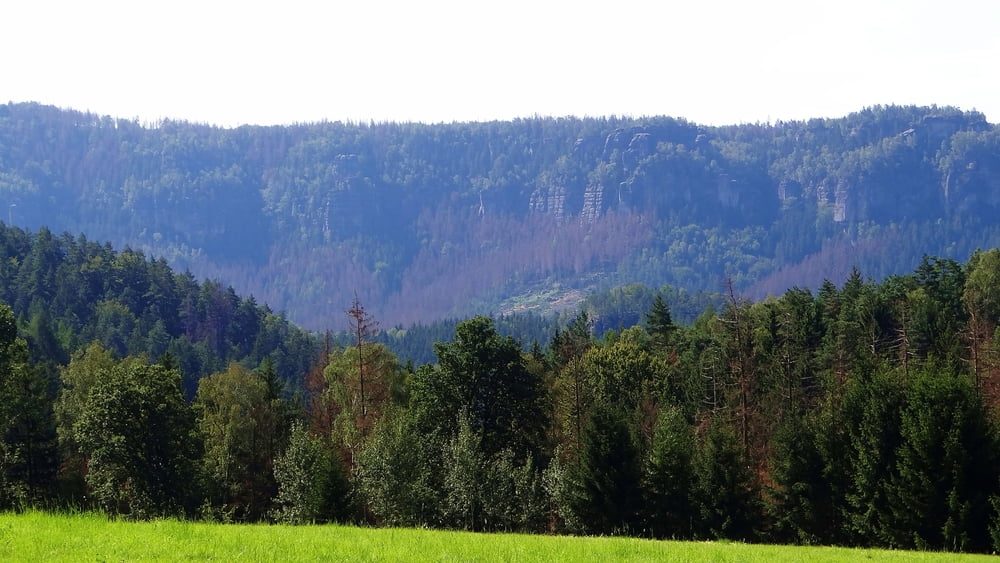
Minimum height 47 m
Maximum height 411 m
More about the tour author
|
|
kirstf |
Comments

Da die Wanderung eine Streckenwanderung ist, empfiehlt es sich mit den öffentlichen Verkehrsmitteln anzureisen. Vom Natinalparkbahnhof Bad Schandau mit der Buslinie 241 bis Haltestelle Kirnitzschtal Lichtenhainer Wasserfall.
GPS tracks
Trackpoints-
GPX / Garmin Map Source (gpx) download
-
TCX / Garmin Training Center® (tcx) download
-
CRS / Garmin Training Center® (crs) download
-
Google Earth (kml) download
-
G7ToWin (g7t) download
-
TTQV (trk) download
-
Overlay (ovl) download
-
Fugawi (txt) download
-
Kompass (DAV) Track (tk) download
-
Track data sheet (pdf) download
-
Original file of the author (gpx) download
More about the tour author
|
|
kirstf |
Add to my favorites
Remove from my favorites
Edit tags
Open track
My score
Rate