


Liebe MTB-Freundinnen u. MTB-Freunde!
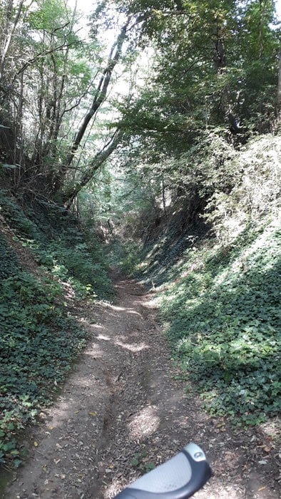
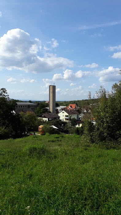
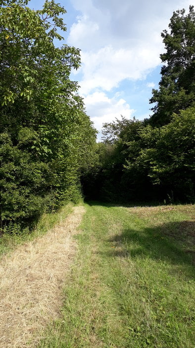
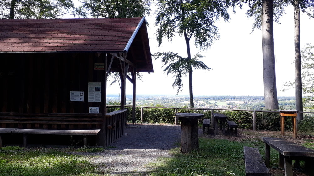
Heute gibts mal wieder eine kleine Feierabendtour rund um Zeutern - Oberöwisheim. Es sind altbekannte Hohlwege mitdabei, genau so wie Feld- und Waldwege. Pausieren kann man bei der Himmelreichhütte in Zeutern. Wer möchte, kann auf der Route auch noch 4 Geocaches suchen...und finden ;-)
Viel Spaß in der Natur!
Tour gallery
Tour map and elevation profile
Minimum height 130 m
Maximum height 231 m
More about the tour author
|
|
riverdiver |
Comments

Rundkurs; Einstieg überall möglich. Startpunkt war in Zeutern, Althohlstraße.
GPS tracks
Trackpoints-
GPX / Garmin Map Source (gpx) download
-
TCX / Garmin Training Center® (tcx) download
-
CRS / Garmin Training Center® (crs) download
-
Google Earth (kml) download
-
G7ToWin (g7t) download
-
TTQV (trk) download
-
Overlay (ovl) download
-
Fugawi (txt) download
-
Kompass (DAV) Track (tk) download
-
Track data sheet (pdf) download
-
Original file of the author (gpx) download
More about the tour author
|
|
riverdiver |
Add to my favorites
Remove from my favorites
Edit tags
Open track
My score
Rate