

bin dieses Jahr 14Tage im Bereich Genua unterwegs gewesen. Hier eine der interessanten Enduro Touren:
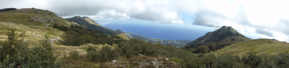
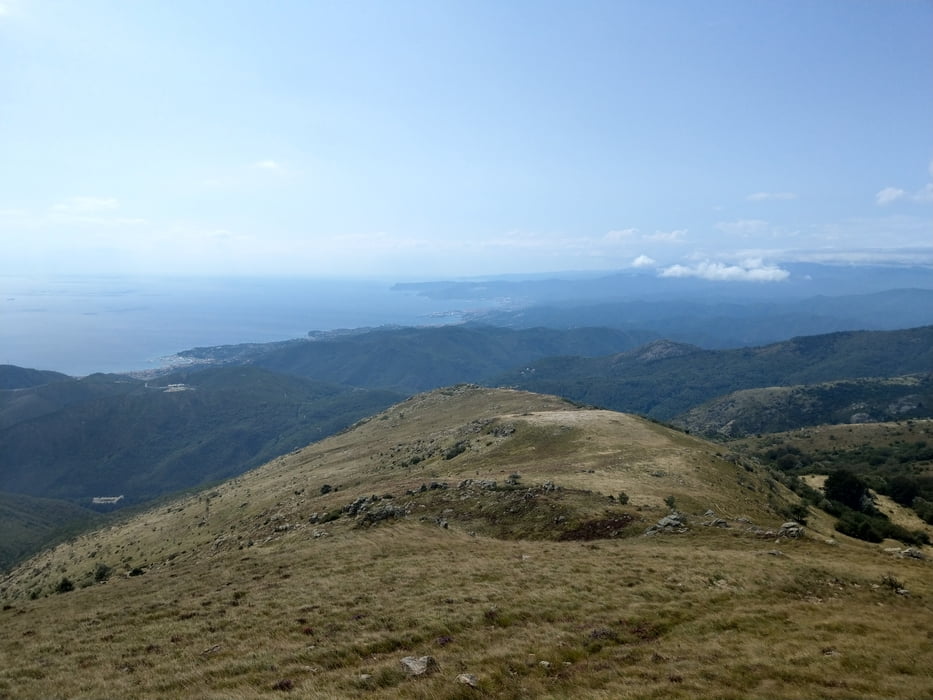
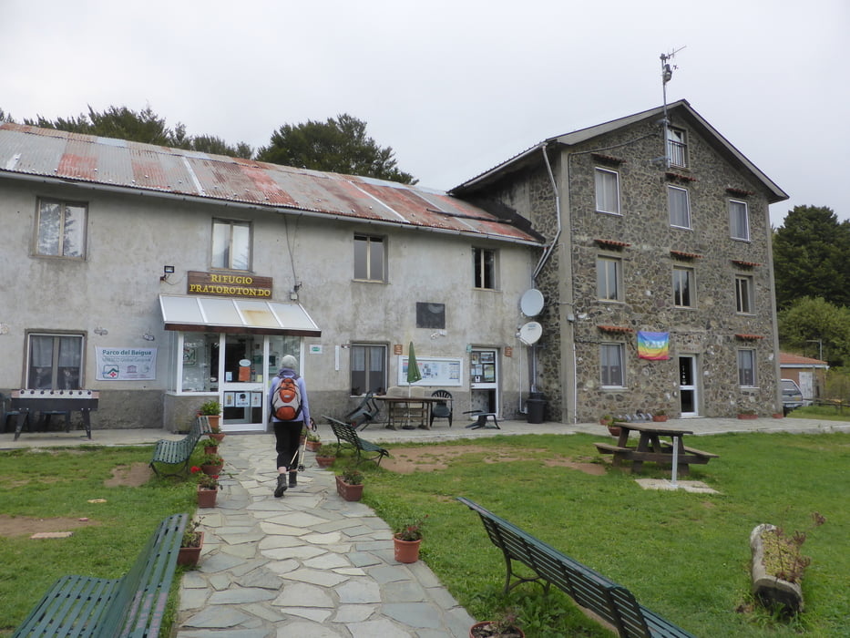
Start oberhalb Cogoleto am Camping Europa / Observatorium. Geteerte Strasse (Radweg) bis Faie. Dort auf schönem Fahrweg S1 Niveau zum Refugio Refugio Pratorotondo am Mt. Beigua (Naturpark Mt. Beigua).
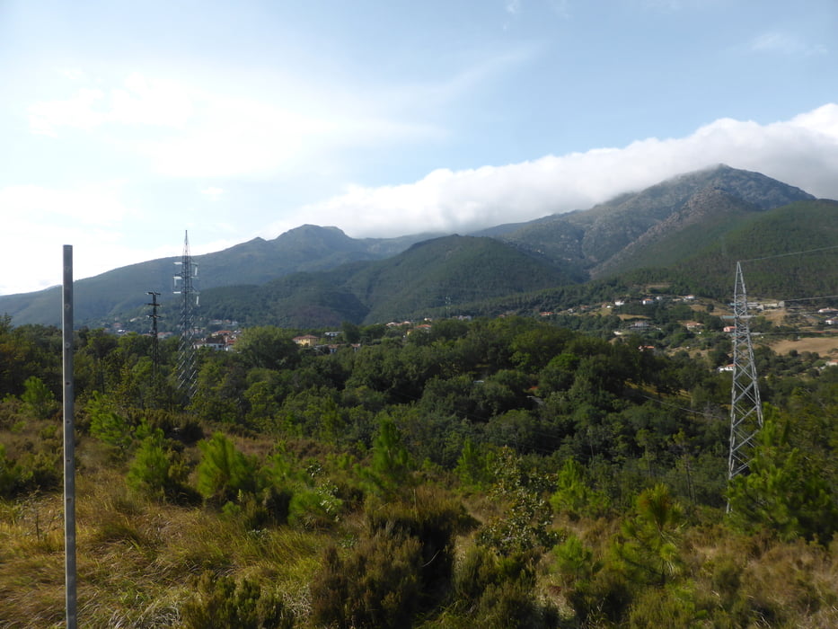
Von dort auf einem S2 Trail nach Sciarborasca. Der Weg ist "hergerichtet " von einem local.
hier noch 2andere Empfehlenswerte;
https://www.komoot.de/tour/92489301
https://www.komoot.de/tour/92727120
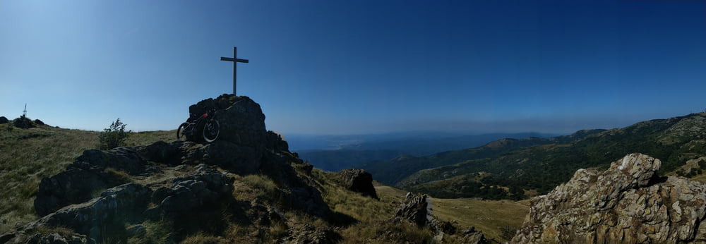
Tour gallery
Tour map and elevation profile
Minimum height 129 m
Maximum height 1088 m
More about the tour author
|
|
skyhopper |
Comments

Autobahnabfahrt Arenazano, nach Cogoleto 3km. Vor der Kirche rechts hoch zum Tourstart.
GPS tracks
Trackpoints-
GPX / Garmin Map Source (gpx) download
-
TCX / Garmin Training Center® (tcx) download
-
CRS / Garmin Training Center® (crs) download
-
Google Earth (kml) download
-
G7ToWin (g7t) download
-
TTQV (trk) download
-
Overlay (ovl) download
-
Fugawi (txt) download
-
Kompass (DAV) Track (tk) download
-
Track data sheet (pdf) download
-
Original file of the author (gpx) download
More about the tour author
|
|
skyhopper |
Add to my favorites
Remove from my favorites
Edit tags
Open track
My score
Rate