


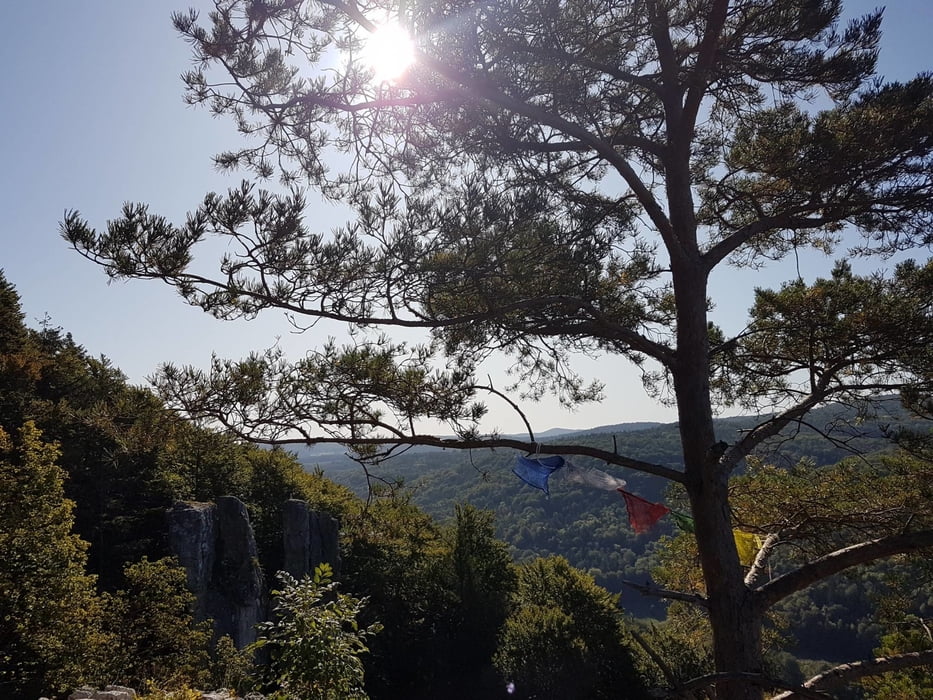
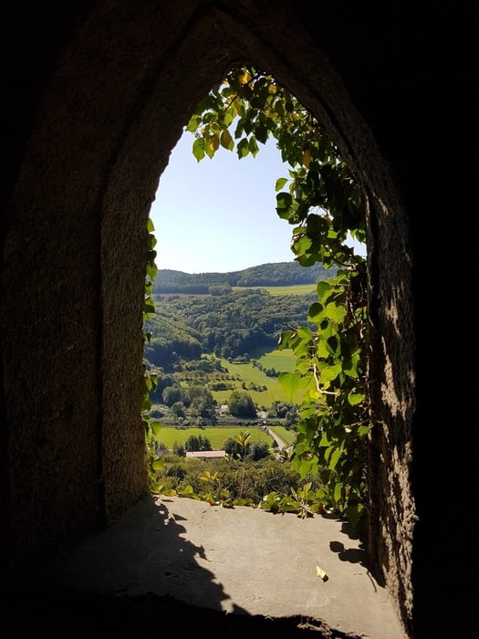
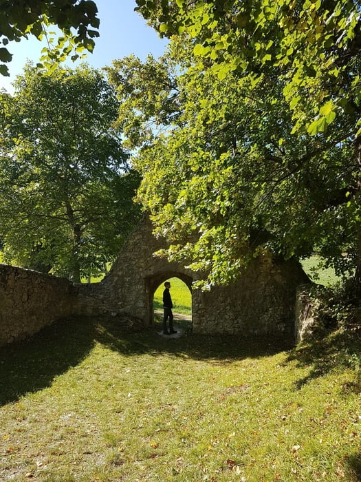
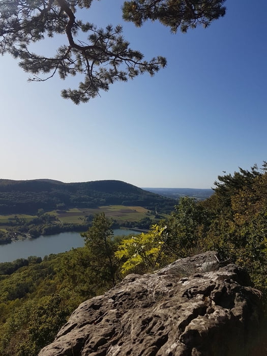
Schöne anspruchsvolle 26-Kilometer-Wanderung in der Hersbrucker Schweiz, Mittelfranken. Ausgangspunkt ist Pommelsbrunn, das sich hervorragend mit der Bahn erreichen lässt. Die Wanderung folgt in großen Teilen dem 1000-Höhenmeter-Weg.
Further information at
http://www.1000hmr.de/Tour gallery
Tour map and elevation profile
Minimum height 367 m
Maximum height 642 m
More about the tour author
|
|
mmehle |
Comments

Mit dem Auto nach Pommelsbrunn. In der Ortsmitte Richtung S-Bahnhaltestelle, dort großer Parkplatz.
Alternativ Anreise mit der S-Bahn/Bahn bis Pommelsbrunn
GPS tracks
Trackpoints-
GPX / Garmin Map Source (gpx) download
-
TCX / Garmin Training Center® (tcx) download
-
CRS / Garmin Training Center® (crs) download
-
Google Earth (kml) download
-
G7ToWin (g7t) download
-
TTQV (trk) download
-
Overlay (ovl) download
-
Fugawi (txt) download
-
Kompass (DAV) Track (tk) download
-
Track data sheet (pdf) download
-
Original file of the author (gpx) download
More about the tour author
|
|
mmehle |
Add to my favorites
Remove from my favorites
Edit tags
Open track
My score
Rate