


Grafen-und Mönchsweg
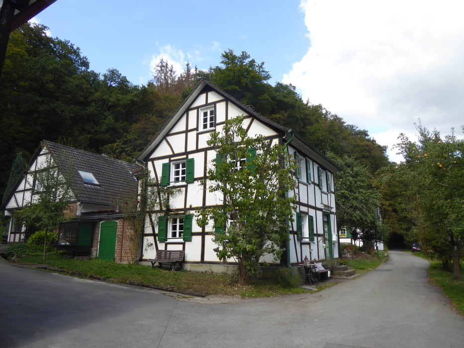
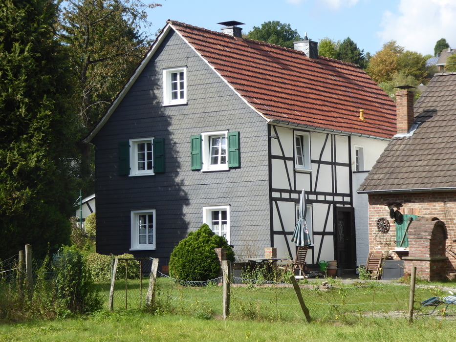
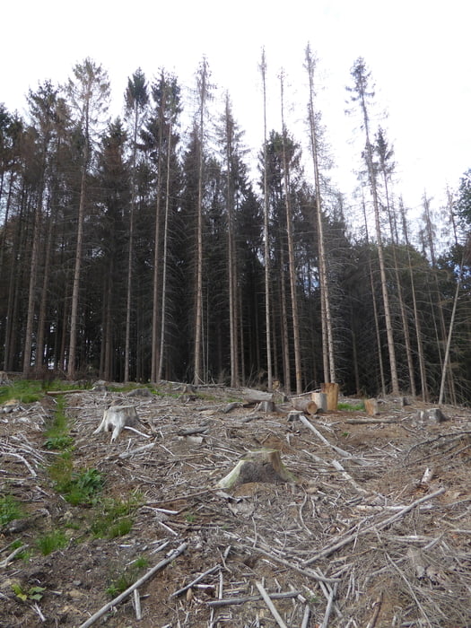
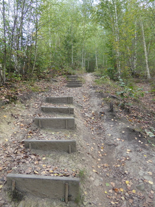
Diese kleine Wanderung zählt zu den sog. Bergischen Streifzügen und lässt sich daher leicht im Internet finden. Start- und Ziel in der Nähe des Altenberger Domes, Wanderparkplatz Am Rösberg. Die Strecke führt durch Wald und an Bächen entlang, enthält Abschnitte, die aspahltiert sind und durch kleine Ortschaften führen. Gegen Ende geht es nochmals steil bergan, bevor man dann bergab schon bald wieder den Ausgangspunkt erreicht. Eine Strecke, die leicht an einem halben Tag zu gehen ist, da man mit Pausen und etwaiger kurzer Besichtigung des Altenberger Domes und dem Besuch eines kleinen Mühlenmuseums unterwegs wohl kaum länger als 4 Std. insgesamt benötigt.
Tour gallery
Tour map and elevation profile
Minimum height 80 m
Maximum height 191 m
More about the tour author

|
Kaiserwil |
Comments

GPS tracks
Trackpoints-
GPX / Garmin Map Source (gpx) download
-
TCX / Garmin Training Center® (tcx) download
-
CRS / Garmin Training Center® (crs) download
-
Google Earth (kml) download
-
G7ToWin (g7t) download
-
TTQV (trk) download
-
Overlay (ovl) download
-
Fugawi (txt) download
-
Kompass (DAV) Track (tk) download
-
Track data sheet (pdf) download
-
Original file of the author (gpx) download
More about the tour author
|
|
Kaiserwil |
Add to my favorites
Remove from my favorites
Edit tags
Open track
My score
Rate