


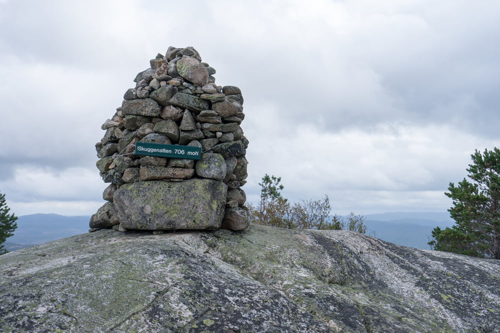
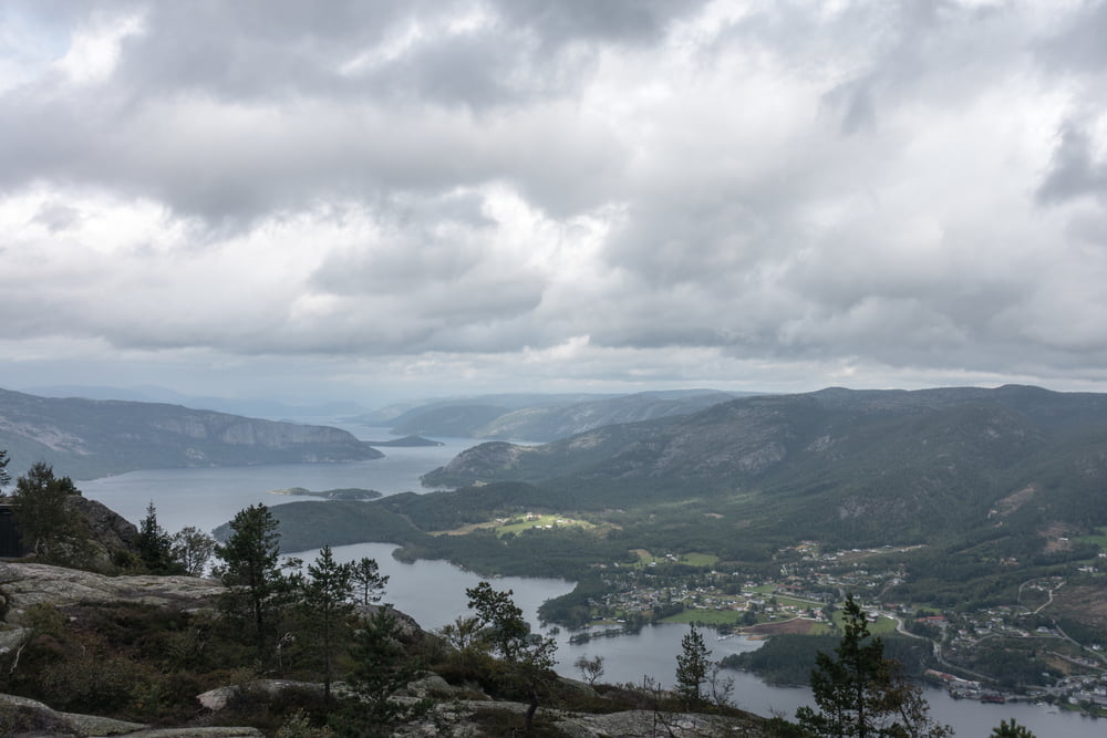
Von Treungen aus gibt es eine schöne Wanderung auf den Aussichtsberg Skuggenatten. Vom Gipfel hat man eine grandiose Aussicht über den Nisser, welcher mit einer Länge von 35 km der größte See der Telemark und der zehntgrößte See Norwegens ist.
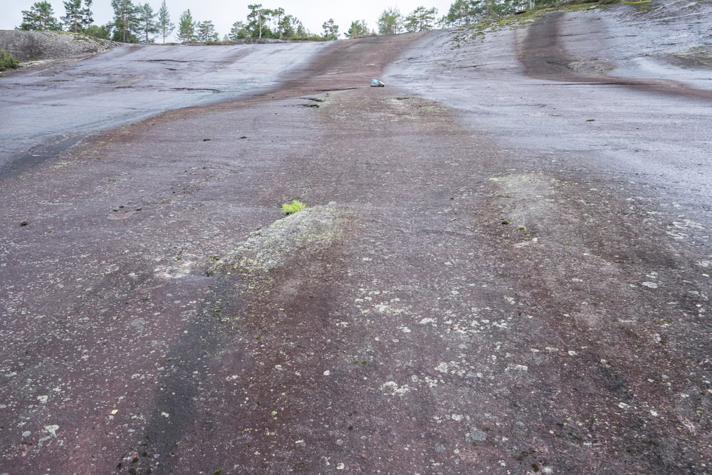
Ich empfehle die Wanderung nur bei trockenen Bedingungen, da ca. 80 % der Strecke über Reibungsplatten geht die bei Nässe sehr rutschig sein können.
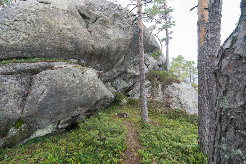
Tour gallery
Tour map and elevation profile
Minimum height 250 m
Maximum height 705 m
More about the tour author

|
raihei |
Comments

Von Treungen auf der 41 in Richtung Åmli fahren und nach ein paar Meter rechts abbiegen und beim Sportplatz in Treungen parken.
GPS tracks
Trackpoints-
GPX / Garmin Map Source (gpx) download
-
TCX / Garmin Training Center® (tcx) download
-
CRS / Garmin Training Center® (crs) download
-
Google Earth (kml) download
-
G7ToWin (g7t) download
-
TTQV (trk) download
-
Overlay (ovl) download
-
Fugawi (txt) download
-
Kompass (DAV) Track (tk) download
-
Track data sheet (pdf) download
-
Original file of the author (gpx) download
More about the tour author
|
|
raihei |
Add to my favorites
Remove from my favorites
Edit tags
Open track
My score
Rate