
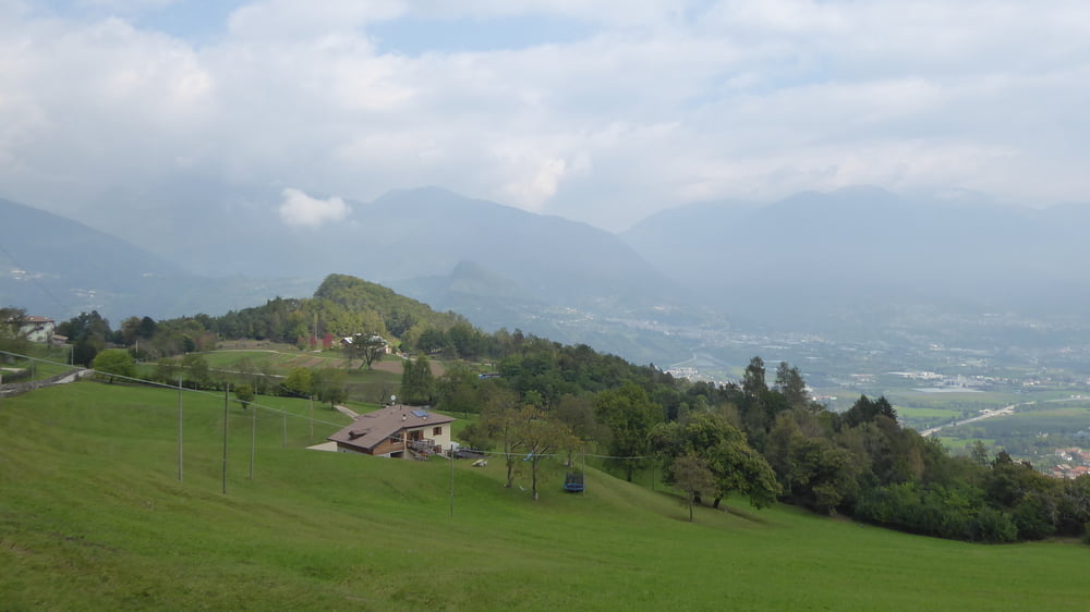

Vom Campingplatz in Levico Terme auf Radweg bis kurz vor Borgo.
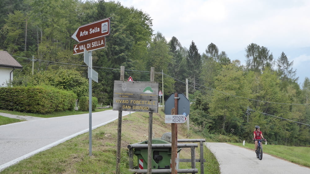
Rechts abgebogen und verkehrsberuhigt bergauf geradelt bis man auf vorerst brüchigem Asphalt auf die Hauptstraße (SP40) ins Val Sella gelangt.
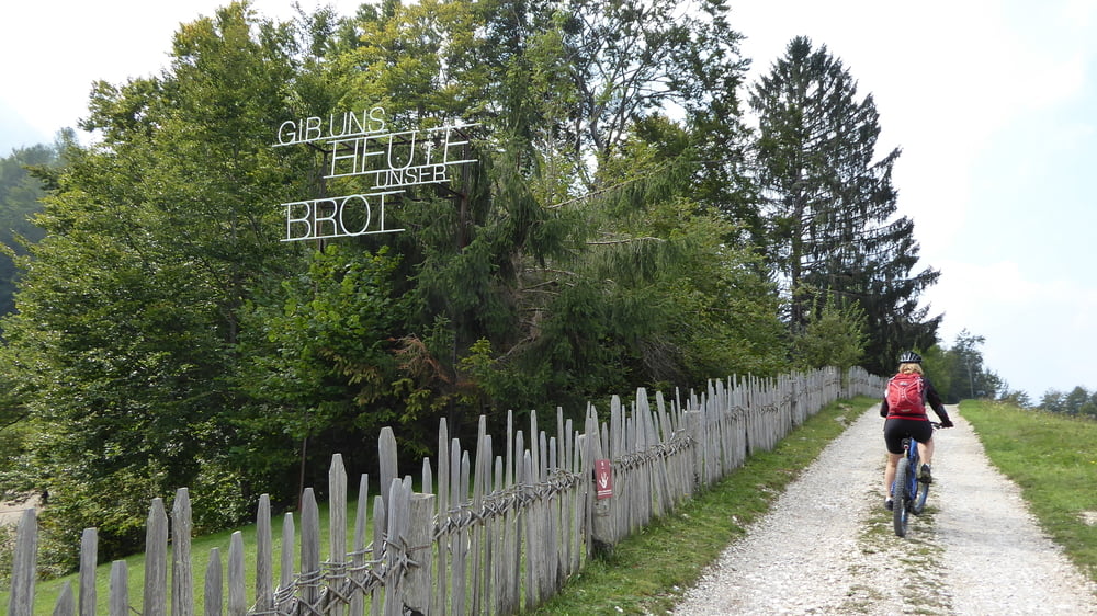
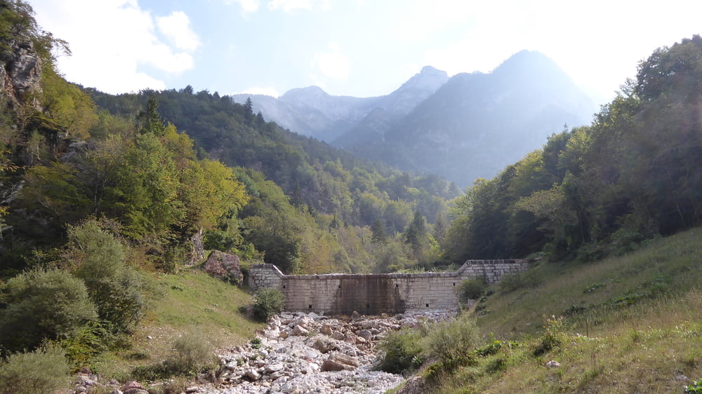
Am Ende des Tales bei der Arte Sella, hier können Skulpturen gegen Bargeld begutachtet werden, geht es kurz auf einem Wanderweg weiter.
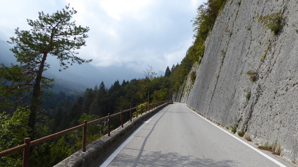
Später wieder ausgeschilderte Mountainbikestrecke der wir weiter serpentinenartig bergab folgen, um kurz vor Levico wieder auf den Radweg treffen.
Strecke durchgehend zweispurig auch der Ausritt auf dem Wanderweg stellt keine sonderliche Herausforderung dar.
Eine Tour für zwischendurch. Landschaftlich, fürs Auge, ist das Val Sella auf jeden Fall zu empfehlen.
Tour gallery
Tour map and elevation profile
Minimum height 397 m
Maximum height 993 m
More about the tour author
|
|
Hoar |
Comments
Levico Terme ... Rundtour
GPS tracks
Trackpoints-
GPX / Garmin Map Source (gpx) download
-
TCX / Garmin Training Center® (tcx) download
-
CRS / Garmin Training Center® (crs) download
-
Google Earth (kml) download
-
G7ToWin (g7t) download
-
TTQV (trk) download
-
Overlay (ovl) download
-
Fugawi (txt) download
-
Kompass (DAV) Track (tk) download
-
Track data sheet (pdf) download
-
Original file of the author (gpx) download
More about the tour author
|
|
Hoar |
Add to my favorites
Remove from my favorites
Edit tags
Open track
My score
Rate
Gesperrt wegen Felsturz