


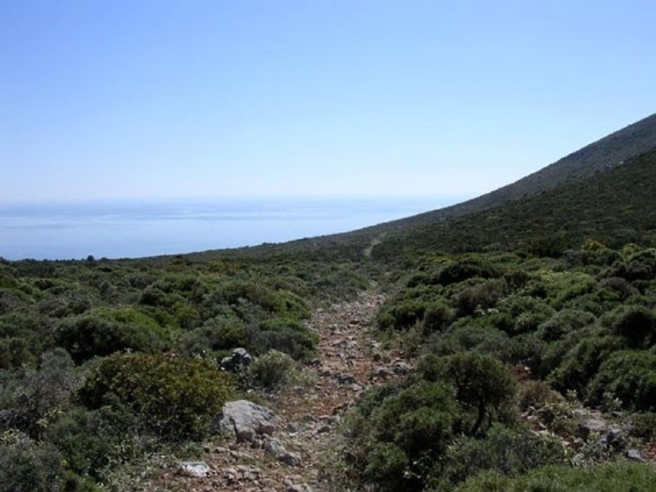
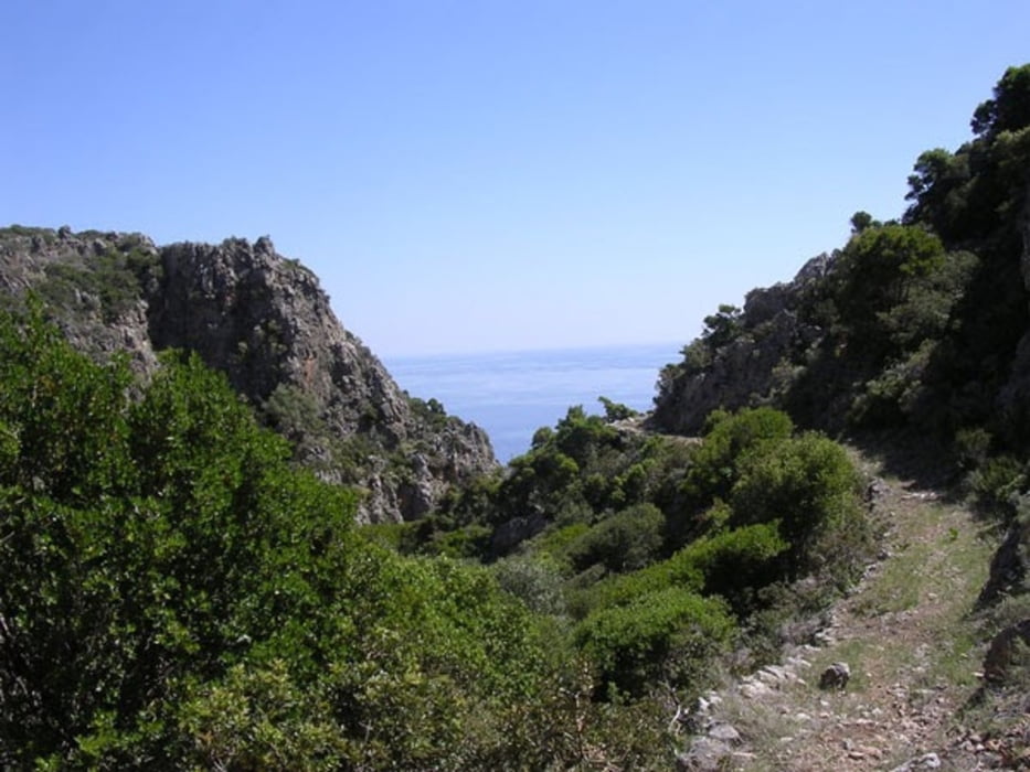
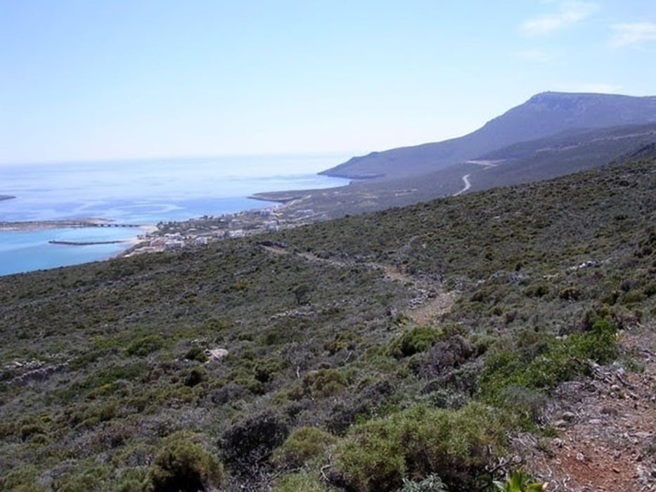
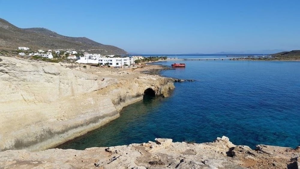
Durch die jahrelangen Bemühungen und den persönlichen Einsatz von Alekos Kastrisios, ein Bewohner von Diakofti, sind diese uralten Pfade wieder zu neuem Leben erweckt worden. Ein Küstenwanderweg mit wunderschönen Aussichten auf den Peloponnes. Ein jahrhunderte alter Pfad nach Diakofti und weiter nach Avlemonas.
Man kann auch den neuen Küstenwanderweg nach Diakofti nehmen und weiter nach Avlemonas wandern. Die gesamte Strecke ist dann 14,8 km lang!
Der neue Küstenwanderweg: https://www.gps-tour.info/de/touren/detail.170478.html
Further information at
https://www.wandern-kythira.de/Tour gallery
Tour map and elevation profile
Minimum height
Maximum height 321 m
More about the tour author
|
|
inselmanie |
Comments

Mit Fahrzeug leicht erreichbar.
GPS tracks
Trackpoints-
GPX / Garmin Map Source (gpx) download
-
TCX / Garmin Training Center® (tcx) download
-
CRS / Garmin Training Center® (crs) download
-
Google Earth (kml) download
-
G7ToWin (g7t) download
-
TTQV (trk) download
-
Overlay (ovl) download
-
Fugawi (txt) download
-
Kompass (DAV) Track (tk) download
-
Track data sheet (pdf) download
-
Original file of the author (gpx) download
More about the tour author
|
|
inselmanie |
Add to my favorites
Remove from my favorites
Edit tags
Open track
My score
Rate