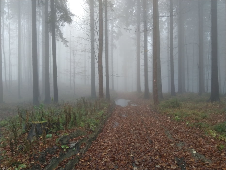
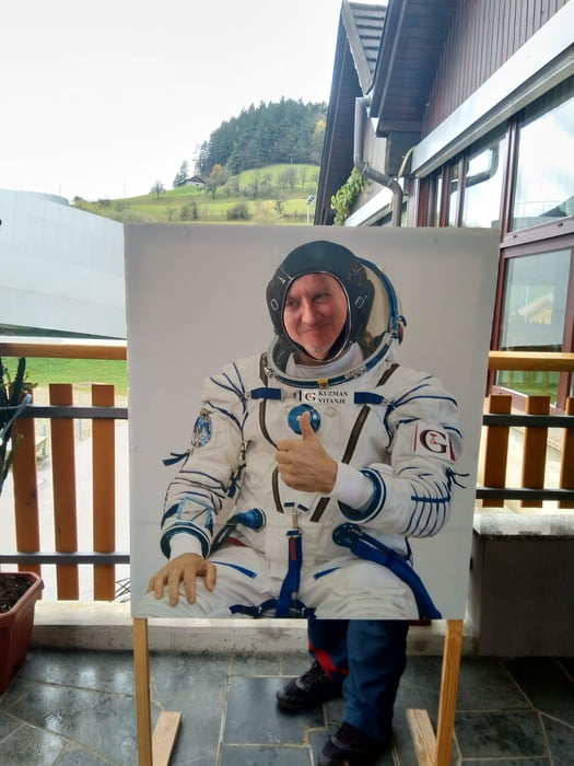
Avto sva pustila pri cerkvi sv, Antona malo nad Vitanjem (Vitanjami?) in se prav hitro skoraj dobesedno zagrizla v zelo strmo in zelo dobro označeno pot. Višje se je malo položila, ampak ne prav za dolgo - večino časa je šla pot naravnost strmo gor po grebenu, ovinkov in serpentin na tem koncu ne poznajo. Višje sva prišla še v meglo, tako da so bili razgledi bolj švoh. Basališče sva dosegla kar prehitro, pa sva se odločila, da greva še do Ostrice. Na koncu obširnih pašnikov pod Ostrico je začelo malo kapljati, tako da sva obrnila in se po isti poti vrnila do avta. V Vitanju (Vitanjah?) sva si bolj od zunaj ogledala še KSEVT in pri Kuzmanu pojedla otroško kosilo. Je bilo vseeno zadosti.
Tour gallery
Tour map and elevation profile
Minimum height 485 m
Maximum height 1296 m
Comments

GPS tracks
Trackpoints-
GPX / Garmin Map Source (gpx) download
-
TCX / Garmin Training Center® (tcx) download
-
CRS / Garmin Training Center® (crs) download
-
Google Earth (kml) download
-
G7ToWin (g7t) download
-
TTQV (trk) download
-
Overlay (ovl) download
-
Fugawi (txt) download
-
Kompass (DAV) Track (tk) download
-
Track data sheet (pdf) download
-
Original file of the author (gpx) download
Add to my favorites
Remove from my favorites
Edit tags
Open track
My score
Rate


