
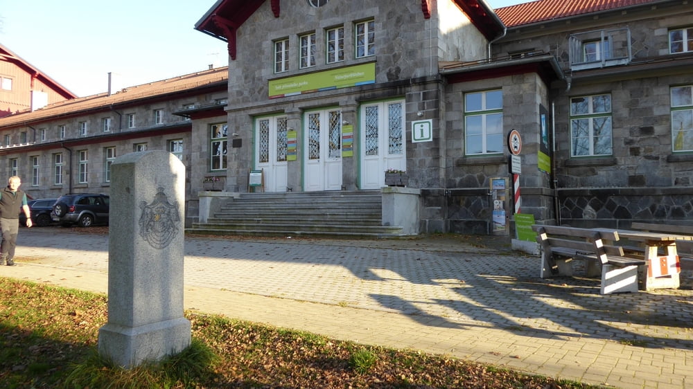

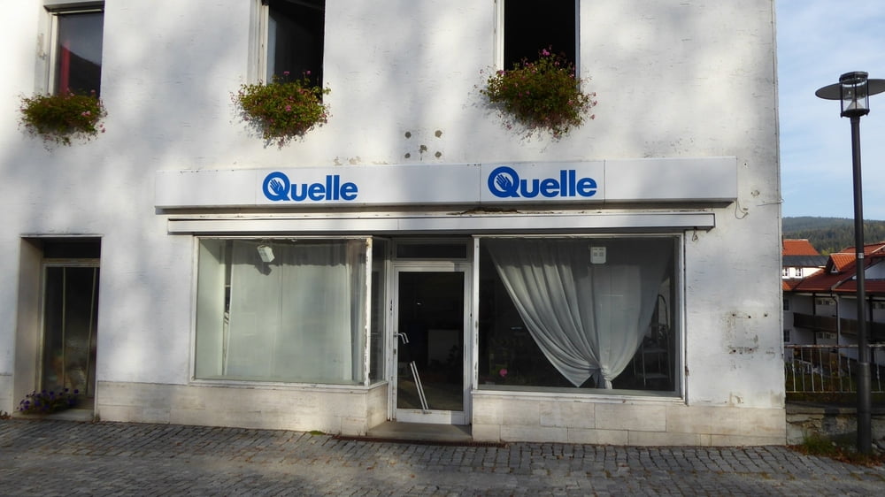
Erkundung des Ortskernes von Bayrisch Eisenstein.
Wir sind dann am Grenzbahnhof in einem Museum hängengeblieben.
Mit der Aktiv Karte die uns unser Vermieter ausgestellt hat war der Museumsbesuch gratis, sogar einen Gutschein für das museumseigene Restaurant wurde und bei der Kassa noch ausgehändigt.
Museum über den Bau der Eisenbahn
Wintersport anno dazumal bis zur Jetztzeit
empfehlenswert!
Tour gallery
Tour map and elevation profile
Minimum height 700 m
Maximum height 725 m
More about the tour author
|
|
Hoar |
Comments

Start und Ziel war ein Wanderparkplatz im Ortszentrum
GPS tracks
Trackpoints-
GPX / Garmin Map Source (gpx) download
-
TCX / Garmin Training Center® (tcx) download
-
CRS / Garmin Training Center® (crs) download
-
Google Earth (kml) download
-
G7ToWin (g7t) download
-
TTQV (trk) download
-
Overlay (ovl) download
-
Fugawi (txt) download
-
Kompass (DAV) Track (tk) download
-
Track data sheet (pdf) download
-
Original file of the author (gpx) download
More about the tour author
|
|
Hoar |
Add to my favorites
Remove from my favorites
Edit tags
Open track
My score
Rate