


Vom Parkplatz am Waldrand abwärts zum Taubensee, um den See herum, ein Stück neben Alter Reichenhaller Straße entlang. Am Campingplatz über Wiese zu Gehöft, gleich danach rechts auf den herbstlichen König- Max- Weg.
Wenn man nicht auf gleichem Weg zurück will: nach links auf der wenig befahrene Triebenbacher Straße zur Kreuzung am Brandhäusl, an Haltestelle auf Weg zu Gehöft aufwärts, links und rechts ab auf Alte Reichenhaller Straße. Auf dieser bis zum Beginn des König- Max- Weges, dann rechts ab durch einen Graben, aufwärts zur B305 und neben dieser zum Parkplatz zurück.
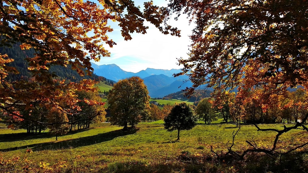
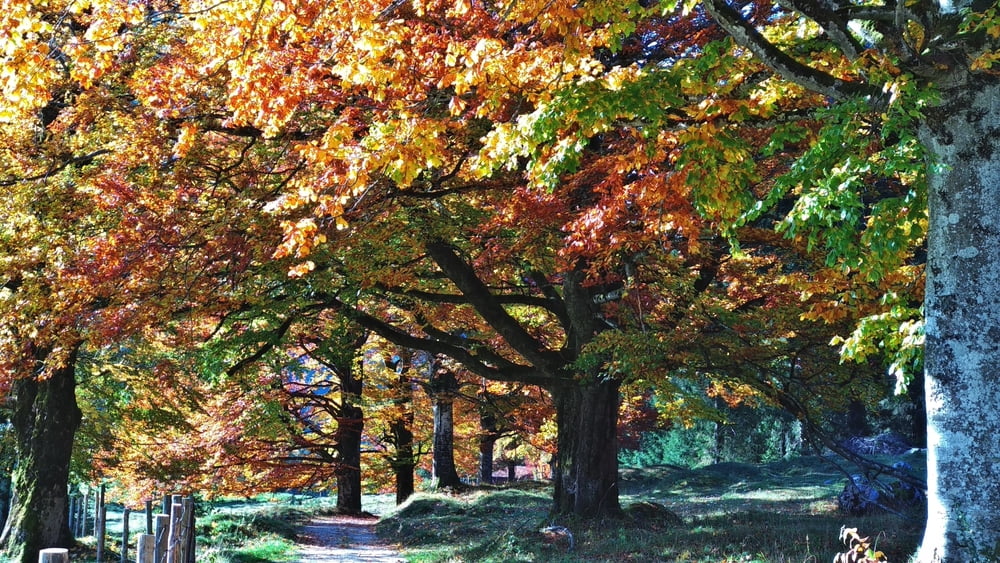
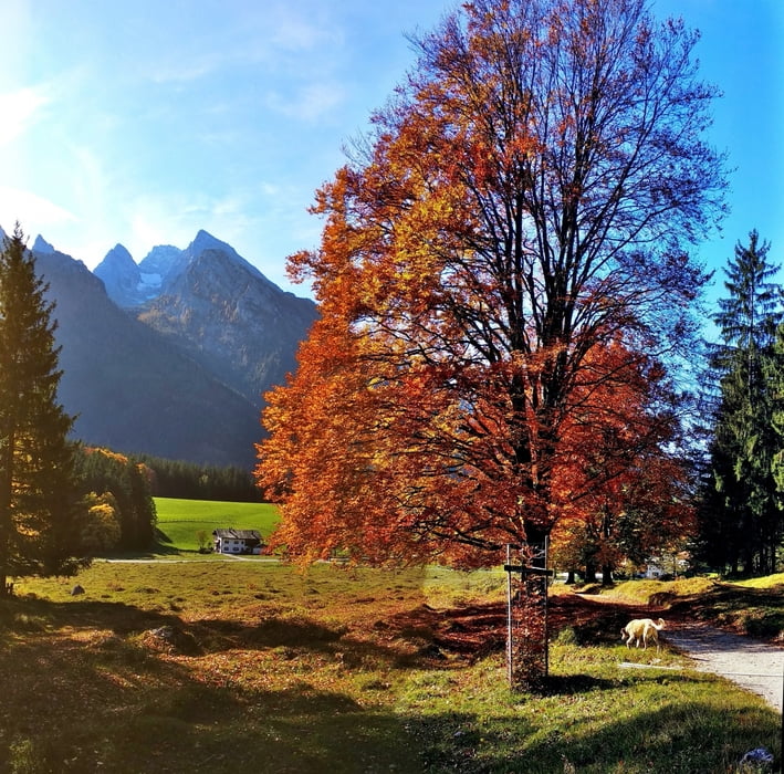
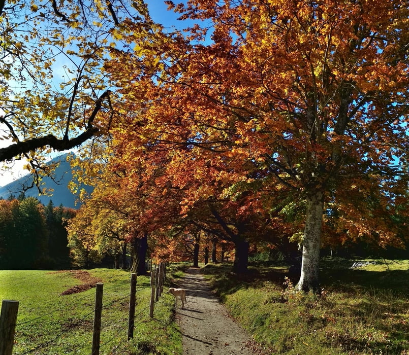
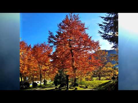
Tour gallery
Tour map and elevation profile
Minimum height 791 m
Maximum height 894 m
More about the tour author
|
|
heinz-57 |
Comments

Von Berchtesgaben kommend uf der B305 an Ramsau vorbei; bei herrlichem Ausblick weiter bis zum Waldrand: Parkplatz "Taubensee"
GPS tracks
Trackpoints-
GPX / Garmin Map Source (gpx) download
-
TCX / Garmin Training Center® (tcx) download
-
CRS / Garmin Training Center® (crs) download
-
Google Earth (kml) download
-
G7ToWin (g7t) download
-
TTQV (trk) download
-
Overlay (ovl) download
-
Fugawi (txt) download
-
Kompass (DAV) Track (tk) download
-
Track data sheet (pdf) download
-
Original file of the author (gpx) download
More about the tour author
|
|
heinz-57 |
Add to my favorites
Remove from my favorites
Edit tags
Open track
My score
Rate