


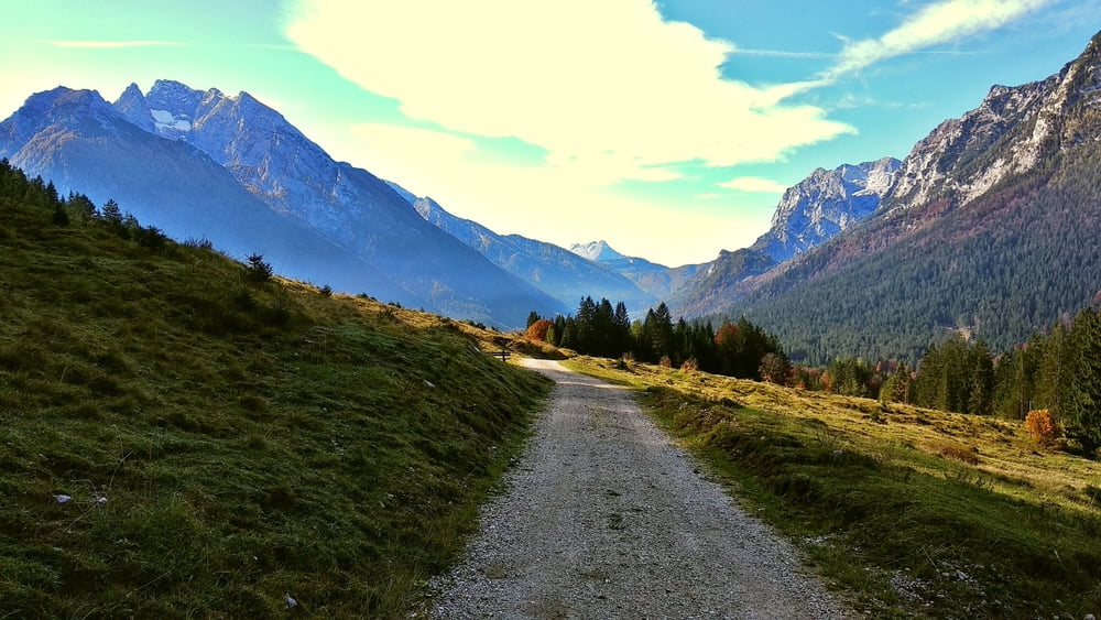
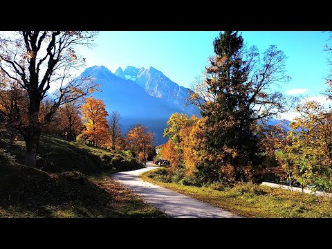
Vom Zipfhäusl über die Straße, auf Soleleitungsweg bequem dahin, bei Abzweigung "Mordaualm" halbrechts weiter leicht bergan nach Pfaffental. Links ab über Forststraße abwärts, kurz vor Parkplatz Taubensee links über Wiese und auf Weg durch einen Graben zurück zum Soleleitungsweg und Ausgangspunkt.
Tour gallery


Tour map and elevation profile
Minimum height 886 m
Maximum height 1015 m
More about the tour author
|
|
heinz-57 |
Comments

Von Berchtesgaden kommend auf B305 an Ramsau vorbei aufwärts, an Wegweiser "Hochschwarzeck" rechts weiter bergan zum Parkplatz "Zipfhäusl"
GPS tracks
Trackpoints-
GPX / Garmin Map Source (gpx) download
-
TCX / Garmin Training Center® (tcx) download
-
CRS / Garmin Training Center® (crs) download
-
Google Earth (kml) download
-
G7ToWin (g7t) download
-
TTQV (trk) download
-
Overlay (ovl) download
-
Fugawi (txt) download
-
Kompass (DAV) Track (tk) download
-
Track data sheet (pdf) download
-
Original file of the author (gpx) download
More about the tour author
|
|
heinz-57 |
Add to my favorites
Remove from my favorites
Edit tags
Open track
My score
Rate